Mercer
Princeton
Woodfield Reservation & Princeton Day School/Pond View
Princeton, NJ 08540


Last Updated: 06/24/2013
Overview of Selected Trail
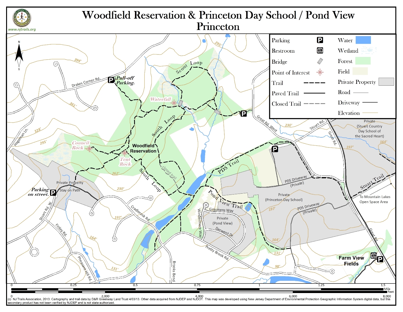
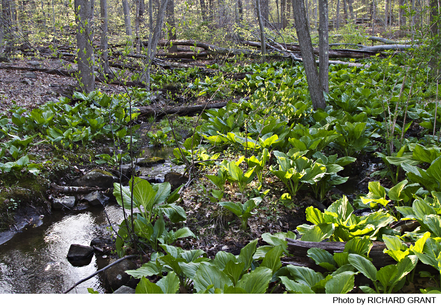
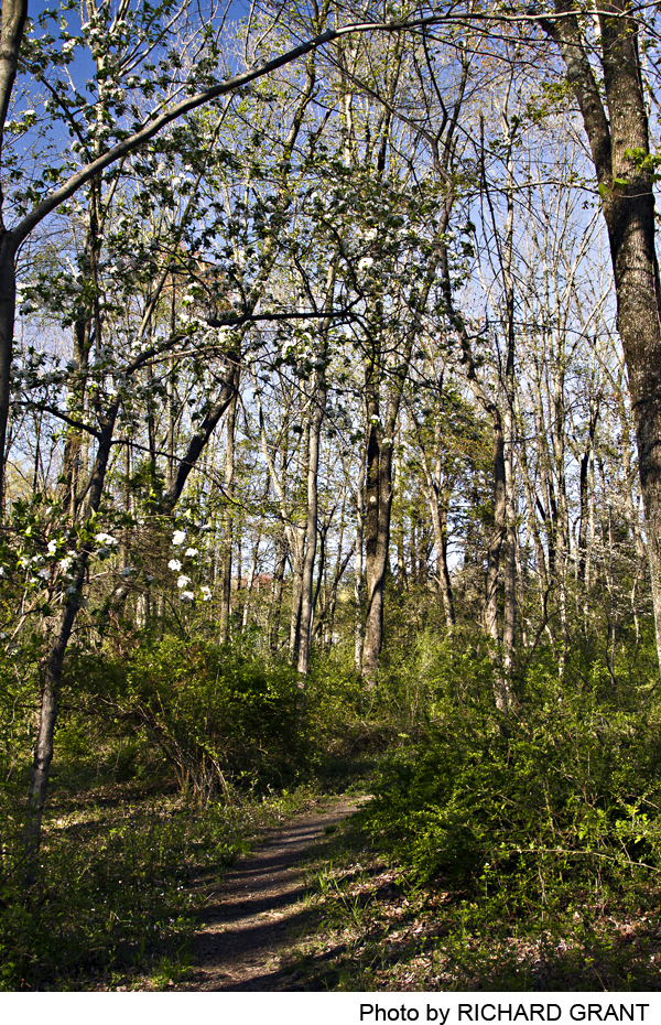
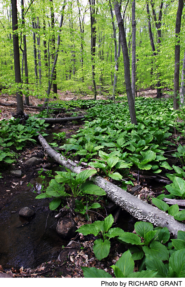
Woodfield Reservation is a heavily wooded area of roughly 150 acres on sloping land, with two streams and several interesting geologic features. At its southern end, a trail crosses between man-made ponds to connect with the PDS and Pond View Trails; the former essentially links Woodfield with the Stuart Trail and Mountain Lakes Open Space Area to the east, as well as to Pretty Brook Rd. (no parking). The eastern end of this trail turns off the walkway entering Princeton Day School at the traffic light on The Great Road, and almost directly across the road (50 ft. north) is the start of the Stuart Trail, which runs along the edge of Coventry Farm before entering Mountain Lakes. Both trails are on private property with limited public access. The Pond View Trail, which ends at the PDS rear driveway, is used by the public, but has no official public access.
-
-
Distance:
Scout Loop: 0.5 mile
South Loop: 1.2 miles
PDS/Pond View Trail: 1.0 mile
Total of about 4.0 milesTime:
Allow 2-3 hours for full exploration
Markings:
White trail blazes exist, some more clear than others. A few wooden signs.
Trail Usage:
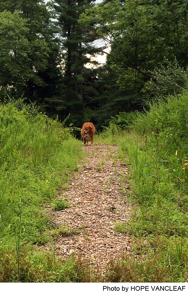
Walking/Hiking, Dogs permitted on leash
Elevation:
50 foot gain from the main parking lot to Tent Rock, and 200 feet to Drake’s Corner Road from the ponds.
Difficulty:
Some fairly steep slopes. Suitable for vigorous walkers.
Parking:
The main entrance to Woodfield, marked by a sign, is located off The Great Road West, across from Tenacre Foundation; a gravel drive leads to the small parking lot. A second entrance, also with a sign, is a footpath from the south side of Drakes Corner Road, where there is room to park two or three cars. Several cars may also be parked in the cul-de-sac at the end of Stuart Rd. West. At times it may also be possible to park in the PDS lot for the athletic fields (Stuart Rd. W. entrance may be closed) and join the PDS Trail where it passes the north end of the lot (in the woods).
Tips:
Amenities:
Camping, fires, hunting or use of vehicles is not allowed in the park. Also there is no provision for mountain bike use or horse back riding. Dogs should be kept under close control.
Directions:
From Pennington and points west: Take CR-624 , Pennington-Rocky Hill Road, (Cherry Valley Rd.) for 6.4 miles to the third stop light (The Great Road). Turn right onto The Great Road and after 0.7 mile, turn right onto Great Road West (improperly identified). The entrance will be on your right after ¼ mile. For the PDS lot, continue another 0.2 mile to the Stuart Rd. entrance, which is sometimes closed, in which case the lot may still be accessed via the next access road into the campus.
From Princeton: Take SR-206 (Stockton Street) South for about 0.7 miles to Elm Road. Turn right on Elm Road (The Great Road) and go North for about 1-3/4 miles. Turn left onto Great Road West (improperly identified) just beyond the entrance to Princeton Day School. The entrance will be on your left after half a mile. For the PDS lot, go 0.3 mile on Great Road West to the Stuart Rd. entrance (see above).
-
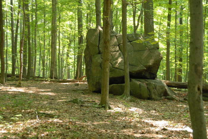
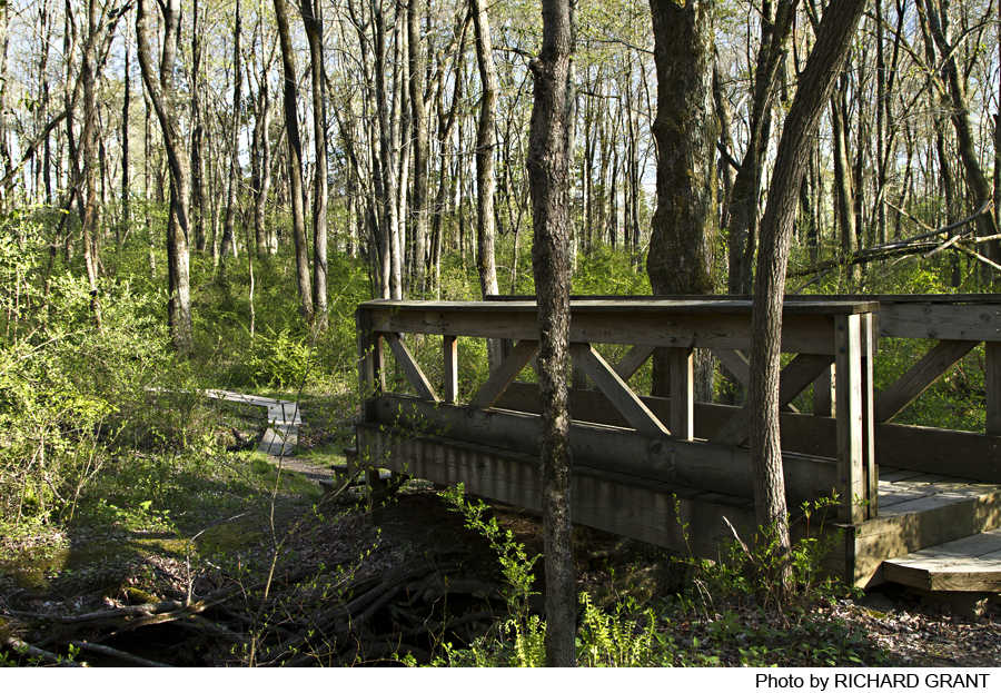
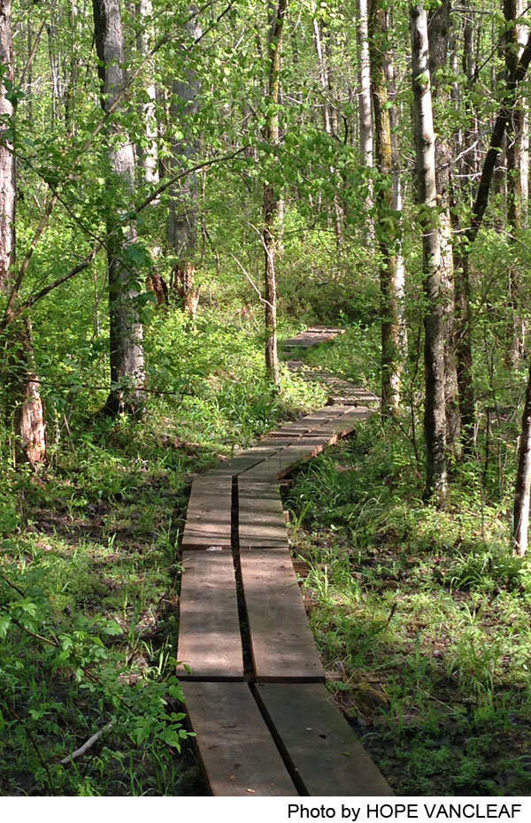
The trail from the main parking lot drops down to a step bridge, beyond which it immediately forks; both forks are part of the Scout Loop. This is a very scenic loop that parallels one pretty stream and later another, with a bridge and a waterfall. Just to the west of the second stream there are connections to both sides of the South Loop. The northern segment passes a spur leading uphill to the parking spot on Drakes Corner Rd. A second fork goes right to Council Rock, high above a boulder field. Another spur passes just to the right of Tent Rock, a massive boulder, and continues downhill to a paved bike path connecting Stuart Rd. West with Cradle Rock Rd. (the lower end runs through private property- stay on the trail).The South Loop itself passes to the left of Tent Rock and continues south down the hill for another 0.4 mile before reaching the south edge of the park. (The lower portion of the loop can be very wet in late winter and early spring.)
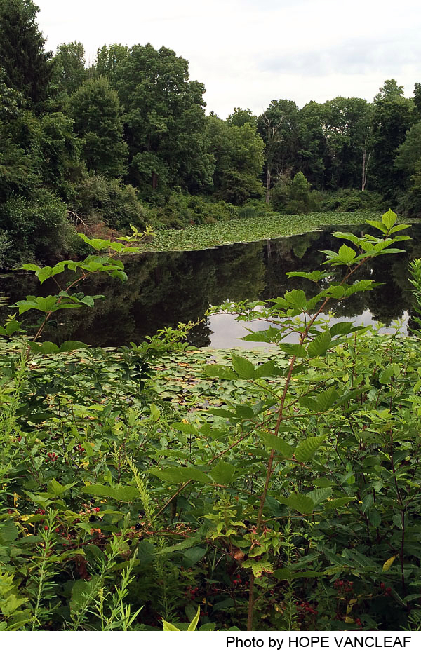
At the south end of South Loop is a three-way intersection: going straight ahead leads back uphill on the eastern half of the Loop. The right fork leads out of the woods – and out of the park – between two man-made ponds to the Pond View Trail. At this junction, a right turn will lead through a pine forest to Cradle Rock Rd. along the east side of two ponds. A rough, hard to find trail continues along a third pond out to Pretty Brook Rd.
A left turn at the Pond View junction will lead shortly to the PDS Trail, which cuts off to the left as the Pond View Trail begins to run uphill into Pond View, passing through community-owned land around the pond, which gives the area its name, and ending at the PDS south driveway (see above note). Look carefully for the PDS Trail, which can be hard to see. After bordering the pond briefly, it crosses a small stream before turning more to the east and running along the northern boundary of PDS. At the Stuart Rd. entrance off Great Road West it turns to the right, crossing the driveway, and parallels the road to its junction with The Great Road, terminating at the PDS main entrance.
-
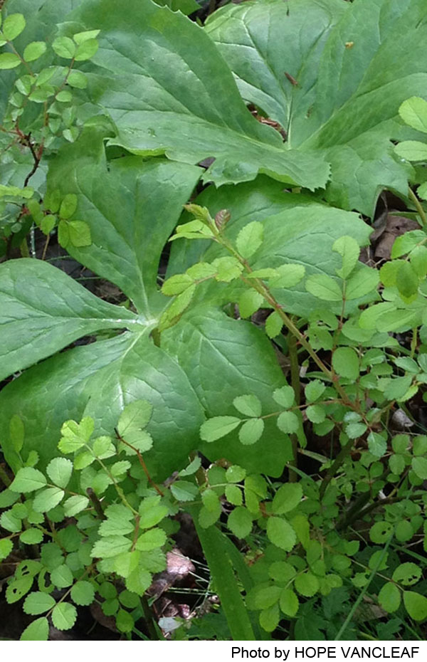
Much of Woodfield Reservation used to be active farmland, and since the late 1930’s, the land has been reverting back to woodland. Loose rock walls created while clearing for pasture are still visible in the woods. The trees now growing here are typical of the area, composed largely of tulip poplar, beech, oak and hickory, with an understory of a variety of shrubs, ferns and wild flowers. A great many of the larger trees may be seen lying on their sides, having been blown down in the storms of 2011 and 2012.
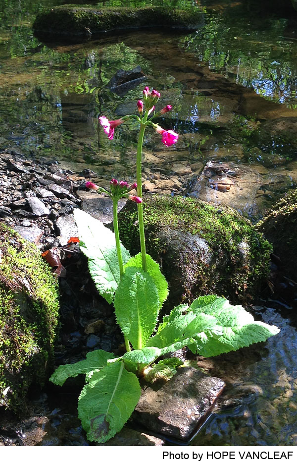
As part of a larger patch of woodland on the Ridge, the area is home to a wide variety of wildlife, including scarlet tanagers, orioles, grosbeaks and many types of warblers. Many animals are to be found as well, including opossums, raccoons and deer. Frogs can sometimes be spotted in the pools of the small streams.
Do you have information about this trail?
Click Here to contribute.
-
From 1964 to 1966, Mr. and Mrs. Pennypacker, Mrs. Poe, and Princeton University made available a total of about 101 acres for public open space and passive recreation to Princeton Township. This became the core of Woodfield Reservation.
Over the years, other parcels have been added. In 1974, Mrs. Poe donated the parking lot on the Great Road. In 1980, Mr. and Mrs. Kerr gave 2 acres in the NE corner and an easement to Drakes Corner Road. In 1993, Lanwin Development added a 2-acre and an 8-acre parcel in the NW area.
In January 1994, when Mrs. Poe passed away, the lower fifty acres reverted to her estate and came available for sale. Neighboring Tenacre Foundation, Friends of Princeton Open Space, and other organizations and individuals donated funds and time to enable the Township to acquire this important part of Woodfield Reservation. In 1998, members of The Demenil Trust added an 8-acre lot that included Council Rock. Since then, additional acreage has been added in the western section beyond Council Rock, almost reaching Hageman Lane.
The four man-made ponds, all but one small piece of which are within public open space, were built by Dean Mathey, primarily for his sons and others to play hockey on. His land was eventually donated to PDS for its new campus, and the western portion was later sold to the developer of Pond View, which then granted a conservation easement for the ponds and surrounding land.
Through the generosity of community members over the years, as well as help from the Township and State Green Acres Funding, Woodfield Reservation will remain in the public trust to be available in perpetuity for all in the community to enjoy.
Do you have information about this trail?
Click Here to contribute.
-
Photos
Videos
