Mercer
Hopewell Township
Marshall’s Corner Preserve
Hopewell Township, NJ 08525

Last Updated: 05/29/2025
Overview of Selected Trail
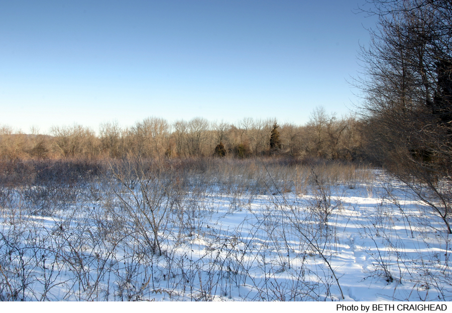
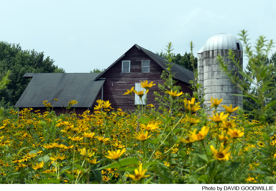
This 1.6 mile trail is a double loop that starts out alongside agricultural fields then splits after about a quarter mile. The left fork of the trail leads you through a forest of young hardwood trees down towards a tributary to Stony Brook. It Follows the tributary and then Stony Brook through a wetland area, back up to meadows of wildflowers, through a hedgerow and along the edge of a farm field where it joins the main trail back to the parking lot.
-
-
Distance:
1.6 miles
Time:
1-1.5 hours
Markings:
Painted white diamonds on trees
Trail Usage:
Walking and hiking only.
Elevation:
Nearly flat
Difficulty:
Easy.
Parking:
There is a small parking area off Route 654 (Pennington Hopewell Road) that can hold 2 to 3 cars. Access is identified by the “Nature Preserve” sign and is next to the historic Marshall Corner one room schoolhouse with the red metal roof. N40.3628, W74.7939
Tips:
Amenities:
Directions:
From Trenton:
Take Route 31 North: Bear right on county Route 654 (Pennington Hopewell Road). The parking area is on the left after 0.5 miles.
From Flemington:
Take Route 202/31 South: continue on route 31 South when the roads split. Follow Route 31 South to Marshall Corner Woodsville Road. Turn left and follow the road for 0.2 miles. Turn left onto County Road 654 (Pennington Hopewell Road). The parking area is on the left in 0.1 miles.
-
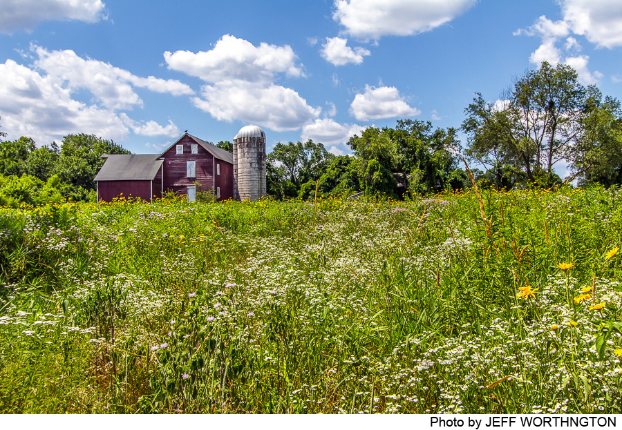
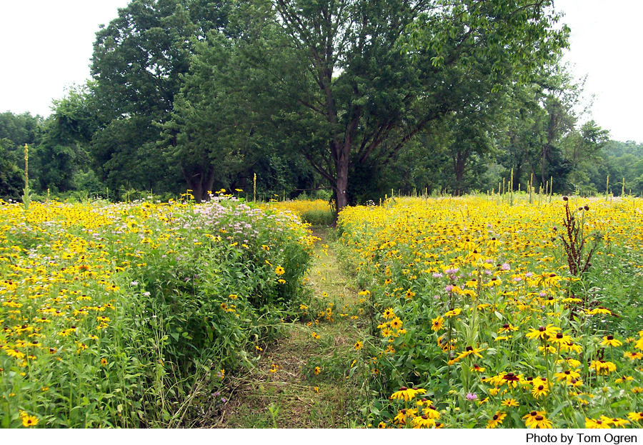
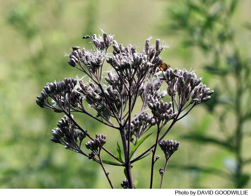
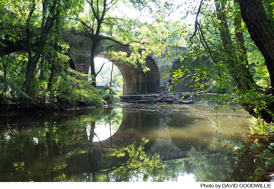
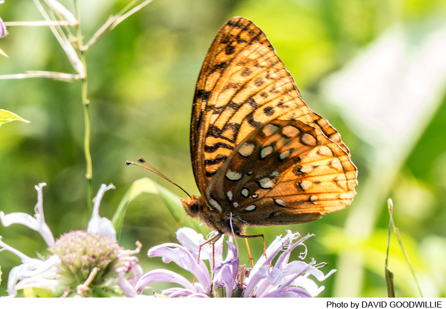
From the parking lot the loop trail follows the edge of an organic farm field on the right and the edge of a young forest on the left. At the end of the field, the trail forks, beginning the outer loop. The right fork follows the edge of the farm field to the wildflower meadow. The left fork descends through dappled shade of black walnut, oak, maple and ash trees. There is a cutoff which makes the shorter loop trail. As the trail turns to follow Stony Brook, look for large sycamore trees along the banks. The trail climbs out of the woods/wetland area it enters a restored meadow of shoulder high wildflowers to complete the loop. The meadows of native wildflowers and grasses include black eyed Susan, wild bergamot, Joe Pye weed, blazing star, pokeweed and asters.
-
Do you have information about this trail?
Click Here to contribute.
-
A 1930 aerial photograph shows that with the exception of a small orchard, the land was entirely pastured and hay fields. Farming was gradually reduced so we now have areas of young forest as well as meadows and farm fields. The land was purchased in 2002 by the Friends of Hopewell Valley Open Space for preservation, hiking, nature study and organic farming.
In the summer of 2010, two overgrown fields totaling 8.5 acres were prepared for a meadow restoration project. Grants from the Natural Resources Conservation Service, U.S. Fish & Wildlife Service and the Washington Crossing Audubon Society enabled 8 acres of multi-flora rose to be removed and wildflowers planted in the newly prepared soil.
Do you have information about this trail?
Click Here to contribute.
-
Photos
Videos
