Mercer
Hopewell Township
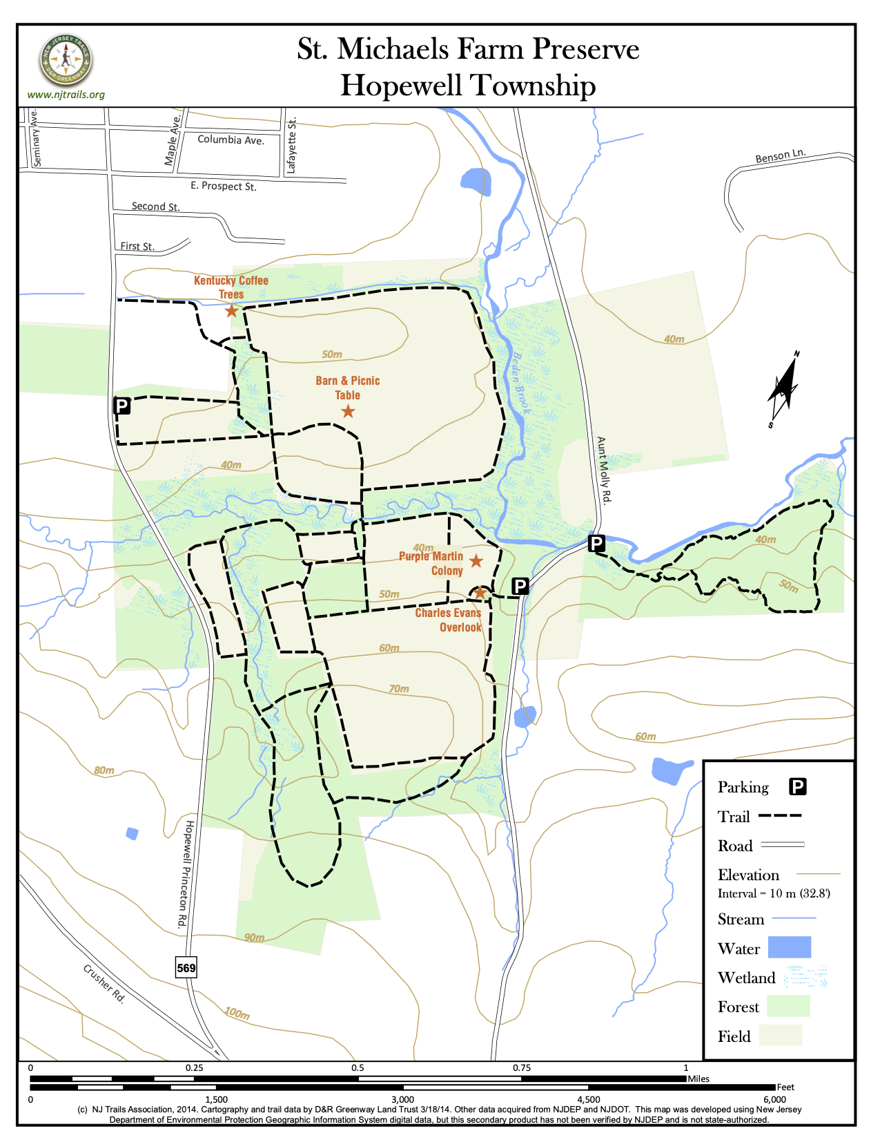
St. Michaels Farm Preserve
Hopewell Township, NJ 08525


Last Updated: 10/04/2020
Overview of Selected Trail
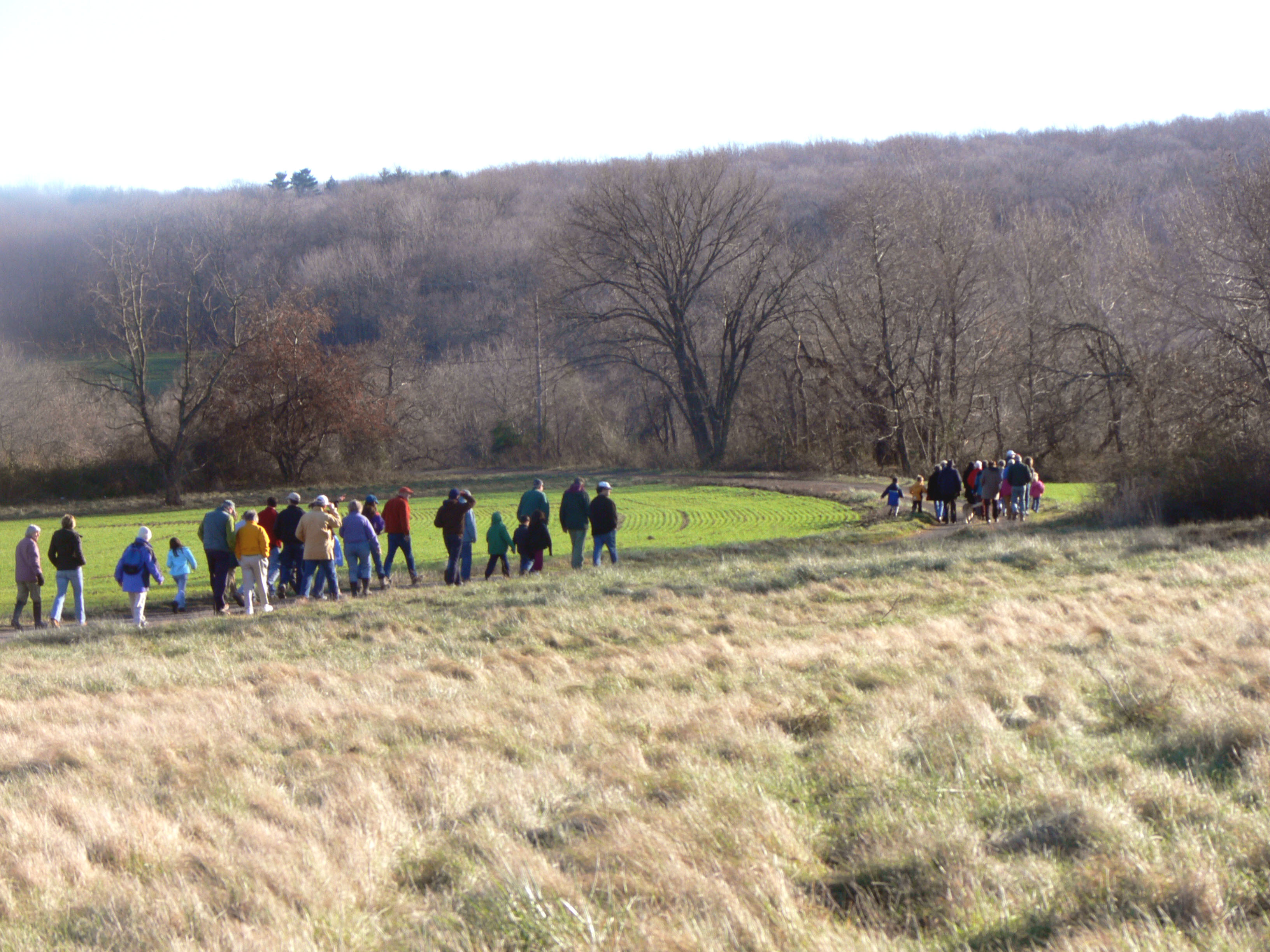
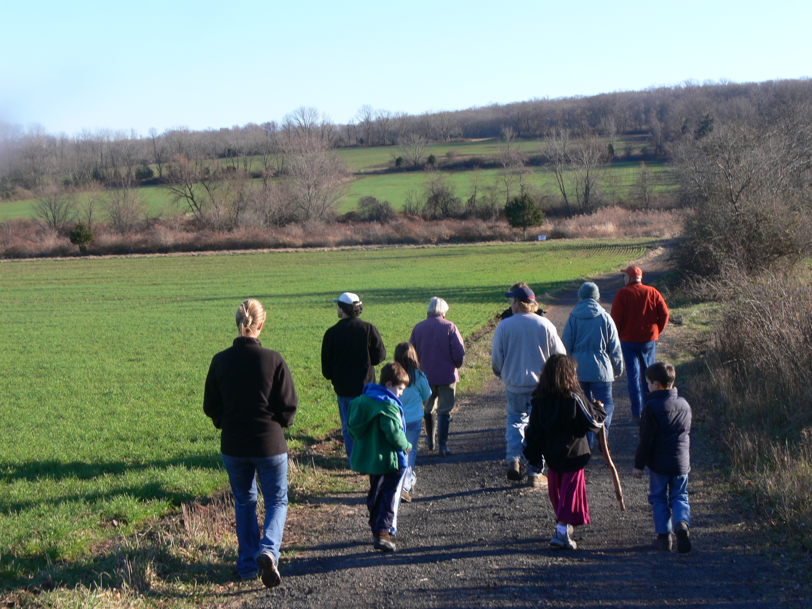
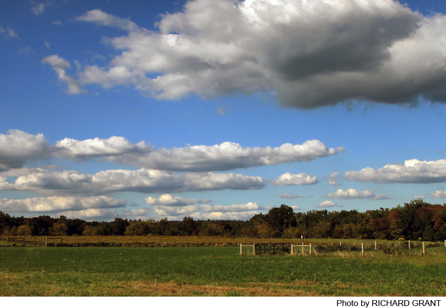
The St. Michaels Farm Preserve is a pioneering example of how to accommodate farming and public recreation in the same area. The preserve includes a total of 396 acres of preserved land, mostly between Hopewell-Princeton Road and Aunt Molly Road, but also on the east side of Aunt Molly Road. About 200 acres of the preserve are actively farmed under lease from D&R Greenway Land Trust, and the remaining 196 acres are forested. Many trails follow old farm roads or mowed routes along field edges, but east of Aunt Molly Road and in the southern portion of the property, woodland hiking paths have been created. Walks on the preserve offer bucolic open vistas, and from the overlook near Aunt Molly Road a broad view of the preserve, the spires of Hopewell, and the Sourland Ridge to the north can be seen.
-
-
Distance:
About 7.3 miles of trails.
Time:
The longest loop walk can be done at a leisurely pace in an hour.
Markings:
There are trail markers in the nested trails but not in the open trails. Routes in the open areas are easy to follow. Directional signs point the way to major landmarks shown on the preserve map.
Trail Usage:
Walkers and bikers allowed. Dogs must be on leash. No motorized vehicles.
Elevation:
Rolling terrain with elevations ranging from 300 feet in the woodlands at the southern preserve boundary to 160 feet at the main parking lot, and down to 118 feet where Bedens Brook crosses under Aunt Molly Road.
Difficulty:
Easy. Many of the trails are either old farm roads or mowed routes along the edges of meadows. Grades are moderate.
Parking:
Parking is available in two places: (1) a large lot on the east side of Hopewell-Princeton Road (Princeton Avenue coming out of Hopewell), .5 mile from its intersection with Route 518 (Broad Street), and (2) space for two cars on the east side of Aunt Molly Road, .7 mile from its intersection with Route 518, on the south end of the small bridge across Beden’s Brook.
Tips:
Trails on this preserve co-exist with active farming. Stay on the trails. Enjoy the view of grazing animals, but do not cross the fences that enclose them, and do not touch or feed the animals. If you walk with a dog, please keep the dog on leash at all times. Please keep out of farm buildings on the preserve.
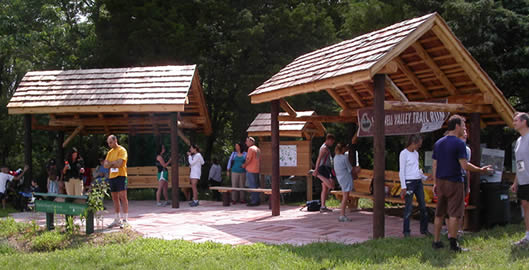
Amenities:
None.
Directions:
From Princeton: Take Rosedale Road out of town, turn right on Carter Road. Follow Carter Road for four miles, to parking lot on the right just before entering Hopewell Borough. For the Aunt Molly entrance, go only 2.5 miles on Carter Road, turn right on Pennington- Rocky Hill (Cherry Valley) Road, then after just a tenth of a mile turn left on Aunt Molly Road. The path in to the main preserve is .9 mile in on the left, and the small parking area by the trailhead for the east side of Aunt Molly Road is just .1 mile further.
From Route 206 in Rocky Hill: Go west on Route 518 towards Hopewell. For the Aunt Molly Road trail, turn left on Aunt Molly Road at 5.5 miles from Route 206, and drive .7 mile to the parking area on the left just beyond Beden’s Brook. For the main preserve entrance, continue on Route 518 one more mile into Hopewell and turn left on Princeton Avenue at the traffic light. The main parking lot is .5 mile out Princeton Avenue on the left.
From Pennington: Go east on Delaware Avenue (from Route 31 at the light at the Pennington Market). Continue for 4.7 miles on Pennington-Rocky Hill Road, turn left at the light on Carter Road, and continue on Carter Road towards Hopewell for 1.4 miles to the main parking on the right. For the Aunty Molly trail, cross Carter Road and turn left on Aunt Molly Road after .1 mile.
-
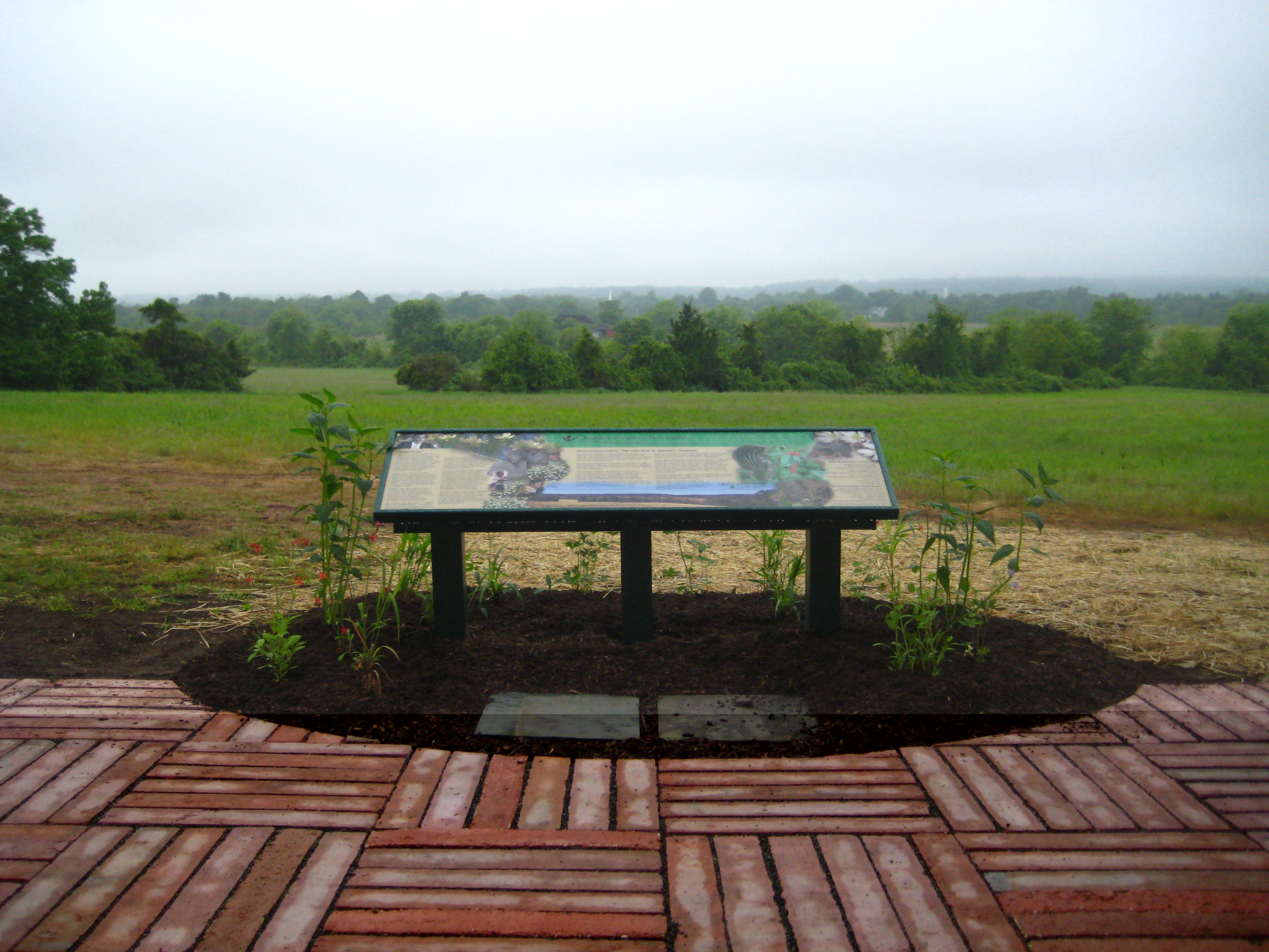
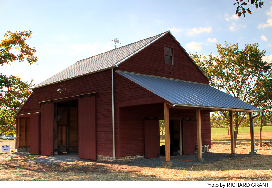
The central spine of the trail network runs from the parking area on Hopewell-Princeton Road to the Charles Evans Overlook near Aunt Molly Road. From the parking lot, a mowed lane between the open field and the woodline to the north runs out to and joins the main farm road. Turning right, walkers follow the farm road past the historic 19th century McColm Barn, down to and across Bedens Brook, and then to the left, skirting meadows up to the rustic wooden overlook shelter. From the overlook, a short path leads out to Aunt Molly Road.
To the south and west of this main spine, several trails extend the network. Two trails extend west just south of the brook crossing, and another leads south uphill from the overlook itself. These trails follow pasture edges, along fence lines, and extend into the woods uphill from the pastureland.
Walkers can also turn left (north) when they reach the farm road from the main parking lot. In this direction, the farm road runs past the site of the old St. Michaels orphanage and out to Hopewell-Princeton Road, but a detour to the right (east) allows walkers to view the 6-acre enclosure where D&R Greenway Land Trust is raising native plants for seed to be used in reclamation and restoration projects.
The trail to the east of Aunt Molly Road is a one-mile loop which traverses some interesting landscapes. There is an area that is much like a savannah with majestic old oaks and hickories and an unusual array of herbaceous plants. The trail also runs alongside the Bedens Brook and a striking grove of Red cedars.
-
The St. Michael’s property encompasses a wide variety of environmental resources, wildlife habitat and prime agricultural soils. The property encompasses approximately 200 acres of farmland. Fallow fields and floodplains provide grassland, hedgerow and shrub habitats for many species of birds. The remaining acres consist of mature forest. The Bedens Brook and its four tributaries cross the property and eventually feed the Millstone River, an important source of drinking water to our region.
Birds abound, as evidenced by a 2012 year-long inventory that counted 85 species. These included common sightings of Canada geese, blue jays, turkey vultures, tree and barn swallows, eastern bluebirds, goldfinches and house finches, and robins. But the inventory also noted American kestrels, six species of warbler, blue herons, indigo buntings, and many others. Birding here is a rich experience.
Do you have information about this trail?
Click Here to contribute.
-
The St. Michael’s property has been farmed since the Hopewell Valley was settled over 300 years ago. It was part of the vast 30,000 acre parcel purchased by Daniel Coxe, a Royal British governor of West Jersey in the latter half of the 17th century. In 1691 Coxe conveyed the land to the West Jersey Society of England, which intended to divide the land and sell it to settlers. Deceptive claims by the Society’s agent Thomas Revell of the land’s worth attracted buyers from New England, Long Island, and north Jersey, and a legal battle over apparently worthless deeds left many settlers no choice but to leave. Others remained, and in 1715 some founded the Baptist Meeting House, and in 1748 the Old School Baptist Church on Broad Street in Hopewell. The village that grew up was known alternately as Columbia and Hopewell, but with the establishment in 1825 of a post office, it became forever Hopewell.
The St. Michaels land was purchased in the 1890s by the Catholic Church’s Diocese of Trenton, which built the St. Michael’s Orphanage and Industrial School in 1896. The facility closed in 1973, but the land remained open and undeveloped. In 2004, the Diocese of Trenton approached D&R Greenway Land Trust to see if a financially viable preservation alternative to development could be found. Given Hopewell’s zoning regulations at that time, the land could have supported 150 new houses, or a legally permissible hamlet with up to 1,020 homes and up to 76,000 square feet of office or commercial space, doubling the number of households in Hopewell Borough.
A solution was found to preserve the land, with funding from the New Jersey State Agriculture Development Committee, the New Jersey Department of Environmental Protection Green Acres Program, Mercer County, Hopewell Township, and Hopewell Borough, as well as Friends of Hopewell Valley Open Space, Stony Brook-Millstone Watershed Association, The Willard T.C. Johnson Foundation, the Larson land Foundation, Bristol-Myers Squibb Company, the Bunbury Company, and donations from nearly 900 individuals and local businesses.
Do you have information about this trail?
Click Here to contribute.
-
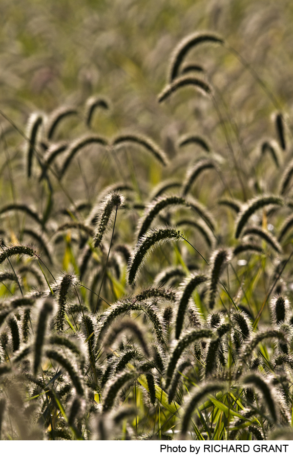
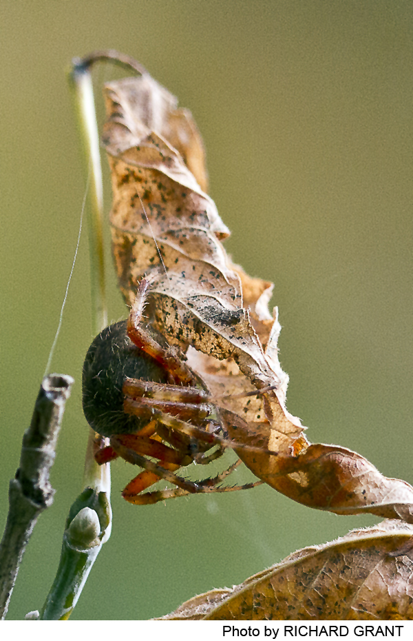
Photos
Videos
