Somerset
Somerset
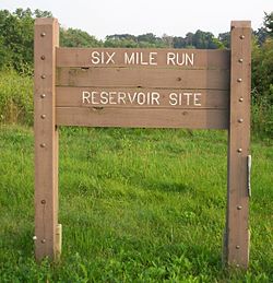
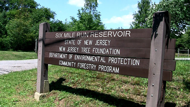
Six Mile Run
Somerset, NJ 08873


Last Updated: 06/09/2016
Overview of Selected Trail
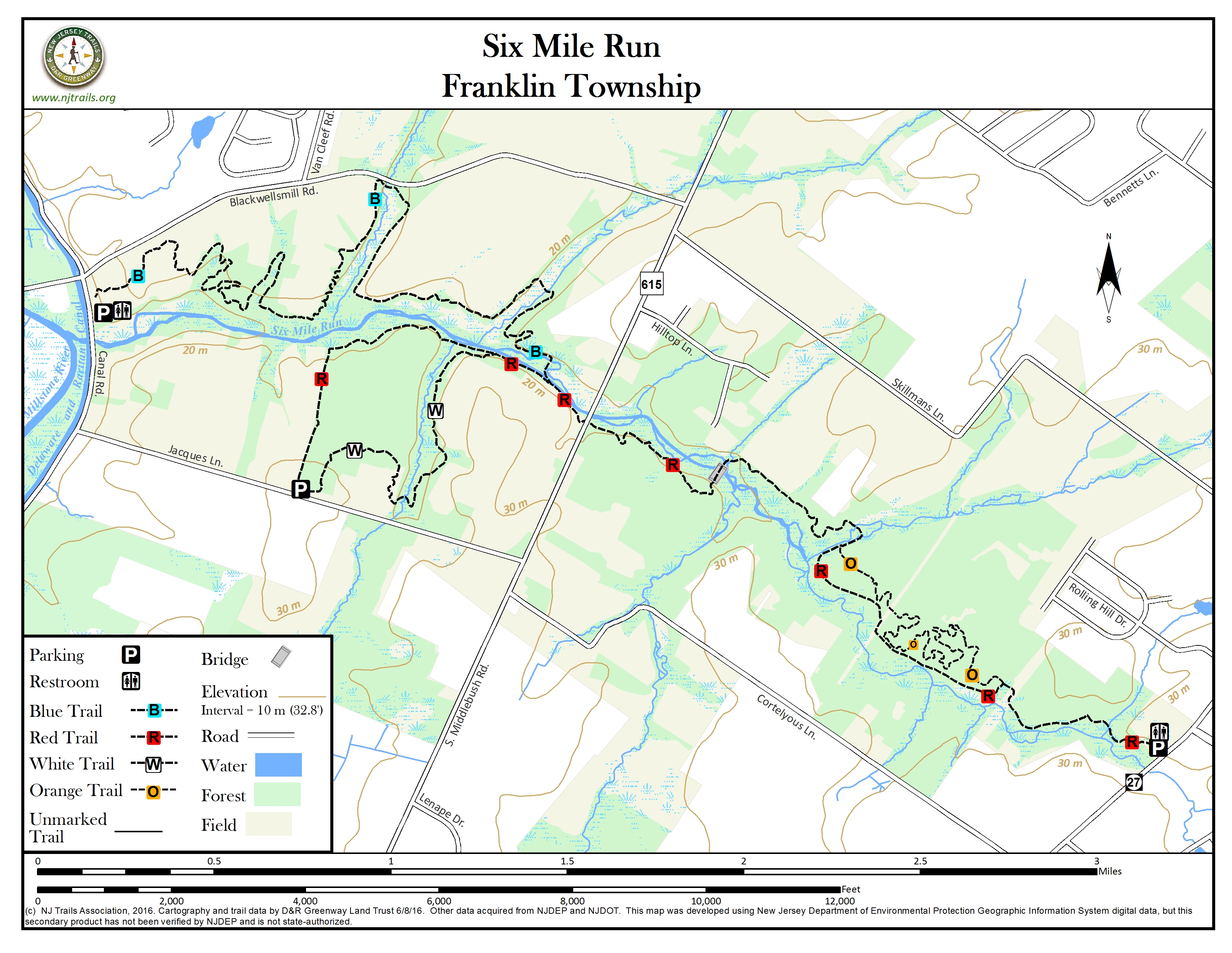
This 3,037 acre tract of state land, part of D&R Canal State Park, is often referred to as the “Six Mile Run Reservoir site,” but there is no reservoir! It offers pleasant walking trails through forest, along streams, and across old farm fields.
-
-
Distance:
Total of about 6.2 miles of trail. The major loop using the red and blue trails is about 5.3 miles.
Time:
30 minutes for Orange Trail; 2-3 hours for Red/Blue Trail Loop
Markings:
Trail blazes in the color of the named trail.
Trail Usage:
Walking/Hiking, Horseback Riding
Elevation:
Minimal – some small hills along Red Trail
Difficulty:
Easy to Moderate – On Red/Blue Loop there is no bridge crossing Six Mile Run
Parking:
Parking lot is located at 625 Canal Road, Somerset, NJ.
Visit D&R Canal State Park for more information.
Tips:
Maps are available at the park office. There is no horseback riding permitted on the Orange Trail.
Amenities:
Trails are open from sunrise to sunset.
Alcoholic beverages are not permitted.
Pets must be leashed at all times.
Please obey trail use postings.
Hunting is permitted in season, but consult with the Somerset County Park Service prior to visit.Directions:
The park office is located at Blackwells Mills.
From Somerville:
Take Route 206 South to Hillsborough to Route 514 East (Amwell Road). Turn right onto Route 533 south (Millstone River Road). Continue 2.1 miles and turn left across bridge onto Blackwells Mills Road. Cross the Canal Bridge and turn right onto Canal Road. The office is the second structure on left. Parking is adjacent to the office.
From Princeton:
Take Route 206 North to Route 518. Turn right onto Route 518 East, through Rocky Hill. Cross over the Millstone River and D&R Canal and turn left at traffic light onto Canal Road. Follow Canal Road to the end. Turn left onto Suydam Road. Suydam Road will curve to the right and become Canal Road again. Watch for D&R Canal State Park signs on your right. Office and parking area are on the right before Blackwells Mills Road.
-
Blue Trail – Hiking, Biking and Horse
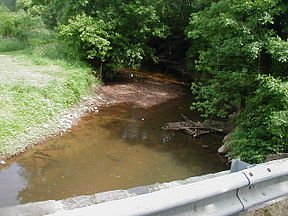
This 3.8 mile trail begins at the Canal Road parking area and follows the forest edge going east, occasionally entering the woods, marked by blue blazes on trees or posts. Horseback riding is permitted on the majority of the trail. Please pay attention to the trail use signs posted along the path. The trail includes several stream crossings, but they should not present problems. If the crossing just below Blackwells Mills Road presents high water conditions, walkers can use the road bridge to cross, and boardwalks suffice for the second crossing further east. There is a bridge to cross Six Mile Run. The Blue trail connects with the Red trail, which then connects going east to the Orange Trail and going west to the Jacques Lane parking.Red Trail – Hiking Only
The 1.5 mile trail runs from the Jacques Lane parking lot to Six Mile Run and then east (upstream) to the parking area on Route 27. It traverses open fields, young cedar groves, and upland forests. It is the most rugged of the three trails, containing some steep slopes and intermittent stream crossings. Please Note: The blazes intended for west-bound users may be confusing, because some markings show arrows. At the bend in the Red Trail where it turns south towards Jacques Lane, you may also see old blazes continuing west downstream; that old route goes out to Canal Road and hits the road south of the Canal Road parking area. This old route was “decommissioned” because it reaches the road at a blind spot.Orange Trail – Hiking, Biking and Horse
The .9 mile long trail passes through the lowland flood plain of Six Mile Run. After walking through a small field area, you will enter a heavily wooded area dominated by Pin Oaks, Box Elders and Ash trees. Watch for painted turtles basking on logs in the river and listen for the call of bullfrogs from the wet edges. This trail connects with the Red Trail in two places to form a 1-mile loop and a 2.5-mile loop. During wet season the trail will be muddy.White Trail – The white trail provides an alternate route from the Jacques Lane parking lot to Six Mile Run, where it joins the Red trail.
-
The combination of open fields, hardwood forests and floodplain make this site ideal for seeing a variety of flora and fauna. The edges of fields and forests are great havens for songbirds. Watch for signs of great horned owls and marsh hawks cruising over these fields at dawn and dusk. The Six Mile Run provides a great habitat for water loving birds including ducks, great blue heron and kingfishers. These wet areas harbor plants like skunk cabbage, golden ragwort and lesser celandine. The hardwood forests will come alive in early spring with may apples, cut-leaved toothwort and spring beauties. Wildlife sightings include woodchucks, red tail hawks, turkey vultures, red fox and many others.
Do you have information about this trail?
Click Here to contribute.
-
Six Mile Run connects to the D&R Canal State Park. For Information about the D&R Canal State Park go to D&R Canal State Park.
Do you have information about this trail?
Click Here to contribute.
-
Photos

Videos
