Mercer
Hopewell Township
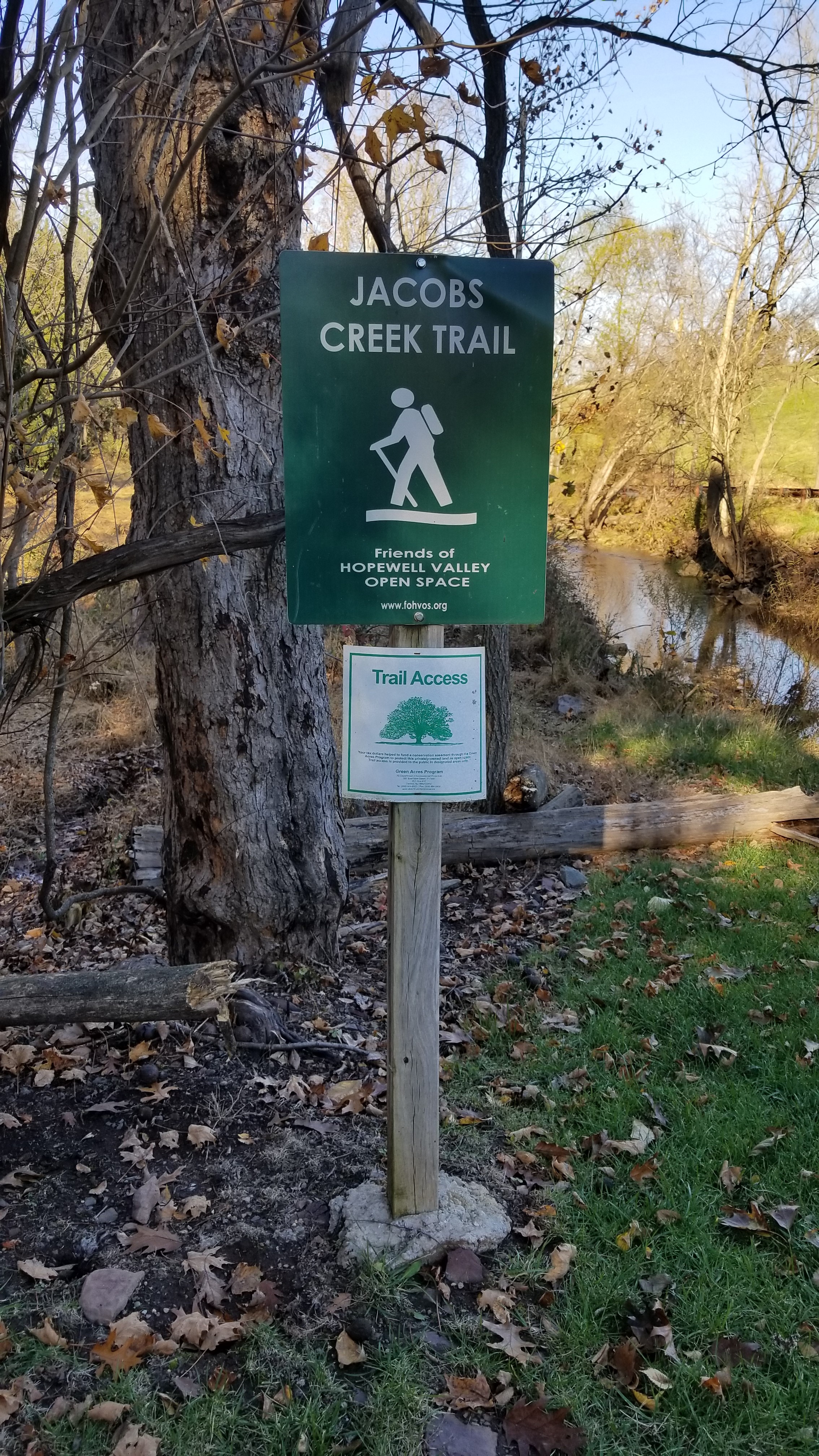
Jacob’s Creek Trail
Hopewell Township, NJ 08525

Last Updated: 08/19/2013
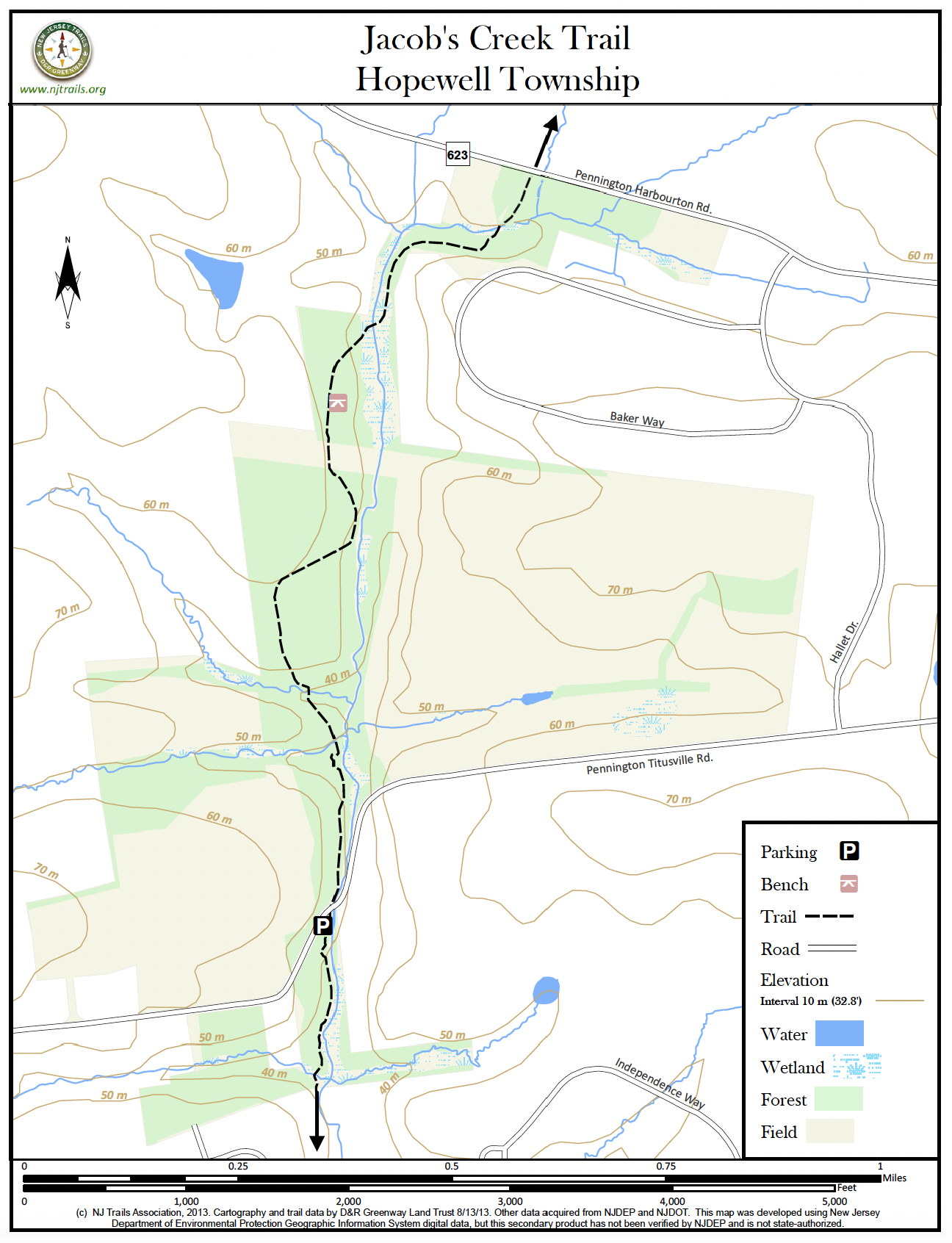
Overview of Selected Trail
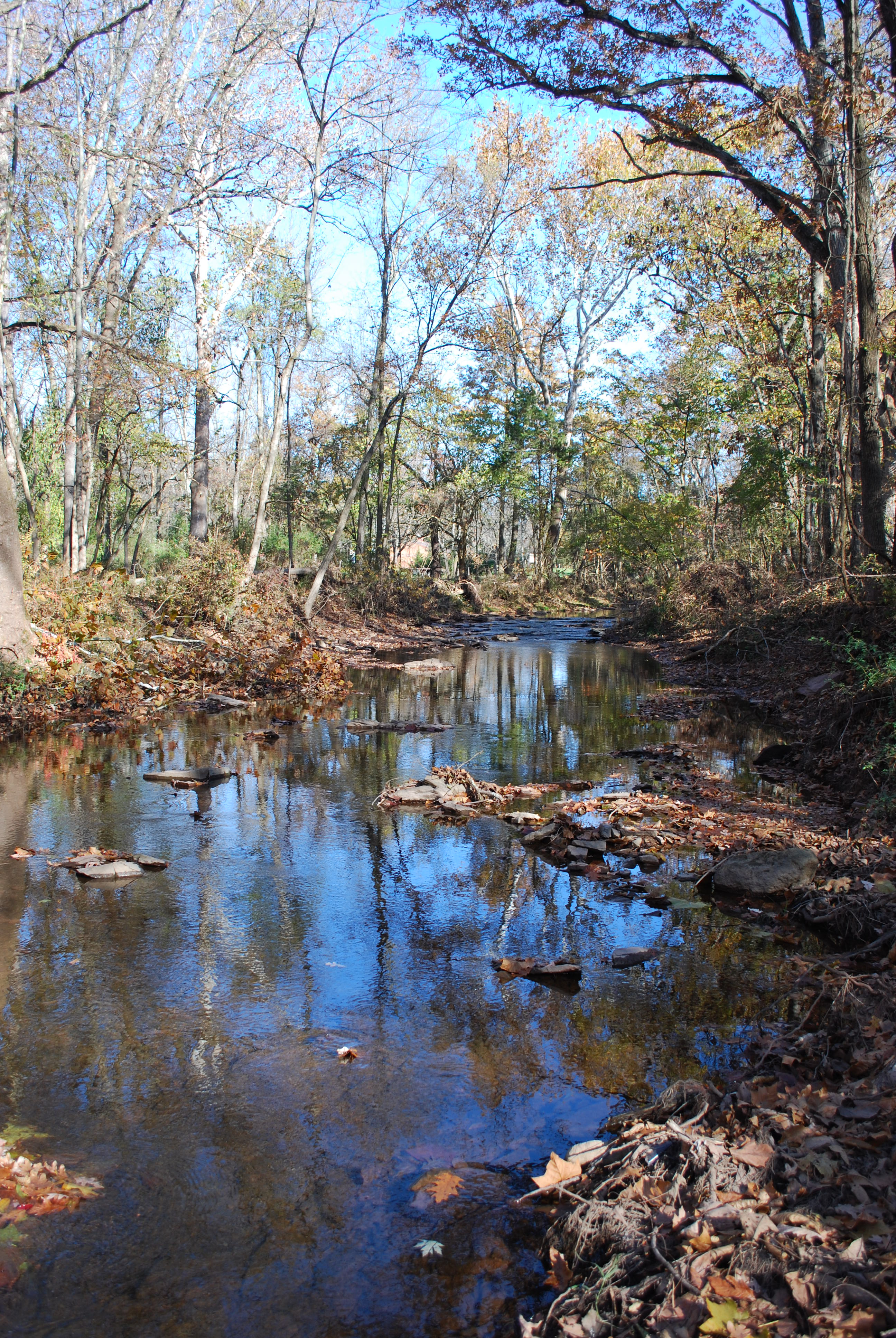
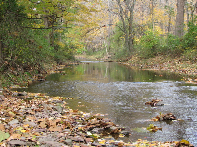
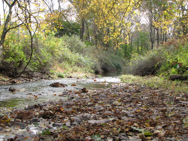
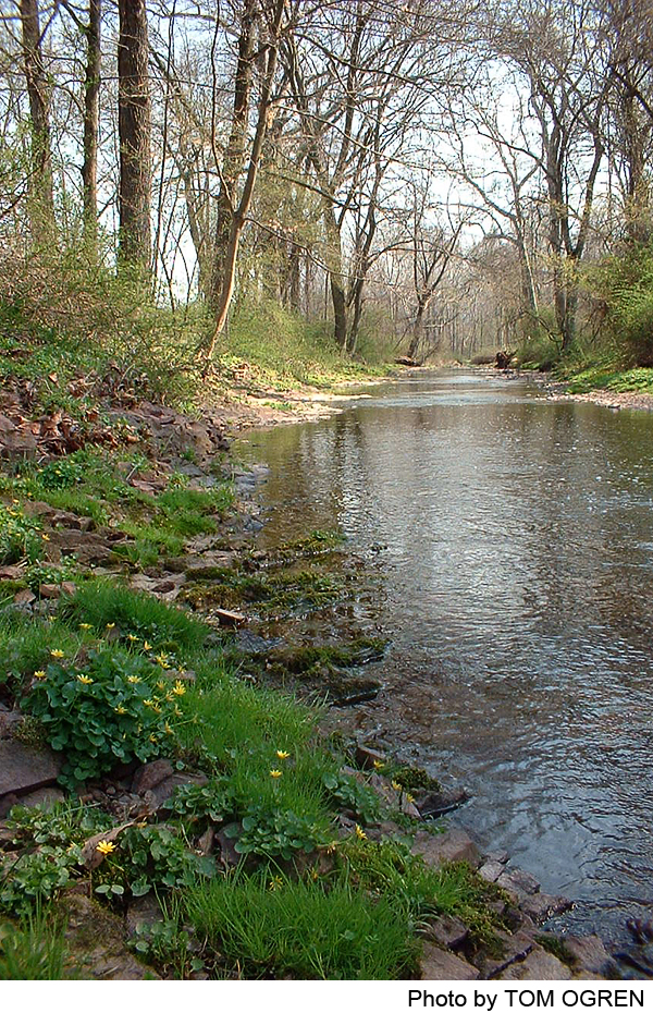
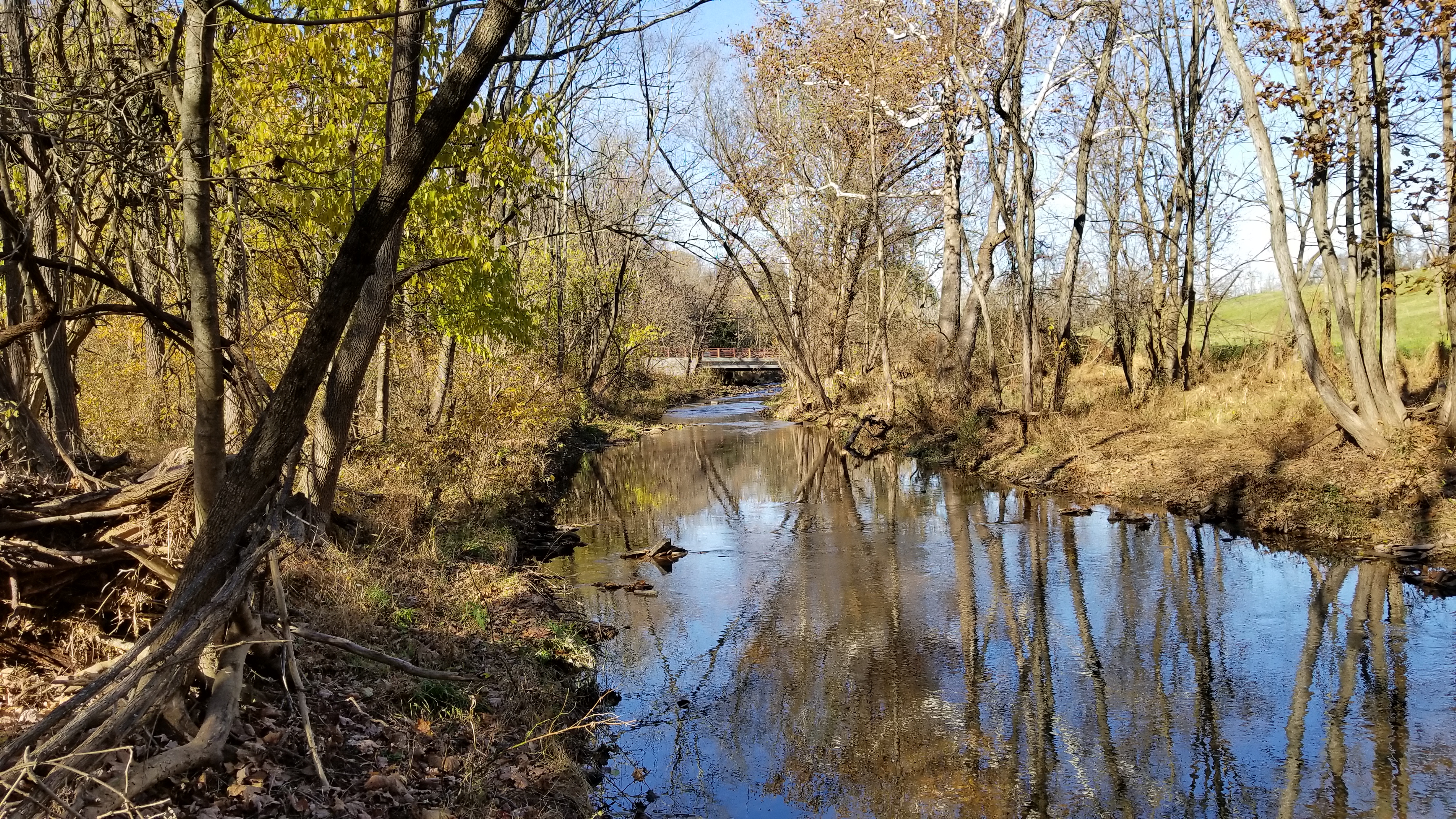
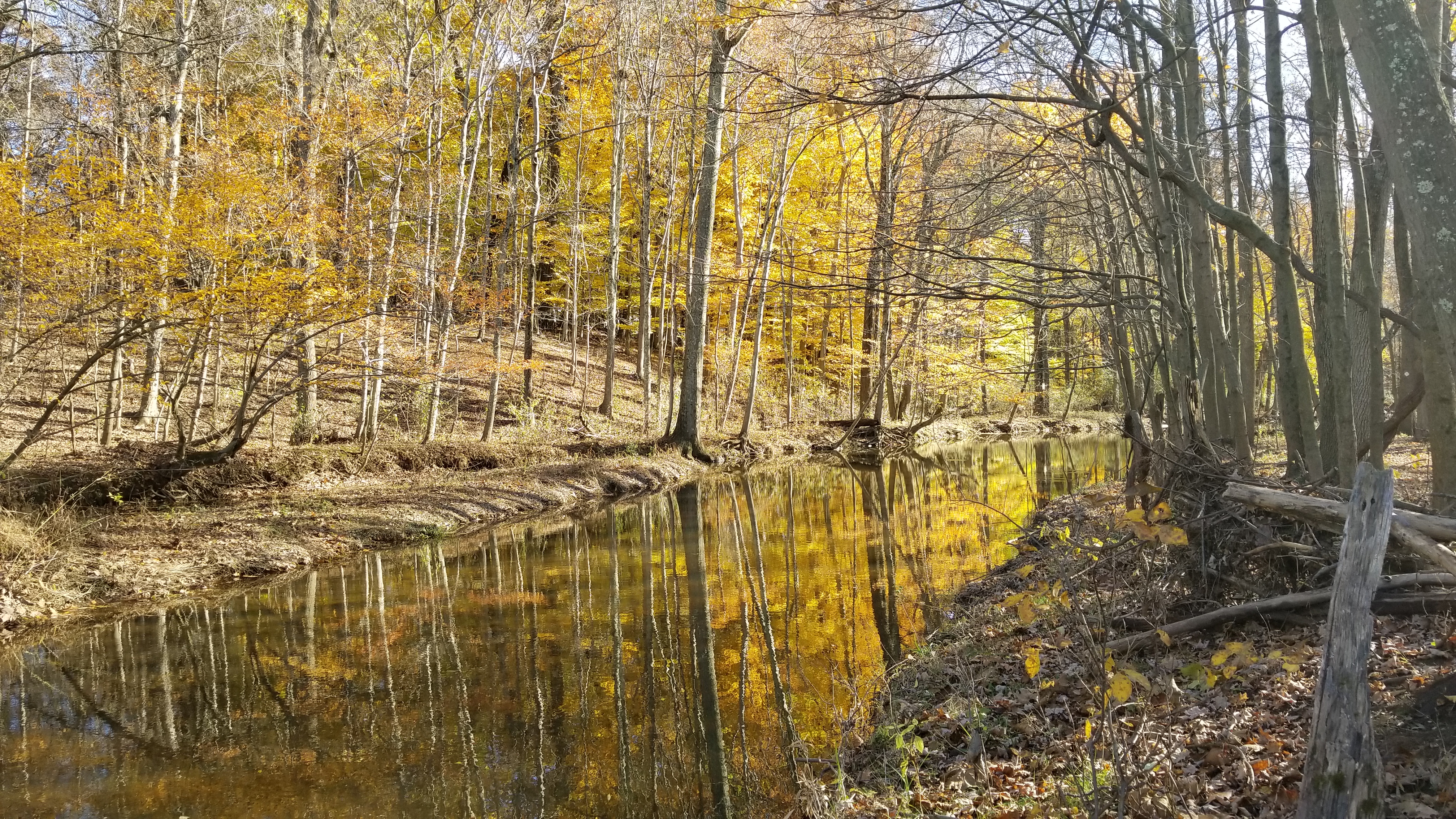
This trail offers scenic views of Jacobs Creek and a broad ravine with mature hardwoods at the northern end of the trail. The main trail crosses the Jacobs Creek and three small feeder streams. Of particular interest along the main trail is an old stone dam site. The southern spur of the trail closely follows the creek bank and offers a continuous view of the creek.
-
-
Distance:
1.3 miles north trail; .25 miles south trail
Time:
Allow 45 minutes each way for the main trail, and 10 minutes each way for the southern spur.
Markings:
Painted white blazes on trees
Trail Usage:
Walking and hiking
Elevation:
The terrain is mostly level with moderately steep climbs up the side of a ravine near the northern end of the main trail.
Difficulty:
Mostly easy, except for brief climbs.
Parking:
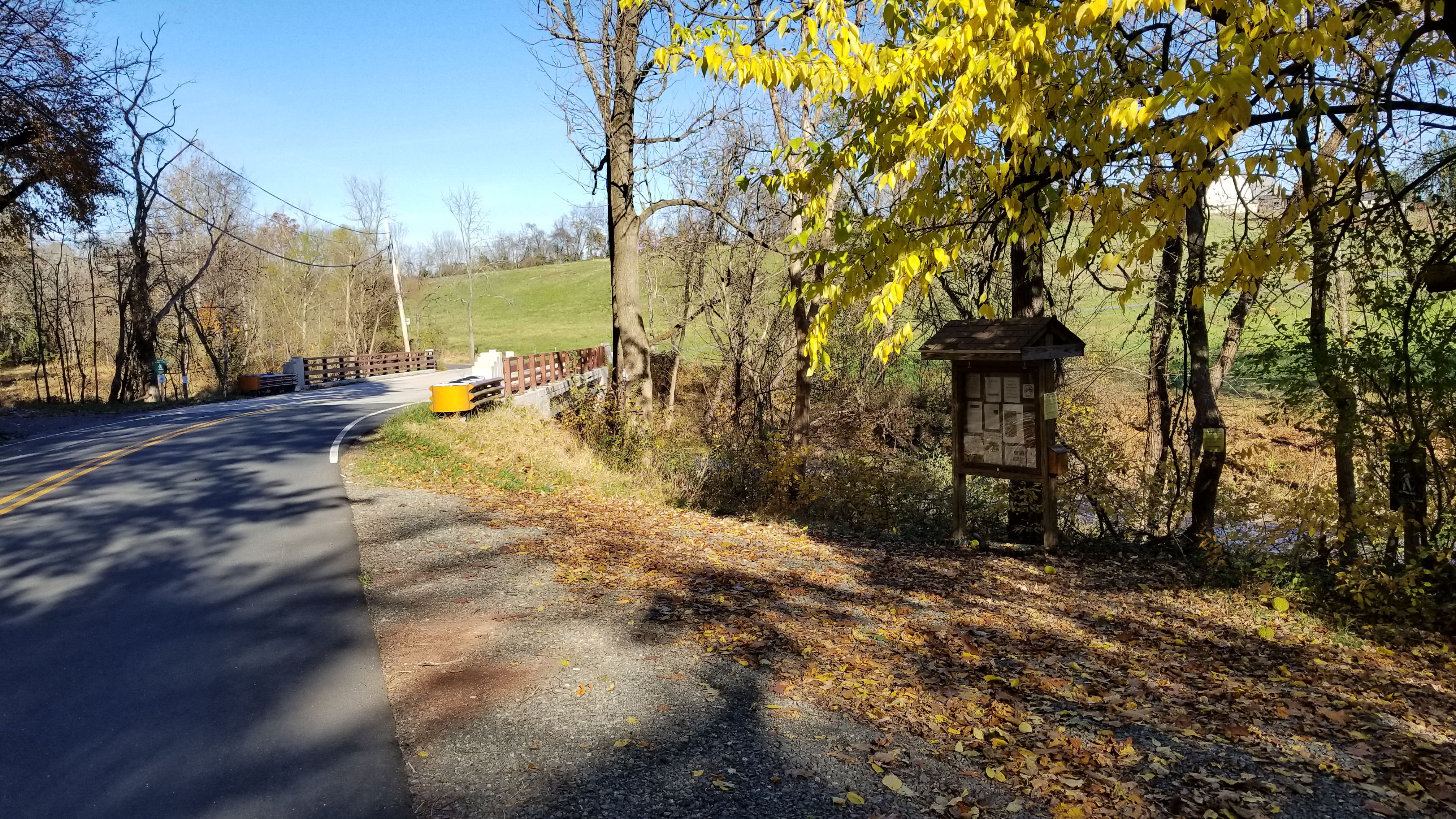
Parking for 3-4 cars is provided along Pennington-Titusville Road just west of the bridge over Jacob’s Creek, near the creek.
Tips:
High water soon after a major rain may prevent crossing the creek on stepping stones on the trail’s northern section. The trail itself stays dry. A boardwalk has been built to cross one area that becomes swampy in wet weather.
Amenities:
A kiosk provides trail information at the Pennington-Titusville Road parking area. A bench along the main trail provides a resting place, and informational signs on ecological topics are posted along the trail.
Directions:
Trail entrances on Pennington-Titusville Road are approximately three-quarters of a mile east of Bear Tavern Road Route 579) and 2.3 miles west of Route 31. The parking spot at the northern terminus on Pennington-Harbourton Road is .75 mile east of Bear Tavern Road (Route 579), and 2.1 miles west of Route 31.
-
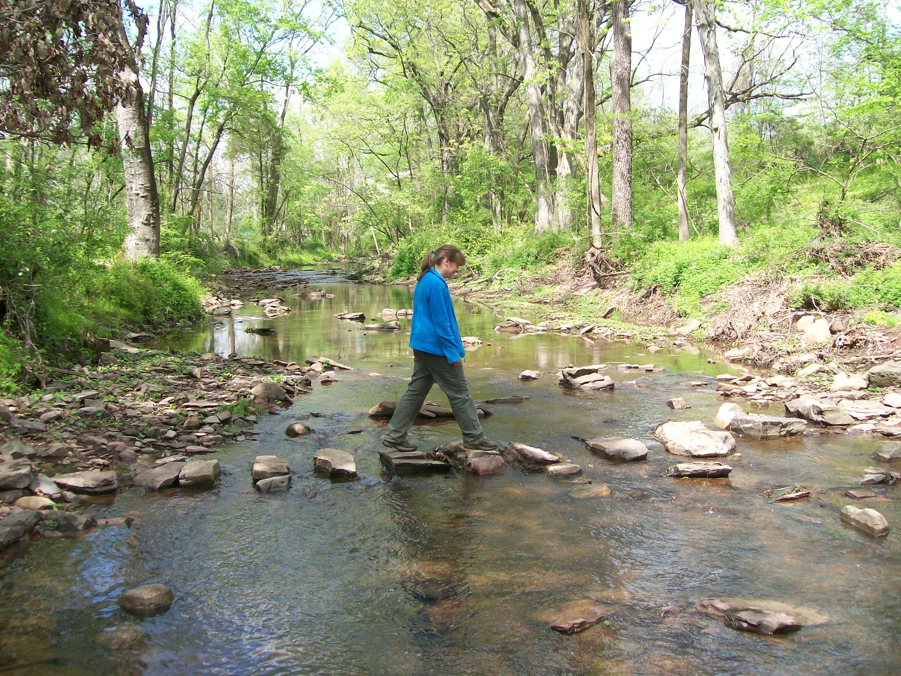
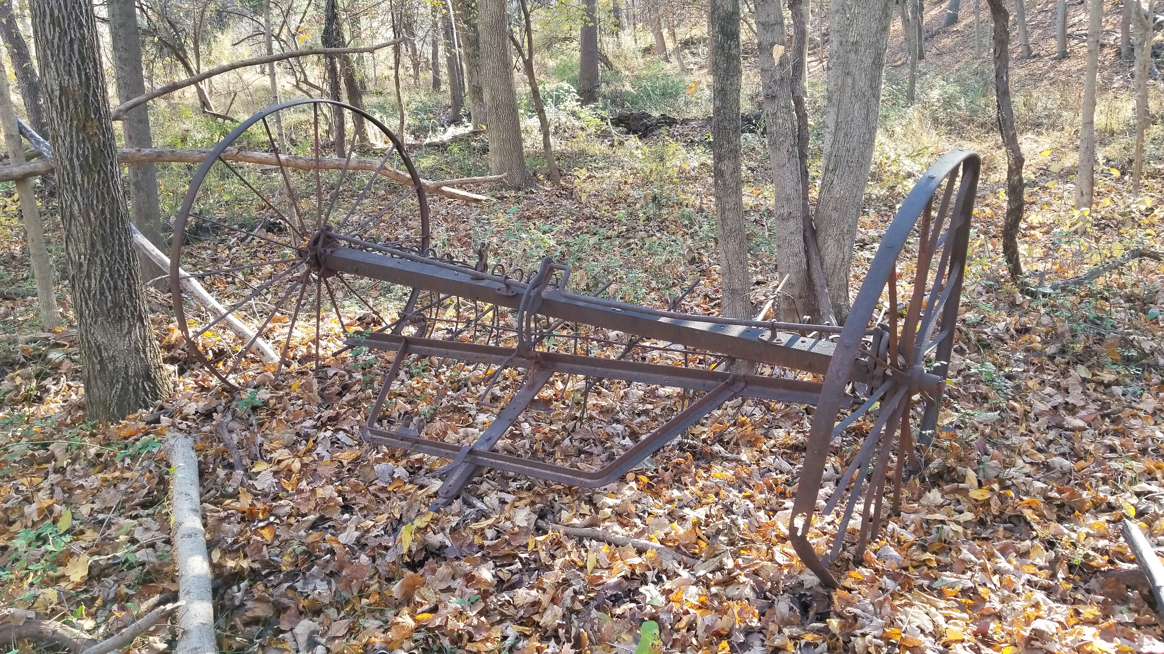
Main trail: Starting at Pennington-Titusville Road, the main trail traverses a flat along the creek, once farmed, as evidenced by old farm equipment along the trail. Near the end of the old field are two stands of large spruce trees, and then the remains of an old stone dam which once extended across Jacobs Creek. The force of rushing high water from Hurricane Irene in August, 2011, broke off part of the wall and scattered large stones downstream. Beyond the dam a feeder stream descends to the Jacobs Creek, and above it rises a small hill with an unusual rock outcropping which may have provided stone for the nearby dam. The trail continues over another feeder stream and through an Eastern Red Cedar stand on high ground above the creek. It then meanders through a young wooded area, dips down to the creek, and then heads up a ridge. Continuing on the ridge, the trail crosses a cleared area for electric transmission lines and enters a forested area high up on the side of a large ravine. With no undergrowth in the area, hikers can enjoy unrestricted views down the ravine’s steep slope–perhaps from a well-placed bench. The trail eventually reaches the low point of the ravine where a boardwalk takes hikers through a swampy area. A short distance ahead, large stepping stones provide an easy crossing of the creek (except in high water!). On the east side of the creek, the trail continues through a young wooded area skirting a residential development, crosses another tributary of Jacobs Creek, and a short distance further reaches Pennington-Harbourton Road.
Southern Spur: This quarter-mile trail hugs the banks of Jacobs Creek, and offers close up views of rapids as well as broad expanses of the creek. Although the trail goes through a flat wooded floodplain, it is well drained and remains walkable even after a rainfall. Near the end of the trail, it crosses a tributary of Jacobs Creek, and ends shortly thereafter at the edge of the main creek. The trail may in the future continue to the other side of the creek as part of an extension of the trail to Alliger Park.
-
The diversity of the landscapes along the trail, including the creek, moist bottomlands, drier bluffs, and open areas, supports a variety of plants and animals. Look for signs of deer, fox, amphibians, reptiles and many birds including Carolina wren, woodpeckers, red-eyed vireo and the Baltimore oriole. The main trail features groves of mature evergreen trees, Eastern Red Cedar stands, and a hardwood forest with maples, hickories, ashes and oaks, including the largest Red Oak in the Hopewell Valley.
Do you have information about this trail?
Click Here to contribute.
-
Most of the main trail is on land which part of the Bacha Farm on Pennington-Titusville Road. This land was preserved and opened to the public by a conservation easement acquired by Friends of Hopewell Valley Open Space (FoHVOS) in 1998. Other sections of the trail are on land which had been part of other farms. When a large farm at the northern end became a residential development in the 1990’s, the developer (Nexus Properties) donated the non-developable land along Jacobs Creek to FoHVOS. Trail easements at either end of the main trail were donated to FoHVOS in 2011 and allowed for development of the trail the entire distance from Pennington-Titusville Road to Pennington-Harbourton Road.
The remains of the old stone dam can be seen along the main trail a few hundred yards north Pennington-Titusville Road. According to Richard Hunter, a local archeologist and co-author of Hopewell: An Historical Geography, the dam was probably constructed around the turn of the 20th century to form a pond for ice harvesting or flood control. There is no historic map or record to indicate that the dam was constructed for a mill, according to Mr. Hunter.
The southern spur of the trail is on land which was subdivided by the adjacent property owner (Franz) and sold to FoHVOS in 2000. The land may have been clear cut at some point since the trees are relatively young.
Do you have information about this trail?
Click Here to contribute.
-
Photos
Videos
