Mercer
Pennington
Heritage Preserve
Pennington, NJ 08534


Last Updated: 08/20/2013
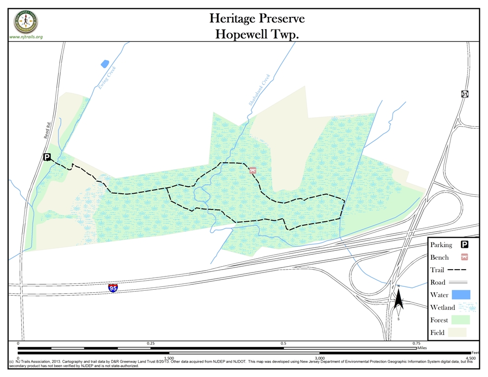
Overview of Selected Trail
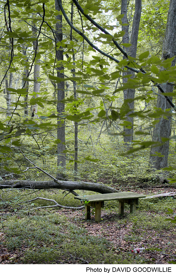
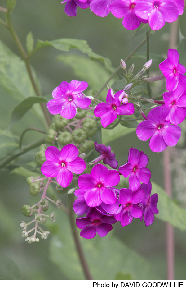
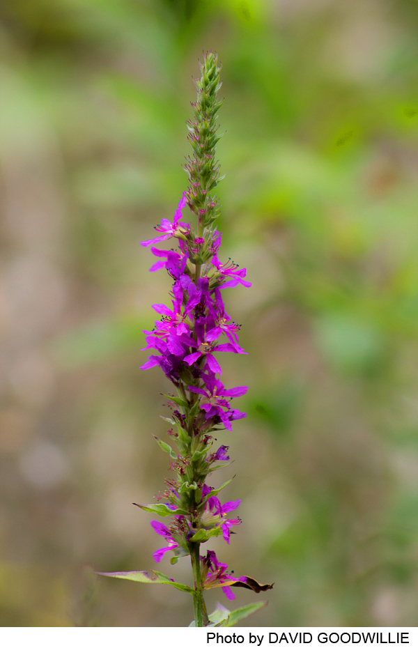
This trail proceeds through a young red maple forest and a mature beech bottomland forest. This preserve has outstanding spring wildflowers. There are a number of vernal pools, small streams and old farm drainage ways as well as a surprising diversity of woods. The property borders Interstate 95, so the traffic makes a constant background noise. Listen for sparrows and killdeer in the meadows and for scarlet tanager, veeries and woodthrush in the forest. As the trail meanders through wetland forest, boots are recommended in the spring and after rain.
-
-
Distance:
1.5 miles
Time:
1 hour
Markings:
Painted white diamonds on trees
Trail Usage:
Walking/Hiking, Dogs permitted on leash
Elevation:
Flat
Difficulty:
Easy
Parking:
At present, there is parking for 4 or 5 cars on the grass on either side of the dirt driveway.
Tips:
Convenient to other trails also published on the NJ Trails Association website, such as Mercer County Northwest Park and Curlis Lake Woods.
Amenities:
This preserve is convenient to Route 95 travelers coming into and leaving New Jersey.
Directions:
From Route 31:
On the Pennington Circle at the circle south of Pennington, take Route 546 west toward Pennsylvania. Turn left (south) onto Reed Road after .4 miles. Go 1.0 miles and turn left into the dirt farm lane. (This is just after the mailbox 1559 on the right).
The Heritage Preserve is just north of the entrance to Ash’s Nursery and UHaul. From the north you will pass a water retention basin. You will see an open grassy area and a small white Friends of Hopewell Valley Open Space sign. Turn left into the farm road after the basin.
-
The beginning of the trail passes through a small belt of black walnut trees at a former home site, a small area of five foot high (in the autumn) jewelweed, golden rod, pokeweed and dock, and then a managed meadow. The trail then leaves the meadow and travels through forest with trees of different species and ages. Follow the white diamond trail markers painted on the trees to stay on the trail as you will cross several old dirt roads. Two white diamonds mean that you should look for the trail to be taking a turn.
t the start, the woods consist of young red maple, pin oak, black oak, some red oak and shagbark hickory. Where the trail forks, look for large white oak and beech trees. This area also has a good understory of spice bush and other shrubs valued by wildlife. As the trail crosses several little streams the forest matures. Look for beech drops under the beech trees in the summer. When the trail veers next to the highway it passes through a thicket of very young maple, oak and sweet gum. All through the woods look for pools, large patches of moss and ferns and areas where there is no undergrowth under the trees. When you find a sudden island of grasses and bushes, look up. You will see a hole in the canopy which allows sunlight to hit the forest floor.
-
The land of the Heritage Preserve was farmed for many, perhaps hundreds of years. The 1930 aerial photographs show that a little over a third of the land was forested and perhaps used as a wood lot. As you walk the trail you can easily see the old wood lot by the large mature trees. About half of the rest of property in 1930 was fields for crops and the remainder was pasture. It was a common practice at the time for a farm to have pastures for cattle and some fields to raise feed such as corn and soybeans. Aside from 2 hay fields, farming ended in the late 1970s. At that time the former fields and pastures began to succeed, first to shrub land and then to forest. Today these 30 year old forests are primarily red maple with some pin oak, black oak and hickory.
Listen for sparrows and killdeer in the meadows and for scarlet tanager, veeries and woodthrush in the forest.
Do you have information about this trail?
Click Here to contribute.
-
The land was donated to the Heritage Conservancy by the estate of Ms. Amy Atchley in 2004. It was preserved on September 10, 2004 by a grant of conservation easement and restrictive covenants. Friends of Hopewell Valley Open Space purchased the preserve in 2008. To learn more about other preserved lands visit: www.fohvos.org.
Do you have information about this trail?
Click Here to contribute.
-
Photos
Videos

