Mercer
Hopewell Township
Fiddler’s Creek Preserve
Hopewell Township, NJ 08525

Last Updated: 09/19/2013
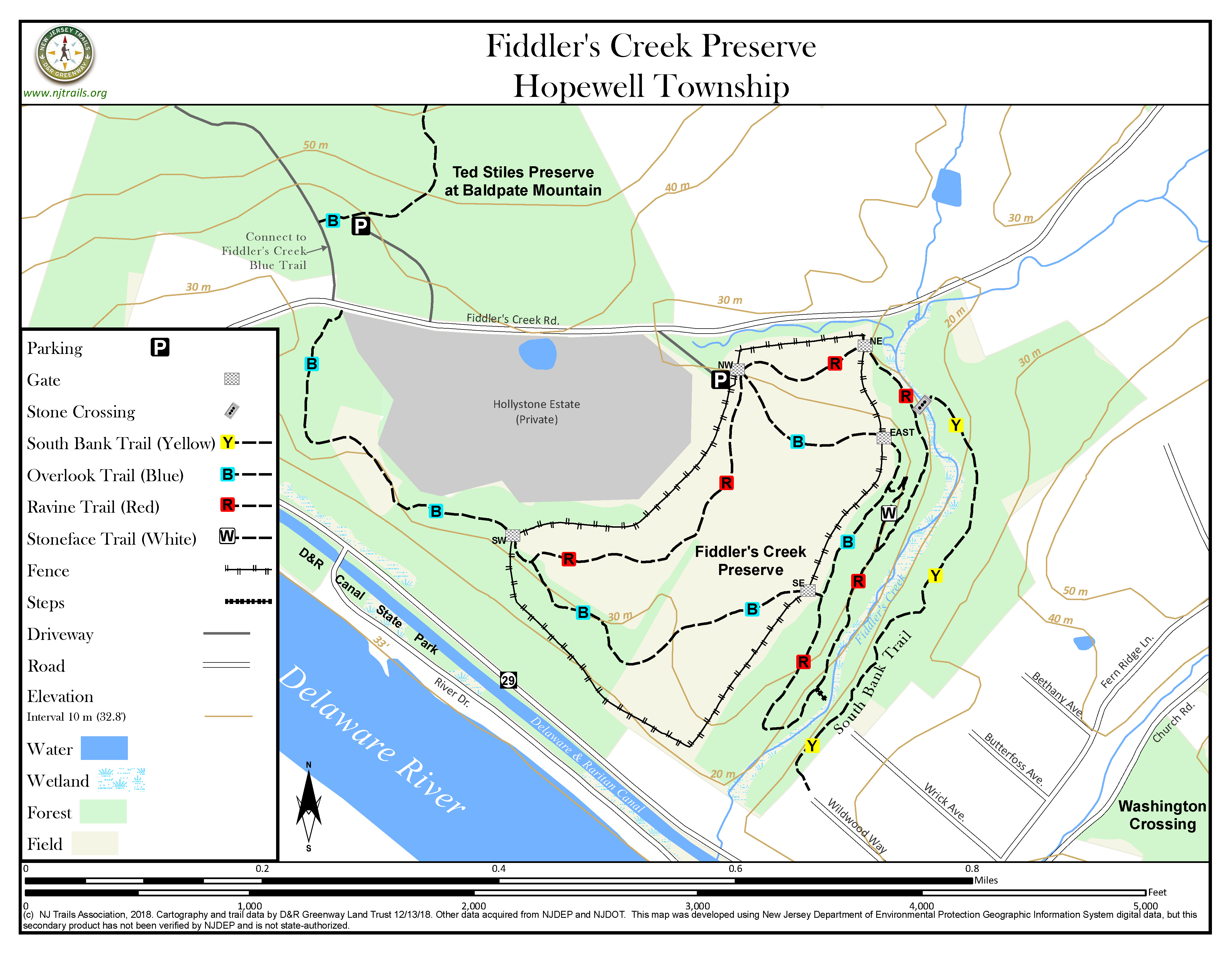
Overview of Selected Trail
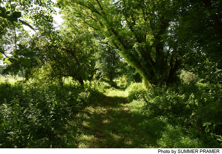
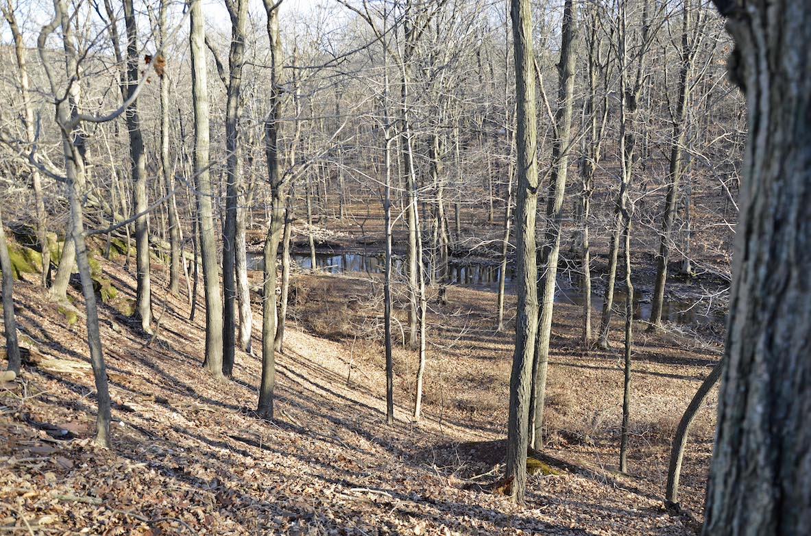
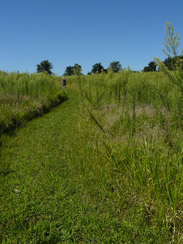
This 121-acre complement to the larger Baldpate Preserve offers broad views of the Baldpate Mountain Ridge, stunning views down into the Fiddler’s Creek ravine from the north and south banks, idyllic walking along the creek at the bottom of the ravine, and links to the industrial past of the Hopewell Valley a century and more old. The terrain falls in three categories: (1) scrub woods and open areas along the western side of the property; (2) a central 40-acre area of open fields (undergoing reforestation) extending northeast from those scrub woods to Fiddler’s Creek Road; and (3) the Fiddler’s Creek Ravine on the east side of the preserve, running from Fiddler’s Creek Road roughly south towards the Delaware River. The open field area is surrounded by a fence to protect young trees from deer, and is crossed by four trail segments, with gates at five points to let walkers through.
-
-
Distance:
Total trail network is about 3 miles.
Time:
The longest loop walk can be done at a leisurely pace in an hour.
Markings:
Trails are marked with square markers (blue, red, white, and yellow) on trees, and in open areas with the same markers on wooden posts.
Trail Usage:
Walkers only. Dogs must be on leash.
Elevation:
Elevations on this preserve span a modest range of about 50 – 125 feet above sea level, but nevertheless offers considerable drama where the terrain falls sharply from the edges of the open fields into the Fiddler’s Creek Ravine, totally invisible to those who stay in their cars along Fiddler’s Creek Road or Route 29.
Difficulty:
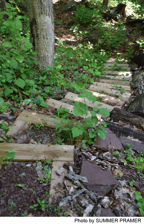
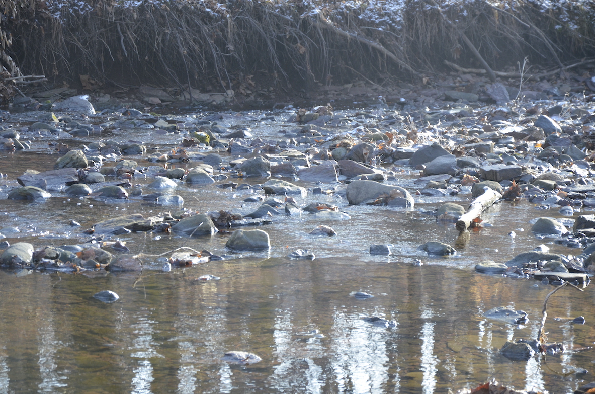
Trails crossing the open fields, where in recent years trees were planted as part of a reforestation project, are quite level. To the south of the reforestation area trails descend about 70 feet into the Fiddler’s Creek Ravine. At steep places there are steps to negotiate, and the Stoneface trail should be avoided by people with poor balance, because of several steep and winding stone and timber stairways. The South Bank Trail is reached by crossing the creek on stepping stones, which may be unsteady or even missing if storms and resulting floods have swept them downstream.
Parking:
Parking is available at the large lot at the base of the Ted Stiles Preserve at Baldpate Mountain, on the north side of Fiddler’s Creek Road. Secondary parking is also available on the south side of Fiddler’s Creek Road, with an entrance on a dirt driveway about .2 mile east of the entrance to the Baldpate Preserve parking lot. This entrance is marked by a sign facing the road, indicating “Hiking Trails.”
Tips:
Entering the preserve from Fiddler’s Creek Road across from the Baldpate parking lot, walkers will pass through an open area where a path has been cleared and mowed through dense vegetation. Among the plants growing along the path are stinging nettles; if you brush bare skin against their leaves you will get a strong (but short-lasting) sense of why the plant is so named.
Walkers should always stay on the trails, particularly on this preserve. Parts of the Ravine and Overlook Trails skirt very steep slopes; exercise caution. Walkers should avoid descending from the Ravine Trail to the creek except where stone steps have been provided; in other places, the bank is steep and unstable.
Do not attempt to cross Fiddler’s Creek to the South Bank Trail if the water is high and covers the stepping stones.
Amenities:
None.
Directions:
From the south: Take Exit 1 north from I-95, towards Lambertville on Route 29. After 4.6 miles, turn right on Fiddler’s Creek Road, and after a quarter of a mile turn left into the Baldpate Preserve parking lot.
From Lambertville: From the intersection of Route 29 and Route 518, follow Route 29 south for 4.8 miles, and turn left on Fiddler’s Creek Road, to the Baldpate parking lot just a quarter of a mile from Route 29.
From Pennington: Go west on Delaware Avenue (from Route 31 at the light at the Pennington Market). Continue for 3.0 miles, first straight, then through several twisting sections. At the stop sign on Bear Tavern Road (Route 579), turn right. Take the first left after .4 mile onto Church Road. At .75 mile in on Church Road, turn right and follow Fiddler’s Creek Road 1.3 miles to the main Baldpate Mountain Preserve parking lot on your right. Parking on the south side of Fiddler’s Creek is reached by a dirt driveway at a point .2 mile before the main parking lot, about 1.1 miles from Church Road.
-
The Fiddler’s Creek Preserve offers beautiful short walks that can also be combined with walks on Baldpate Mountain or Washington Crossing State Park for longer hikes. It consists of four trails that offer walks of different lengths.
The Overlook Trail (blue) begins on Fiddler’s Creek Road opposite the lower end of the driveway that climbs up Baldpate Mountain. From the Baldpate parking lot’s western end, take the short path west to the old driveway that goes up Baldpate Mountain, and go down the driveway. Look across Fiddler’s Creek Road and slightly uphill to find the trail entrance marked in blue, crossing (carefully!) and then clambering up the bank to the start of the trail. The trail winds alternately through open grassy areas and scrub woodland (with traffic sounds from Route 29 still audible for some of the way), and emerges at the Southwest Gate entrance to the reforestation area, fenced to protect the emerging woods from deer. At an intersection where the Ravine Trail (red) heads off to the left, the Overlook Trail continues ahead, curving through open areas to its exit from the reforestation area at the Southeast Gate. From here the trail goes left (north) along the top of the ravine, with nice views down into the ravine, passing the Stoneface Trail and continuing to the East Gate and back into the reforestation area, which it crosses in a broad curve to the end of the trail at the Northwestern Gate–outside of which parking is available. From here it is a .4 mile walk to the left along Fiddler’s Creek Road back to the Baldpate parking lot.
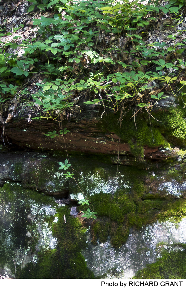
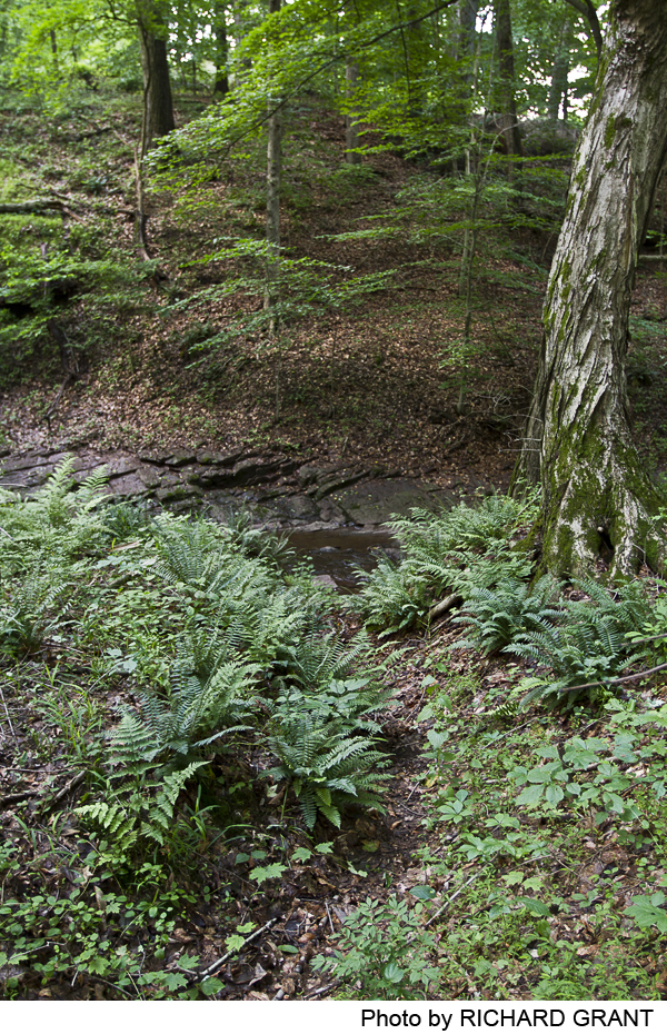
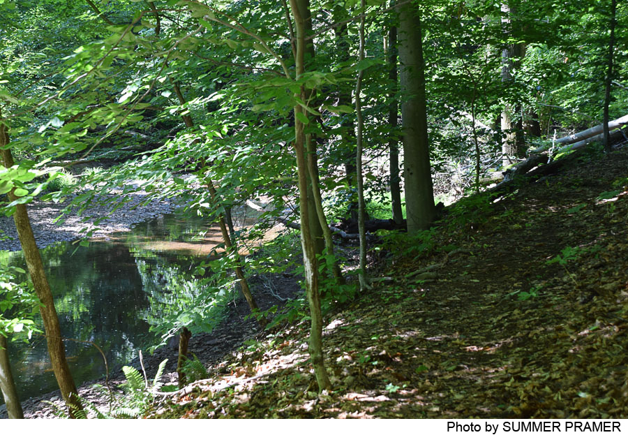
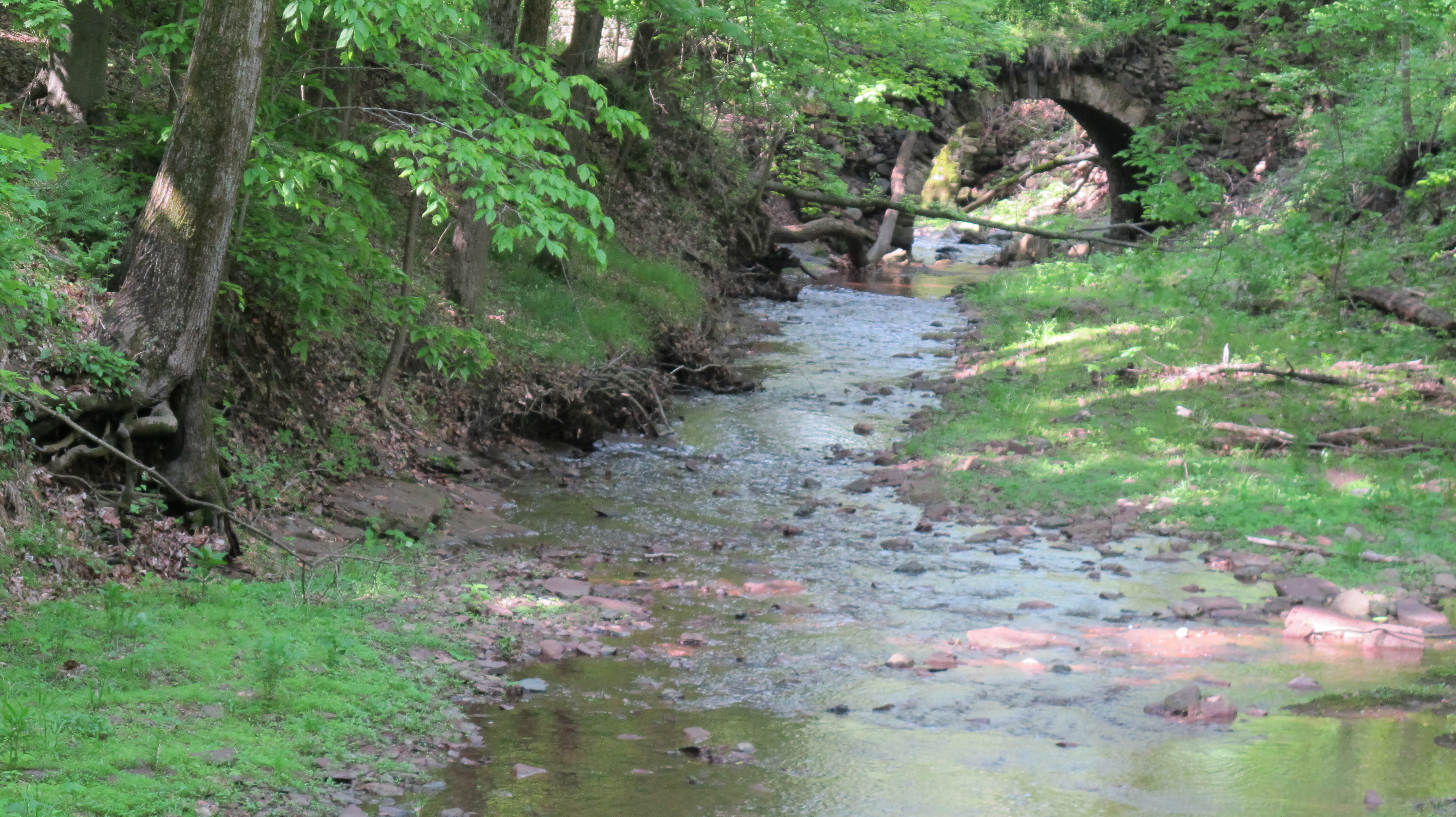
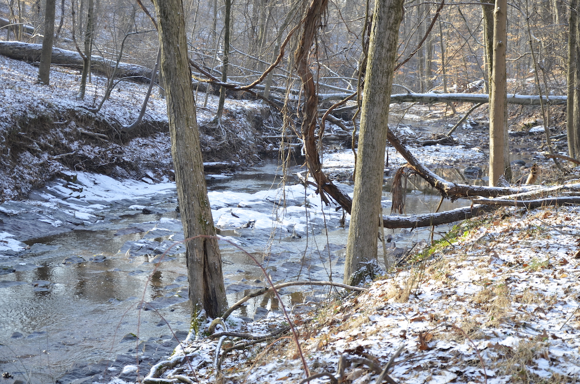
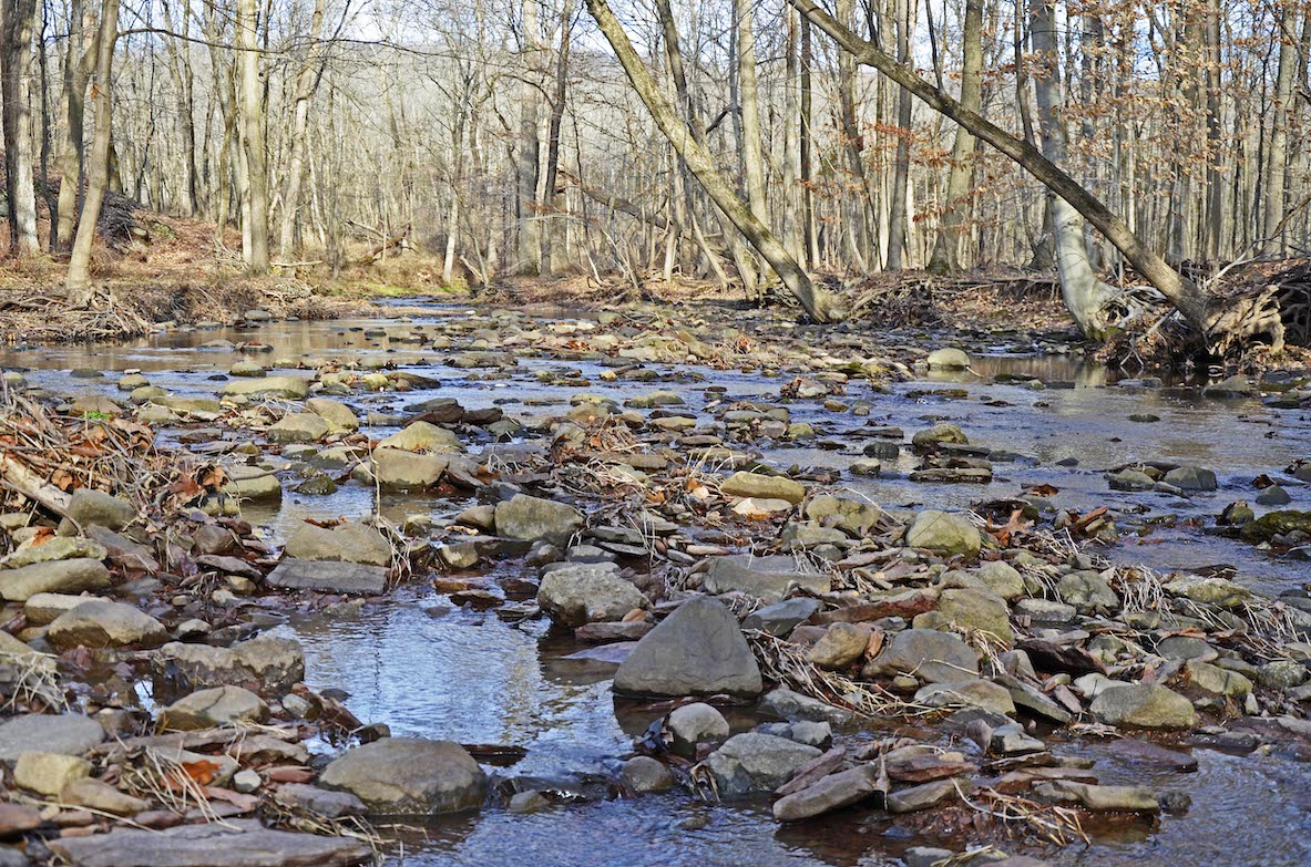
The Ravine Trail (red) offers very pleasant creek-side walking. It begins where the Overlook Trail emerges from the reforestation area, heading to the right (west), dropping gently towards the creek, then turning back east and following the south bank of the creek upstream. Where the trail descends to the creek, look downstream and notice the arch of stonework that was part of a 19th-century mill complex. Heading upstream, note the stone stairway down to the creek bed for those who want to inspect the creek’s pools and stony south bank more closely. Continuing upstream, the trail crosses a short catwalk-style bridge where the shelf on which the trail runs narrows sharply. The Stoneface Trail diverges up hill, but the Ravine Trail continues upstream, passing the start of the South Bank Trail where it crosses Fiddler’s Creek. The Ravine Trail then climbs out of the ravine and enters the reforestation area through the Northeast Gate. It crosses this open area, passes the eastern end of the Overlook Trail and the Northwest Gate, and continues across the open area, ending at its intersection with the Overlook Trail near the gate at the western end of the preserve.
The Stoneface Trail (white) provides a short but intriguing link between the Ravine and Overlook Trails, and can be used to shorten the loop created by the Overlook and Ravine Trails. From the Ravine Trail down by the creek, this trail climbs diagonally up the south side of the ravine. The path winds past several stone escarpments, taking walkers over several steep wooden timber stairways and stone steps to the top of the ravine, where it joins the Overlook Trail.
The South Bank Trail (yellow) climbs from Fiddler’s Creek, contouring higher and higher as it follows the creek valley towards the Delaware River. Dramatic views unfold as the trail climbs. Near the southernmost point in the preserve it turns away from the creek and reaches the end of Wildwood Way, a short street that ends at Church Road. Many walkers will just return to the stream crossing and other options in Fiddler’s Creek Preserve. Ambitious hikers can cross Church Road, cross the parking lot of the Titusville United Methodist Church (permission has been granted), and find a small path entering Washington Crossing State Park. A loop walk of about 5.5 miles can be made by following trails in the State Park to the intersection of Church Road and Brick Road, and then walking the length of the Baldpate Preserve back to the starting point. This same loop, of course, can also be walked with a start at the Brick Road parking area or the main Baldpate Preserve parking area.
-
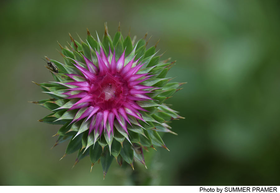
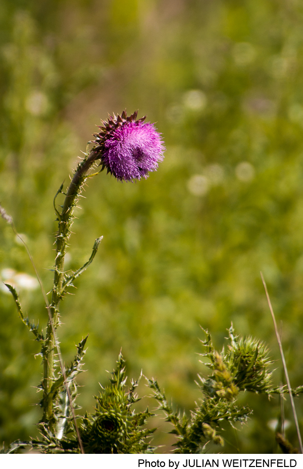
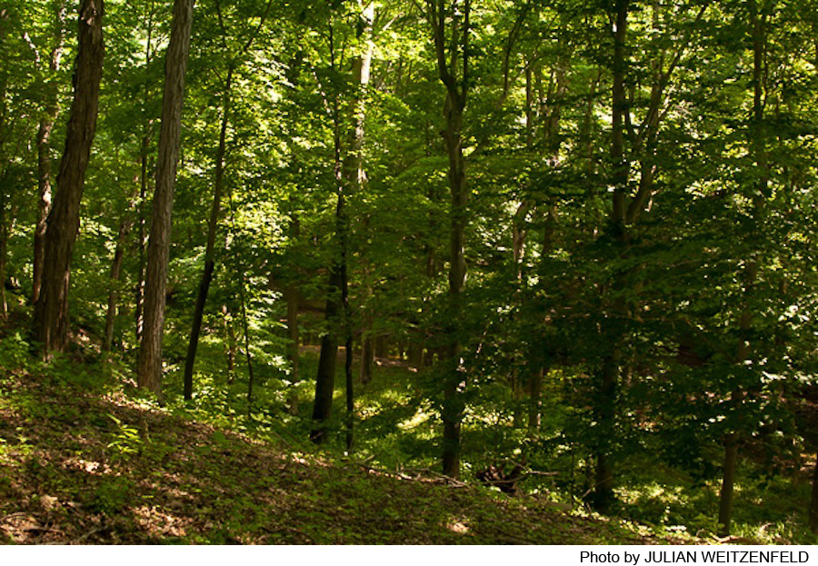
The slopes of the Fiddler’s Creek ravine abound with trout lilies, spring beauties and other wildflowers in April and May. Towering above them are magnificent tulip poplars, oaks, and beech.
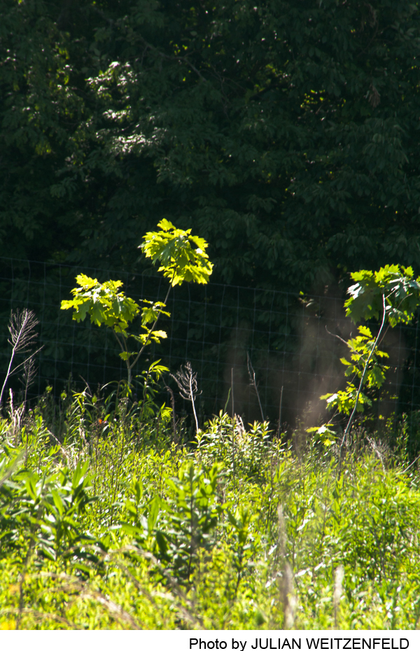
The open fields extending northwest from the top of the ravine are the focus of a reforestation project managed jointly by the Mercer County Parks Commission and the Friends of Hopewell Valley Open Space. Volunteers planted several thousand saplings of white and red oak, beech, and a variety of native shrubs in 2012, and further rounds of planting may be undertaken to compensate for some sapling losses due to drought. A mile-long fence surrounding this 40-acre reforestation area, with its five pedestrian gates, will remain in place for up to 25 years, to ensure that the saplings can grow, and throw off their own seedlings, to create a forest of native trees free of deer browsing, to extend the large forested area of Baldpate Mountain. In several decades, when the forest is mature, the fence will be removed.
Do you have information about this trail?
Click Here to contribute.
-
The Fiddler’s Creek Preserve offers not only peaceful walks, but glimpses of a vibrant industrial past. Beginning in the late 18th century and extending into the 20th century, Fiddler’s Creek was dammed to form a vast millpond whose waters powered a grist mill and a saw mill, operated by the Titus and Agnew families. A large stone arch, visible from the Ravine Trail near the creek, is what remains of Titusville Mills, a milling complex that operated for 150 years, including what was in the late 19th century the hub of the Hopewell Valley lumber industry. An excellent article on this aspect of local history by Jack Koeppel appeared in the Hopewell Valley Historical Society’s newsletter (Vol XXIX, No. 3, Winter 2011), available from the Society.
The large landholdings and successful milling operations of the Titus family allowed Uriel Titus, son of Joseph Titus, to build a large stone manor house in 1812. Known now as “Hollystone,” the manor house and its complex of outbuildings still stand on the south side of Fiddler’s Creek Road across from the entrance to the Baldpate Preserve parking lot. This historic estate, with 23 acres, was retained in private ownership, including 13 acres under conservation easement barring future development, when the remaining 108 acres of the Hollystone property, fields and woodland, were preserved in 2010 for public use and enjoyment by a consortium of Mercer County, Hopewell Township, Friends of Hopewell Valley Open Space, and D&R Greenway Land Trust, with funding from the New Jersey Green Acres Program. Mercer County’s Parks Commission manages the property.
Do you have information about this trail?
Click Here to contribute.
-
Photos


Videos
