Somerset
Trenton
D&R Canal State Park – Trenton to New Brunswick
Trenton, NJ 08608


Last Updated: 08/20/2013
Overview of Selected Trail
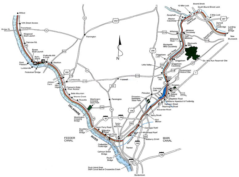
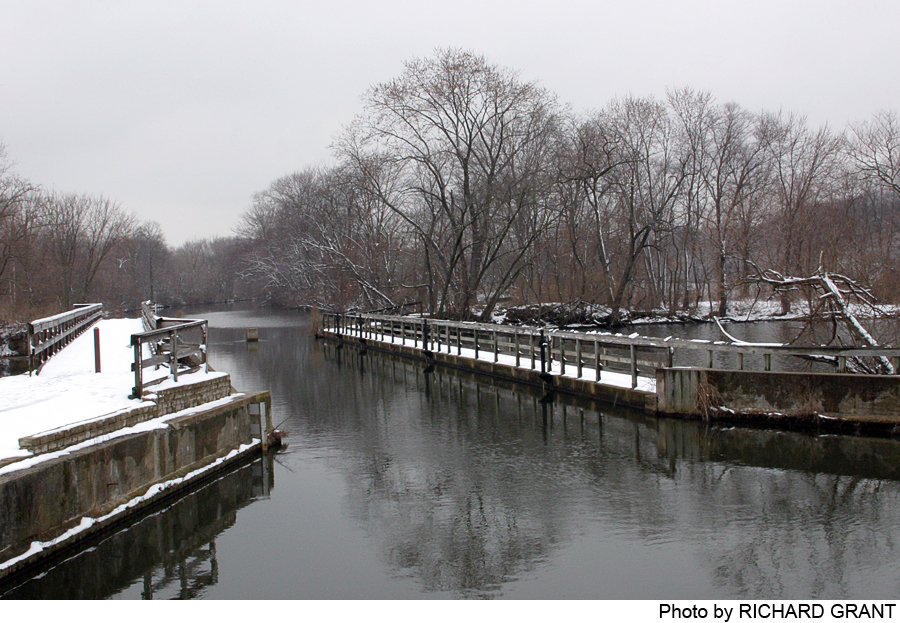
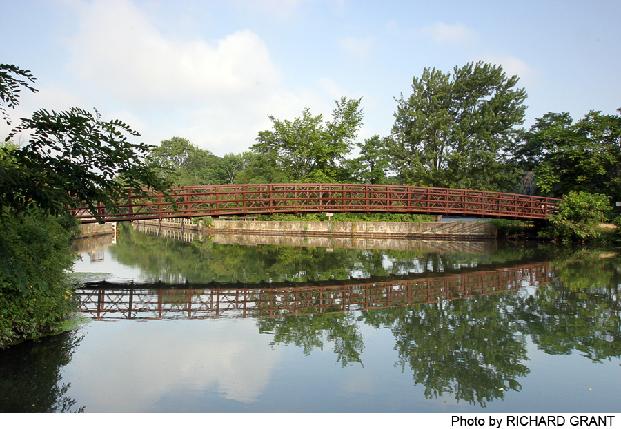
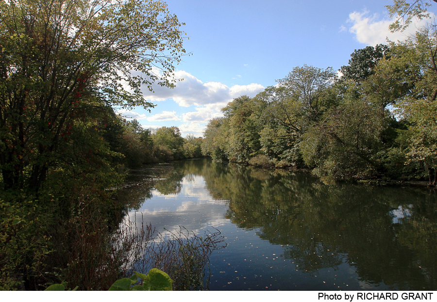
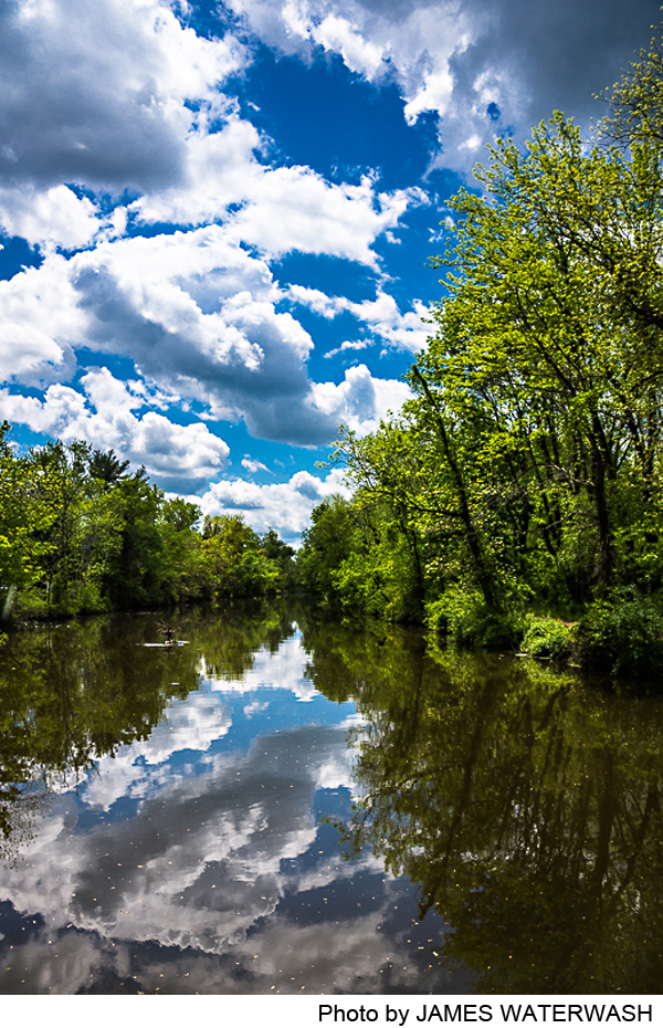
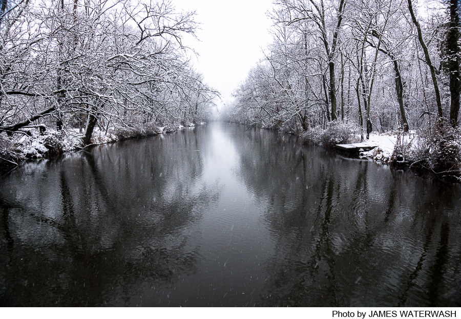
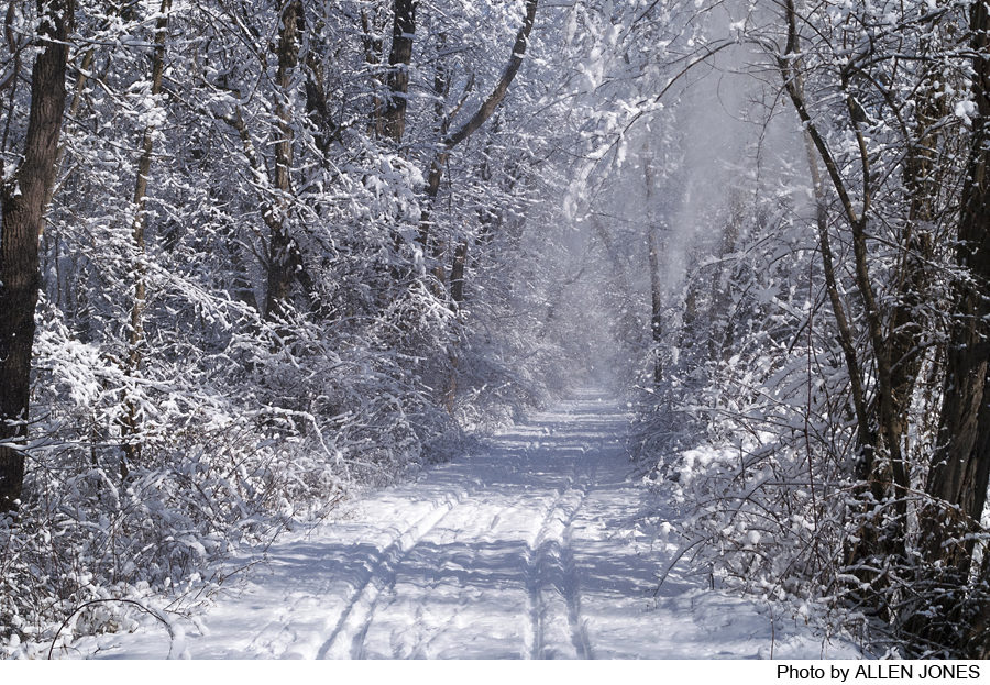
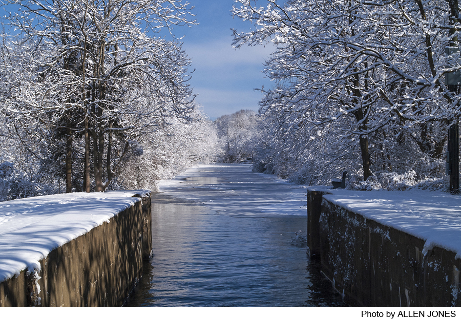
This is one segment of the 70-mile long Delaware and Raritan Canal State Park, one of the richest scenic, historic and natural resources in central New Jersey. This stretch of the park runs 33.7 miles from Trenton to the Raritan River and along the river to New Brunswick. It follows the old towpath, and offers a flat trail that is fine for easy walks and bicycle rides, with many historic sights along the way. The website of the Delaware and Raritan Canal State Park has detailed information about the Canal Park including maps, photos and points of interest. Go to D&R Canal State Park.
-
-
Distance:
A variety of distances are possible (see chart under Trail Description).
Time:
Varied
Markings:
Unmarked, but the tow path along the canal is easy to follow.
Trail Usage:
Walking/Hiking, Dogs permitted on leash
Elevation:
Flat with a few slopes at locks.
Difficulty:
Easy
Parking:
Parking is available at 17 locations in this park segment, at locations noted in the chart included with the trail description.
Tips:
For Information about the D&R Canal State Park go to D&R Canal State Park.
Amenities:
Directions:
There are many points of access—in Trenton, Lawrence Township, the Princeton area, Franklin Township, and New Brunswick. An excellent map, available in versions for viewing and printing, can be found at the D&R Canal State Park website, D&R Canal State Park, and provides clear indications of access points by road.
-
This segment of the Canal Park has for decades suffered from an interruption of the route available to walkers and cyclists, but it is being corrected. There is a new connection in Lawrence Township where the canal passes under Route 1 just south of I-95. A pedestrian/bicycle overpass was completed in April 2005 creating a continuous recreation route along this entire segment of the canal. There is a parking lot on the north side of Route 1 to access this new overpass.
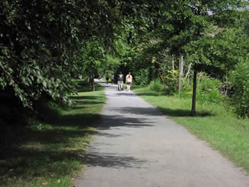
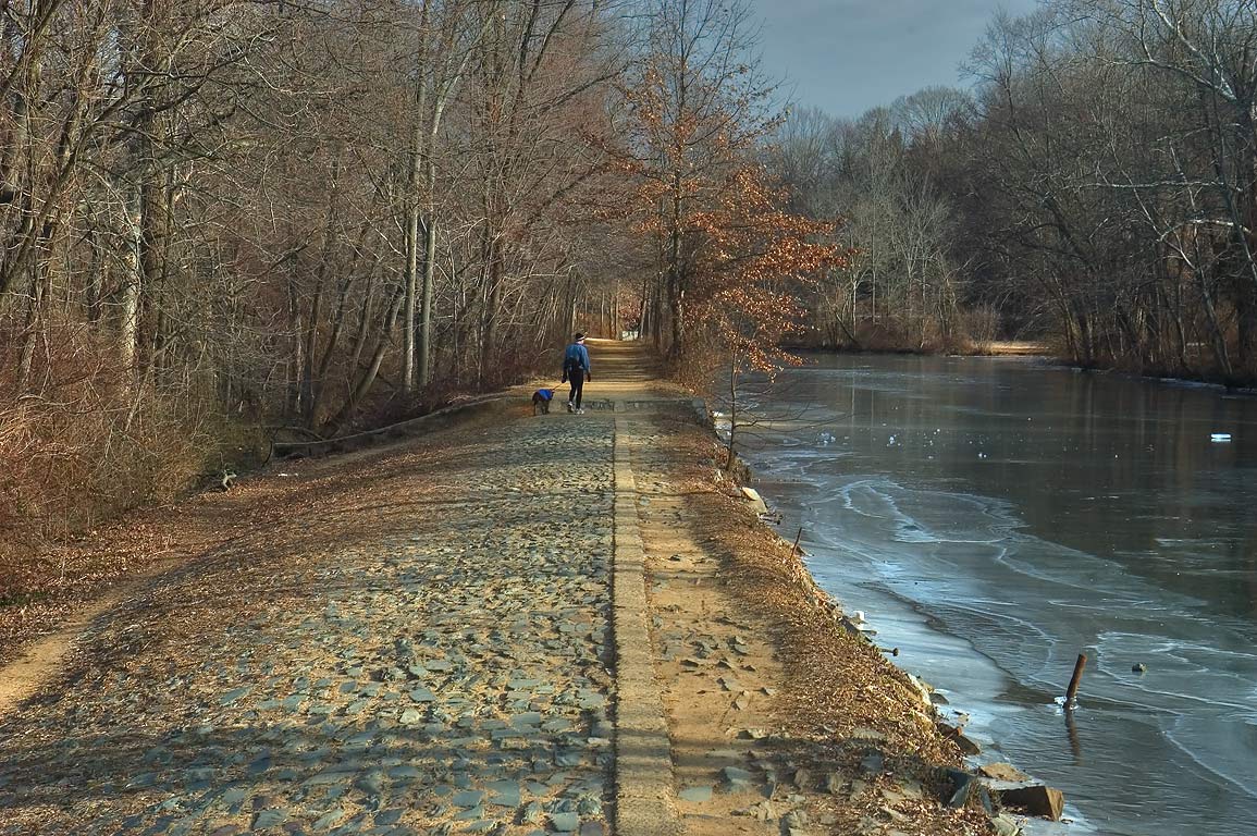
The trail is made of fine textured crushed stone and is for hiking, jogging and biking. No horses, motorized vehicles, or ATVs are permitted. The trail can be entered at 25 points in this segment of the park, 16 of which have Park-designated parking space. Walks or bicycle rides can begin and end at these various points (remember to double the distances!), or be made one-way by leaving a car or arranging pick-up at the completion point.
Chart of Trail Distances and Parking Availability (updated March 17, 2005)
Mulberry Street (Trenton)- No Parking.
0.9 miles to Cherry Tree Lane (Trenton)-Limited on street parking.
0.1 miles to Whitehead Road (Trenton/ Lawrence)-No parking.
1.7 miles to Carnegie Road (Lawrence Twp)-Parking is available.
0.6 miles to Basin Road
0.5 miles to US Route 1 (Lawrence Twp)- New Parking area available just north of intersection off Route One north. Access to new pedestrian overpass over Route 1.
1.8 miles to Port Mercer/Quaker Bridge Road (Lawrence Twp)-Parking is available.
2.6 miles to Princeton Basin/Alexander Road- Plenty of parking is available.
0.6 miles to Washington Road (Princeton/W. Windsor Twps.)-No parking
0.6 miles to Harrison Street (Princeton/W. Windsor Twps.)-No parking.
0.4 miles to Aqueduct/Mapleton Road (Plainsboro Twp.)- Parking is available.
2.3 miles to Kingston Lock/Route 27-Parking is available.
1.9 miles to Rocky Hill (Route 518)-Parking is available.
1.0 miles to Little Valley Farmer’s Bridge (Franklin Twp.)-Very limited parking.
1.4 miles to Griggstown Lock (Franklin Twp.)- Limited parking.
0.7 miles to Griggstown Causeway (Franklin Twp.)-Parking.
3.5 miles to Blackwells Mills (Franklin Twp.)-Parking.
2.1 miles to East Millstone (Amwell Road/ Route 514)(Franklin Twp)-Parking available.
2.1 miles to Weston Causeway (Franklin Twp.)-Parking available.
0.6 miles to Zarephath- No parking
0.6 miles to Ten Mile Lock- No parking
2.4 miles to South Bound Brook Lock-Parking is available.
1.7 miles to Five Mile Lock- Limited parking available.
1.7 miles to The Meadows (Demott Lane) (Franklin Twp.)-Parking available.
2.0 miles to Landing Lane Bridge (New Brunswick)- No parking.
This segment of the canal offers several interesting links to historic places and other natural areas:
Between Route 1 and Port Mercer: Path to historic Brearley House
Between Port Mercer and Princeton Basin: A link to the Institute Woods (trail guide Mer13)
Between the Kingston Lock and Rocky Hill: A link to the Cook Preserve and nearby Historic Rockingham. Go to Historic Rockingham.
At Blackwell Mills: A link to the Six-Mile Run Area
At the Meadows: Access to historic Van Wickle House. Go to The Meadows Foundation.
-
The raised banks of the canal form the margin of the flood zone along the Delaware River, and thus the boundary between flood plain and upland vegetation. The floodplain generally consists of an outer zone where floods deposit heavier and coarser materials that form a natural levee, and a lower, wetter area further from the river where fine-grained materials such as silt and clay settle. The outer floodplain is home for trees such as willow, river birch, sycamore, and introduced species such as box elder. In the lower inner plain you are likely to find pin oak, silver maple, swamp white oak, red maple, elm, and black gum, and occasionally tulip trees, sycamore, willow, and others. Shrubs include witch hazel, arrowwood, viburnums, and others, and herb species will be found such as sensitive fern, may apple, spring beauties, trout lilies, and cardinal flowers. Where the natural vegetation has been disturbed there is an abundance of vines such as Virginia creeper, Japanese honeysuckle, bittersweet, wild grape, and poson ivy.
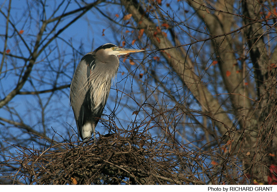
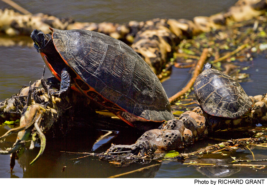
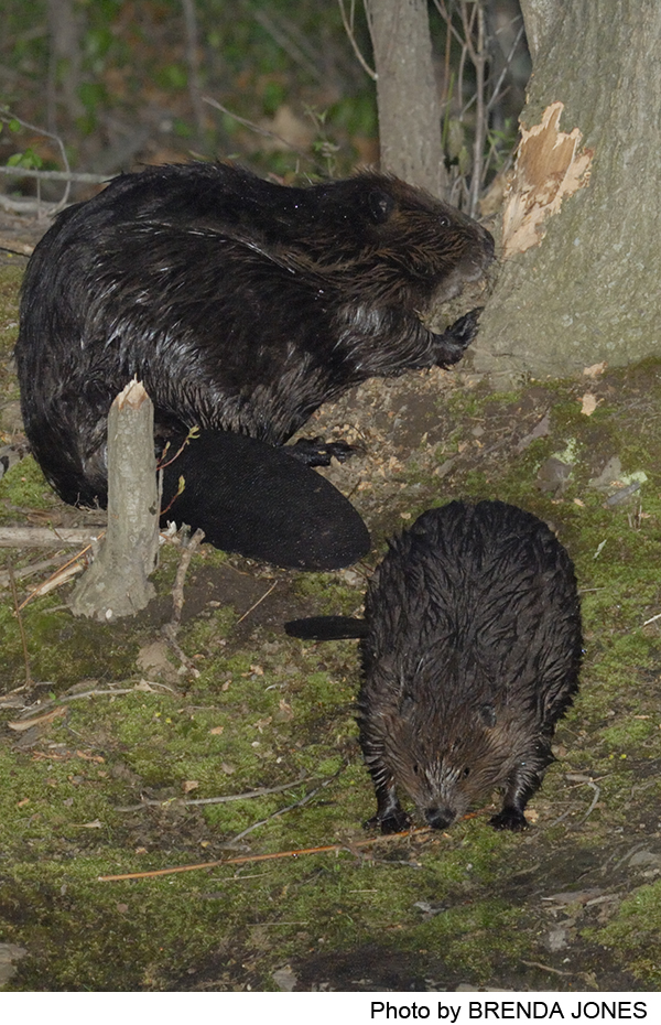
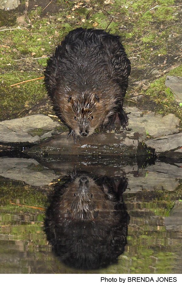
Animal life is an essential part of the Canal Park ecosystem. Although no wildlife survey has been taken, the wooded sections are sure to support opossums, raccoons, and skunk, and the meadows doubtless provide home to cottontail rabbits, red fox, and woodchuck. The canal itself is a good environment for fish: sunfish, white catfish, northern brown bullhead, white and yellow perch, and eastern chain pickerel. Shad and walleyed pike, important game fish, occasionally visit the canal.
Do you have information about this trail?
Click Here to contribute.
-
The 44-mile long main canal was built in 1830s. Dug by hand, mostly by Irish immigrants, the main canal—75 feet wide and 7 feet deep—carried barges from the Delaware River at Bordentown to the Raritan at New Brunswick. It was a vital means for carrying coal from the Pennsylvania mines to meet the booming industrial and residential needs of New York City. In the 1860s and 1870s, 80 percent of the cargo carried on the canal was coal.
The Delaware and Raritan Canal as a whole has served three functions since it opened in 1834. First it provided an inexpensive means to move freight between the Raritan and Delaware Rivers. It was a critical link for nearly 100 years in the network of rivers and canals that linked the Pennsylvania coalfields to New York and other cities. Second, it has provided water to meet the growing residential and industrial needs of New Jersey; shipping on the canal ended in the 1930s, and the canal was then rehabilitated to serve as a water supply system.
Its third function, and today the most obvious, is that of an informal recreation area. In 1973, the D&R Canal and numerous structures along the canal were put on the National Register of Historic Places; in 1974 the New Jersey Legislature created the Delaware & Raritan Canal State Park and the Delaware & Raritan Canal Commission, beginning the long process of developing a priceless recreational and natural resource with links to many historic sites.
Do you have information about this trail?
Click Here to contribute.
-
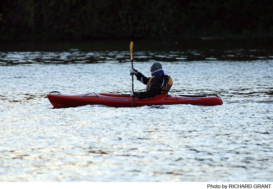
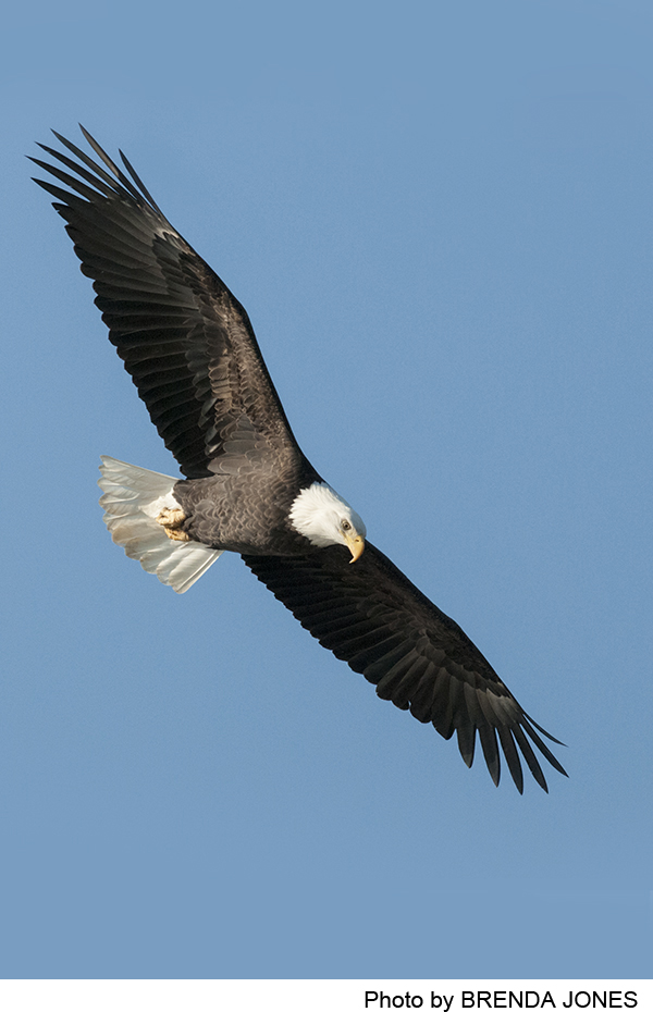
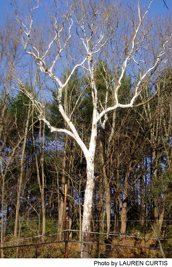
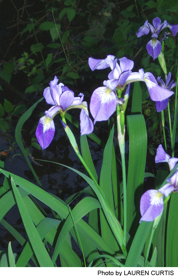
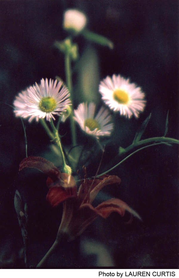
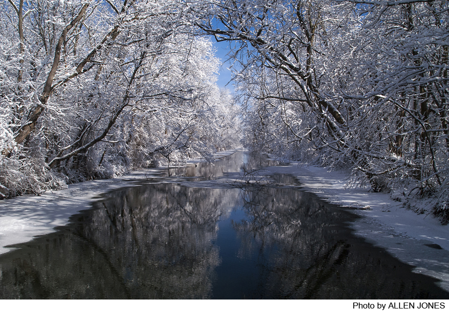
Photos

Videos
