Mercer
Princeton
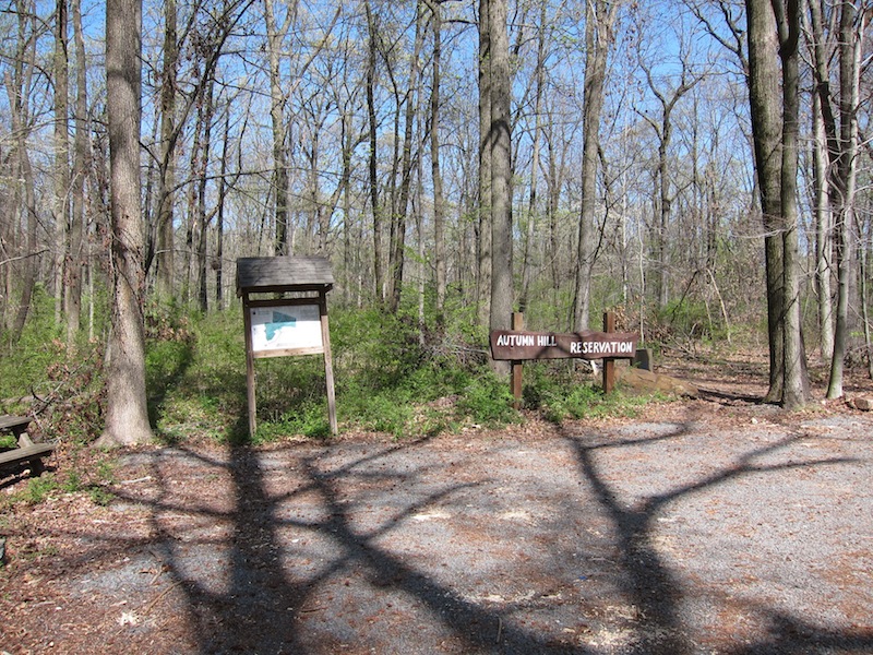
Autumn Hill Reservation
Princeton, NJ 08540


Last Updated: 08/07/2014
Overview of Selected Trail
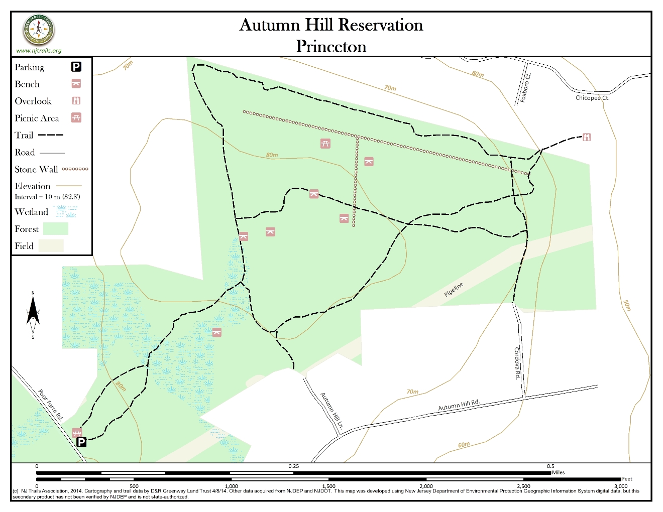
The park contains 78 wooded acres, with about 1.8 miles of well-maintained trails. The most striking characteristic is the complete solitude it offers, with only occasional traffic or airplane noise. Several old stone walls, one of which runs along the border with Somerset County, mark pre-existing farms in the area. Three pairs of benches built by Boy Scout Troop 43, some old logs and two picnic tables, one of which is at the parking lot, offer opportunity for rest.
-
-
Distance:
1.8 miles
Time:
25-35 minutes depending on pace
Markings:
Trails are marked with round metal markers in green, yellow and orange, designating the main trail and various side trails.
Trail Usage:
Walking/Hiking, Dogs permitted on leash
Elevation:
Mostly flat, with some slight inclines
Difficulty:
All trails are well cleared and easy to follow. The first 0.2 mile or so passes through wetlands and is almost always muddy, especially in the spring.
Parking:
There is a parking lot off Herrontown Road.
Tips:
A sign in the parking lot advises hikers that bow and arrow hunting is permitted between mid-September and mid-February. During the springtime and when there is significant rainfall, boots are highly recommended. For further information about hiking and open space preservation in the area, please see the website at Friends of Princeton Open Space.
Amenities:
There is a picnic area near the parking lot and several benches along the trails.
Directions:
From Princeton, go east on Valley Road. Go north on N. Harrison Street. Make a right at the second traffic light onto Bunn Drive and continue to the end, where it bears right and becomes Herrontown Road. Watch for the Autumn Hill sign on the left.
From 206 Southbound, turn left at the light onto Princeton Avenue (continuation of Cherry Valley Road). Make a right turn at the next intersection onto Mt. Lucas Road. Then turn left on Poor Farm Road and make an immediate left on Bunn Drive, which bears right and becomes Herrontown Road. Watch for the Autumn Hill sign on the left.
From Route 27 SouthPass through village of Kingston, cross the river at Kingston. Turn right at the light onto River Road. Take the next left (Herrontown Road.) and watch for the Autumn Hill sign on the right.
-
Trails marked in yellow and green leave from opposite ends of the parking lot and merge after 0.1 mile. The main trail (green) continues through a muddy area and across a footbridge before climbing slightly to an intersection with the main loop. Remaining on the green trail in either direction will eventually lead back to this point. The yellow trail branches off from the left leg of this loop and after 0.2 mile crosses the right leg twice, once from either side.
Three short spurs, marked in orange, branch off from the above trails. Going right on the green loop leads very shortly to a spur to the right, marked with a “Dead End” sign, that actually connects with Autumn Hill Lane. Continuing on the green loop to the far end leads to another spur, marked with signs saying “Scenic Outlook”, that also goes to the right, to a pleasant vista that looks beyond the Montgomery Woods townhouses to the town of Rocky Hill, the Millstone River valley and rising slopes toward the north. These hills are the southernmost remnants of lava that filled a fissure as North America and Europe began drifting apart in the age of the dinosaurs.
A less cluttered view, without the townhouses, can be had by taking the first yellow trail to the right and watching for an orange marker designating a spur. Also to the right, the trail leads out onto the gas pipeline easement. From here there is an unobstructed view to the northeast. The spur reenters the woods at the far side of the pipeline and runs downhill to Cordova Road. There is actually a view for quite a stretch along the northern boundary with Somerset County, but this is much better in the winter because of all the deciduous trees in the area.
-
There is a large population of deer, opossum, skunk, and red fox. In the back section of the park there are often large birds of prey, including turkey vulture, red-tailed hawk and great horned owl. Many varieties of hardwood trees are located here, along with various understory plants and wildflowers.
Do you have information about this trail?
Click Here to contribute.
-
Most of the reservation was purchased in 1967 by Princeton Township, with participation by Princeton Borough, Green Acres and Friends of Princeton Open Space. Through the nineteenth century, a number of hardscrabble farms were located here, and old stone walls mark the field and pastures built on this thin, rockstrewn soil. In the early twentieth century, the farmers in this area were referred to as the “Herrontown” or “Herringtown” farmers, because of their practice of driving to the shore and bringing back herring to use as fertilizer for their crops. By the middle of the century, the farms had all been abandoned.
Do you have information about this trail?
Click Here to contribute.
-
Photos
Videos
