Mercer
Hamilton
Abbott Marshlands: Roebling Memorial Park
Hamilton, NJ 08610


Last Updated: 01/17/2019
Overview of Selected Trail
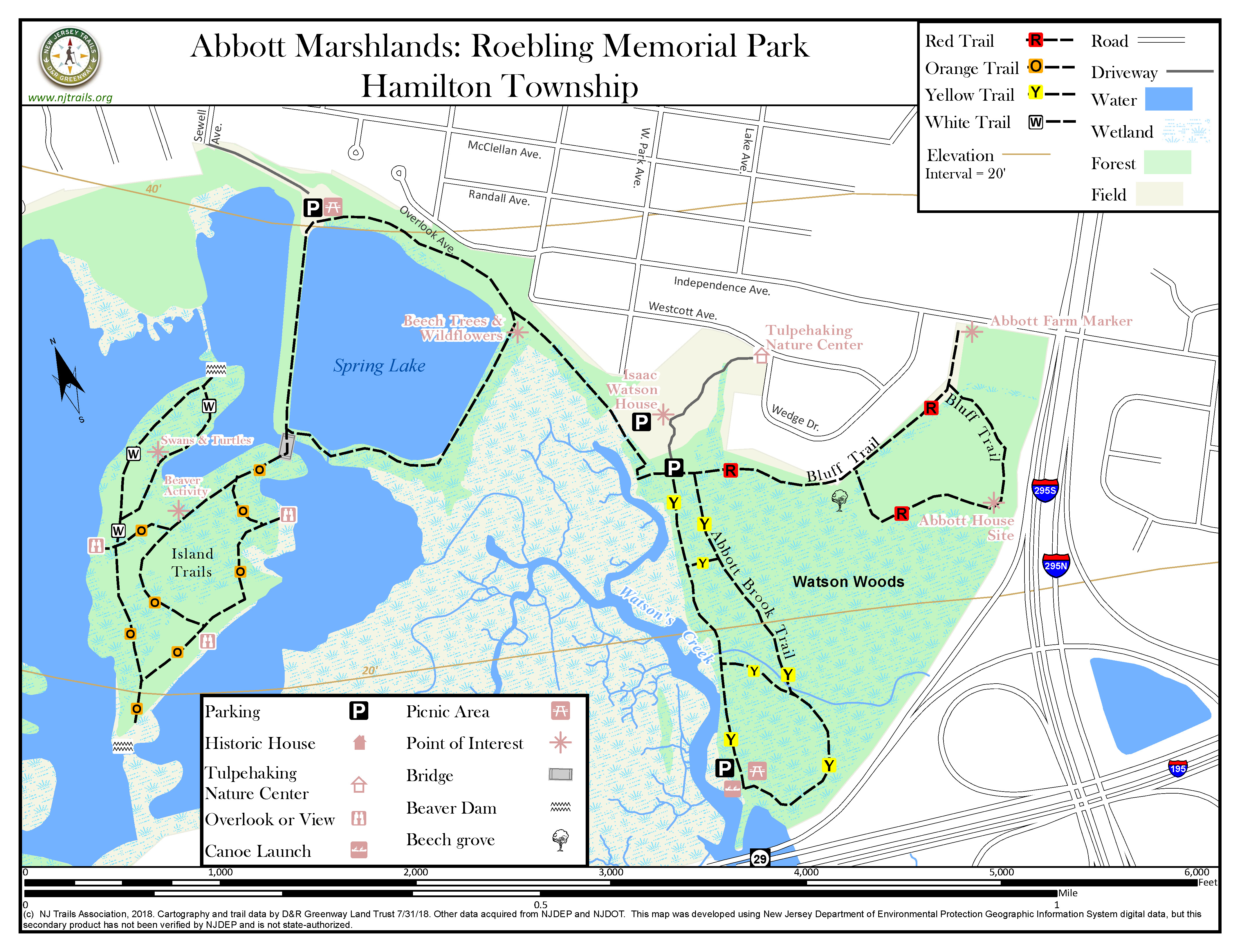
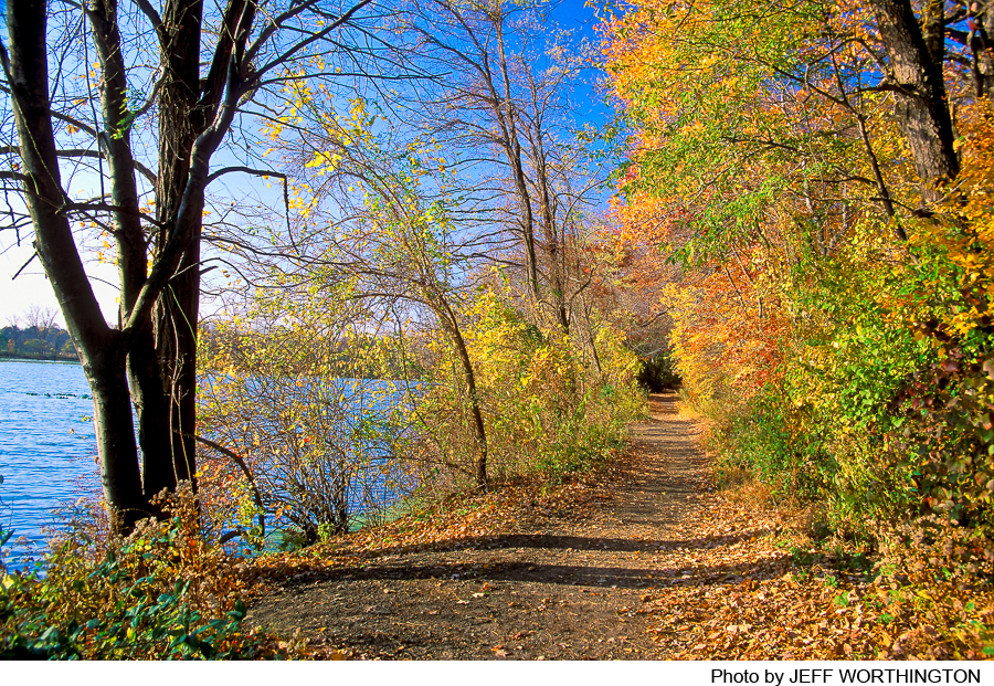
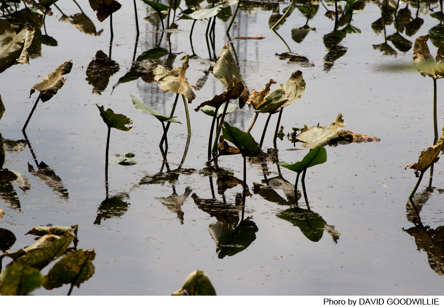
On the watery fringes of Trenton and Hamilton and the bluffs overlooking the Abbott Marshlands, several trails offer opportunities to see a wealth of animal and plant life, as well as an unusual historical setting. Three sets of trails are available. The Spring Lake Trail offers views of the lake by that name, and, along the dike at the west edge of the lake, there are tidal fresh water marshes and beaver-created ponds. The Island Trails lace a once farmed upland interior with swampy low-lying edges. East of Spring Lake, the Abbott Brook and Watson Woods Trails explore other low-lying areas and the bluffs overlooking them.
Visitors to this park can also enjoy the Tulpehaking Nature Center, at 157 Westcott Ave., near the road leading down to the historic Isaac Watson House and to Watson Woods. The Nature Center is the primary access and interpretive hub for the Abbott Marshlands. It provides programs and exhibits that encourage visitors to explore and discover the cultural, historic and natural resources of the Abbott Marshlands.
-
-
Distance:
About 4.7 miles of trail on this part of the Marshlands located in Roebling Park.
Time:
Approximately 30-90 minutes for each of the 3 parts
Markings:
Paint on the trees for the Island Trails, the Watson Woods Trail and the Abbott Brook Trail. There are no markers for the Spring Lake Trail.
Trail Usage:
Walking/Hiking. Bicycling is permitted around Spring Lake and from Spring Lake to Watson Woods and the Tulpekakimg Nature Center.
Elevation:
The trails are flat for the most part. The Watson Woods Trail has a change of elevation (40 feet) near the Abbott Bluffs.
Difficulty:
Trails are easy for walking and hiking.
Parking:
There is parking for 38 cars in the parking lot in the Roebling Park at Spring Lake. The Watson Woods picnic area holds 20 cars. There is also parking for 8 cars at the Independence Avenue entrance on the road shoulder. There are 20 additional parking spaces near the Watson House.
Tips:
For more information about the Abbot Marshlands, as well as maps, scheduled field trips, guides, etc. visit the Abbot Marshlands website.
Additional resources include the Partnership for the Delaware Estuary. For more information call 1-800-445-4935 or visit their website at Partnership for a Delaware Estuary.
Amenities:
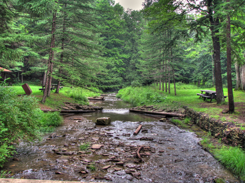
There are picnic tables at the Spring Lake and Watson Woods parking areas and portajohns are seasonally available at the Spring Lake and Watson Woods parking areas. The Nature Center has toilets.
There is a canoe launch at Watson Woods. Please use care when near water; tidal currents can be swift and dangerous. Consult tidal information before setting out. See Trenton tides: www.abbottmarshlands.org. Tidal range can be more than 9 feet. Note that tides are approximately 1 hr later at Watson Woods than at Trenton (=Bordentown).
Directions:
Take Interstate 295 to Exit 61A, Arena Drive. Take Arena Drive to the second light, and turn right onto Woodside Avenue. Follow Woodside Avenue .4 miles to South Broad Street. Turn right onto South Broad.
For the Roebling Park /Watson Woods parking area: Follow South Broad to the third traffic light, and turn left onto West Park Avenue. In 6 blocks turn left onto Westcott Ave. Turn right at the Roebling Park sign , and follow the dirt road to the pullout or the parking area at the end of the road.
For the Roebling Park/Spring Lake parking lot: Stay on South Broad until the fifth light. At the fifth light, turn left onto Sewell Avenue. Follow Sewell Ave. 4 blocks to the end. Turn left at the fence and go down the hill into the Robeling Park parking lot. (See Friends for the Marsh for Access Points maps.)
-
Spring Lake trails include those around Spring Lake (blue, no markers) and the Island (orange) and Annabelle (white) trails on the island.
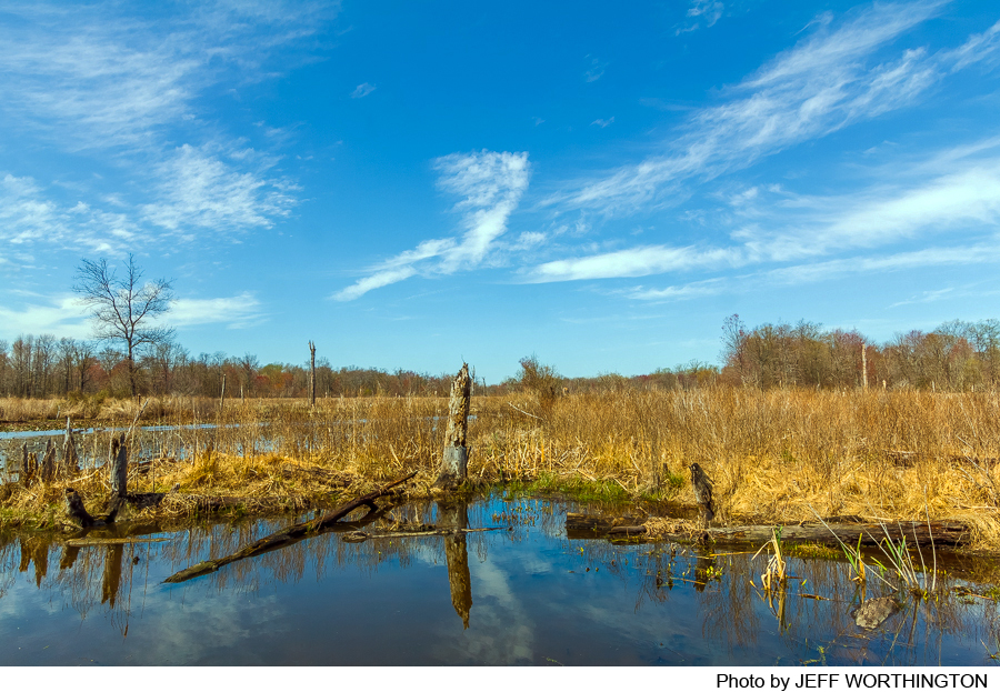
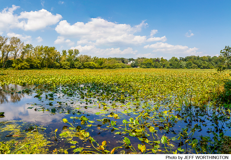
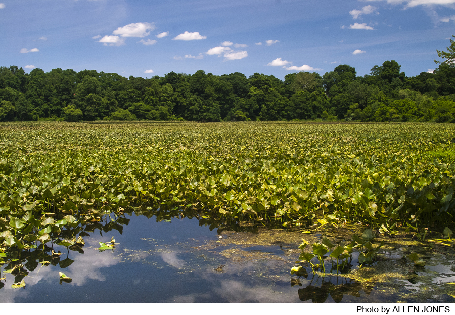
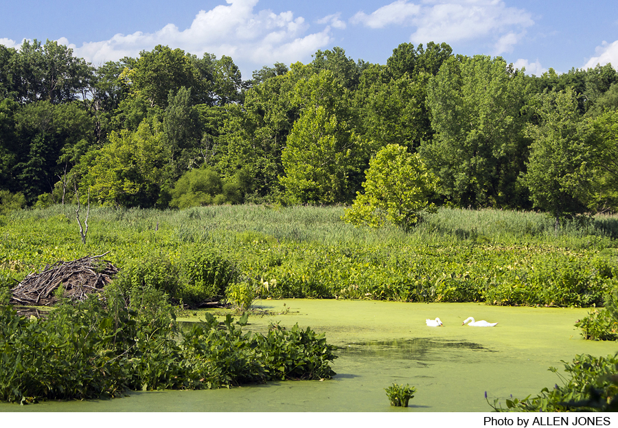
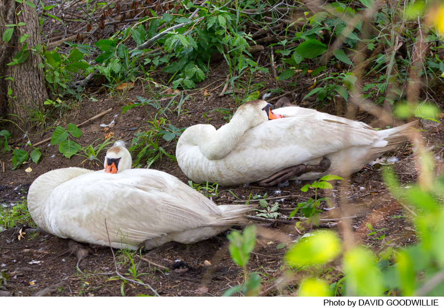
As you walk around Spring Lake, near the spillway, you will see the freshwater lake on one side and freshwater tidal marsh and a beaver dammed marsh on the other side. Look for waterfowl especially in winter. Openings in the vegetation are good places to view the beaver lodges and look for swans and muskrat; look for osprey and eagles overhead. At the eastern corner of Spring Lake, the trail continues south past the bluffs and connects to Watson Woods and the Bluff and Abbot Brook Trails.
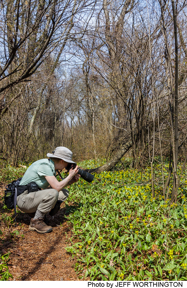
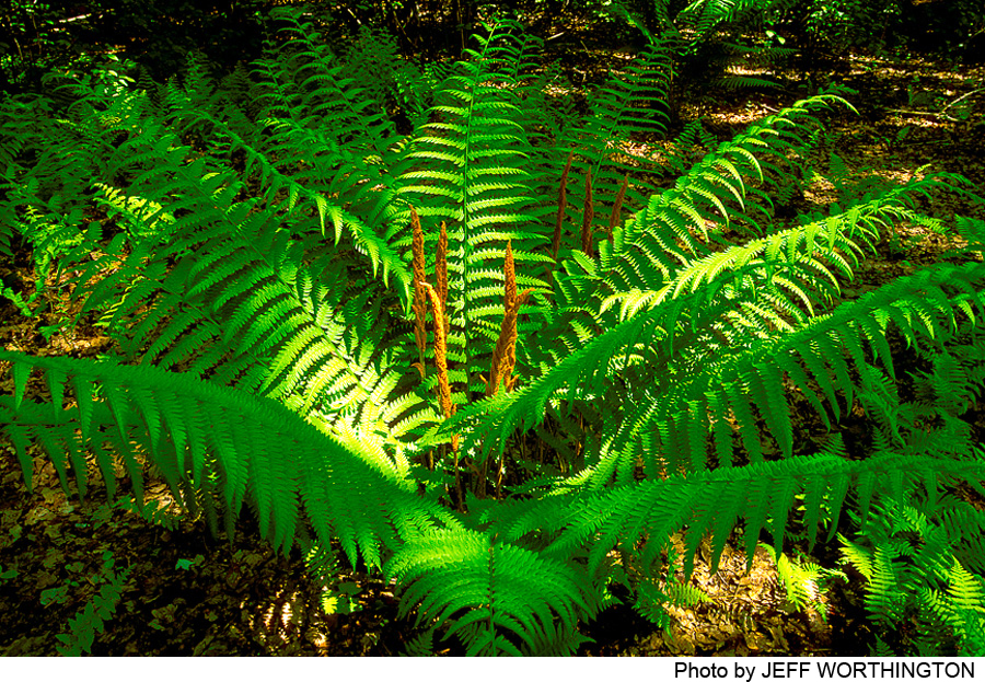
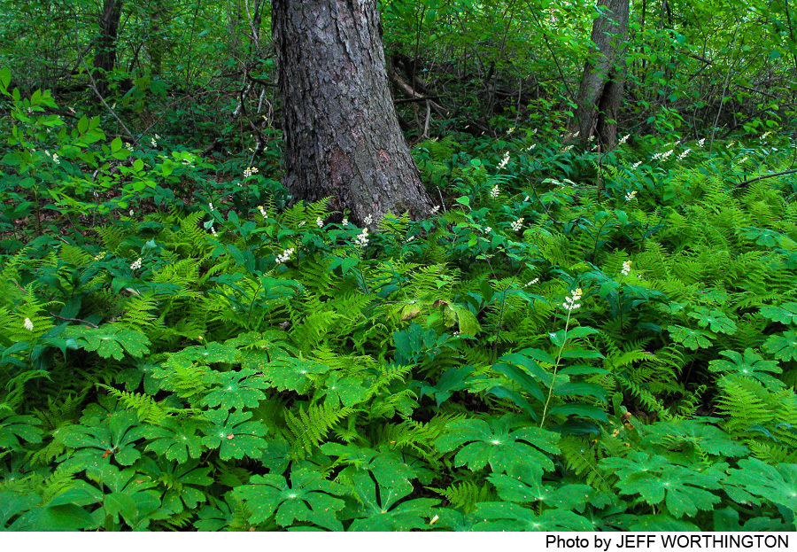
The Island and Anabelle (orange and white markers) trails allow you to explore an area that was farmed until the 1950s. Farmland has been naturally replaced by various kinds of trees, including red maples, tulip trees, and sassafras, and with shrubs, like spice bush and blueberry. A lush herb layer of spring flowering plants includes trout lilies, mayapple, and Solomon’s plume. In spring look for migrating warblers. There are a number of places where you can overlook marsh and see wintering ducks and in summer egrets and herons.
Watson Woods– The Bluff trail (red markers) starts at the base of the bluff just below the Watson House. It follows an old carriage road through a beech, maple and oak woodland to a creek crossing. After the creek, take the left fork and climb to the top of the bluff. Walk through the grass field to Independence Avenue, or pick up the trail (red markers) again on the right (near the bottom of the grass area). This leads to the cellar hole of the Abbott house, which is all that remains because a disastrous fire destroyed it in 1914. The trail makes a loop and continues along the bluff to rejoins the Bluff trail at the creek.
The Watson Woods Trails can also be entered from Independence Avenue, near the marker that commemorates the site of the Abbott Farm, home of Dr. Charles Conrad Abbott, for whom the Abbott Marshlands is named. Walk to the bottom of the grass area, and one the left follow red Bluff Trail that will take you past the Abbott house site, and down the hill to join the orange Abbott Brook trail.
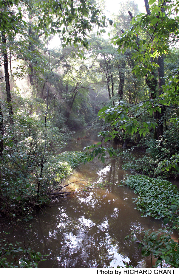
The Abbott Brook Trail (orange markers) starts near the parking pullout and meanders through the swamp dominated by red maple to the picnic area at the end of the dirt road. From the picnic area you can see Watson’s Creek where the freshwater tidal range can be more than 9 feet. (Do not enter the water; it can be swift, deep, and dangerous). Further along this trail you will reach Abbott Brook, which can only be crossed at low tide if you want to keep your shoes dry. (To avoid this, take a cutoff trail earlier to the right, before reaching the brook, and join the park road to return to the starting point).
-
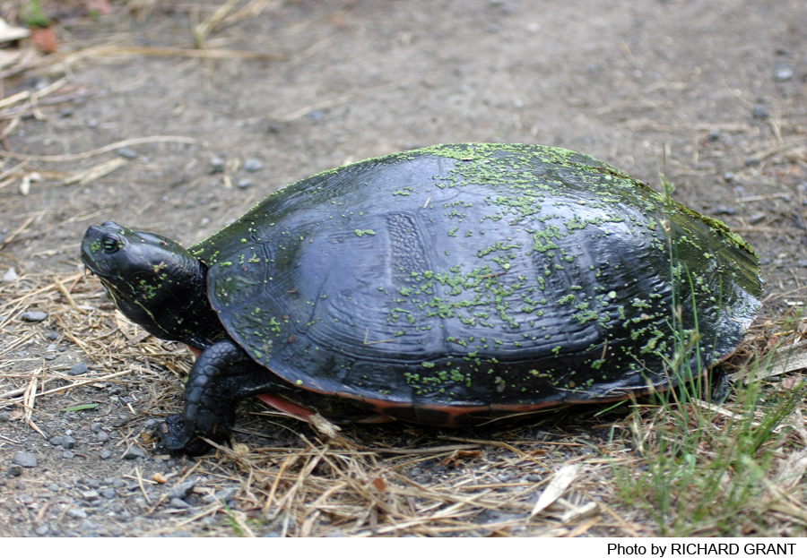
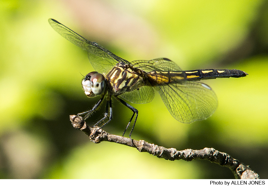
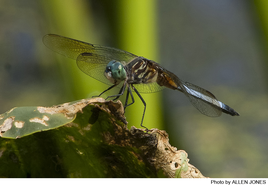
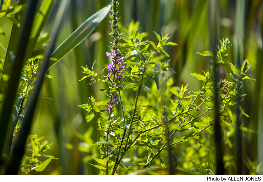
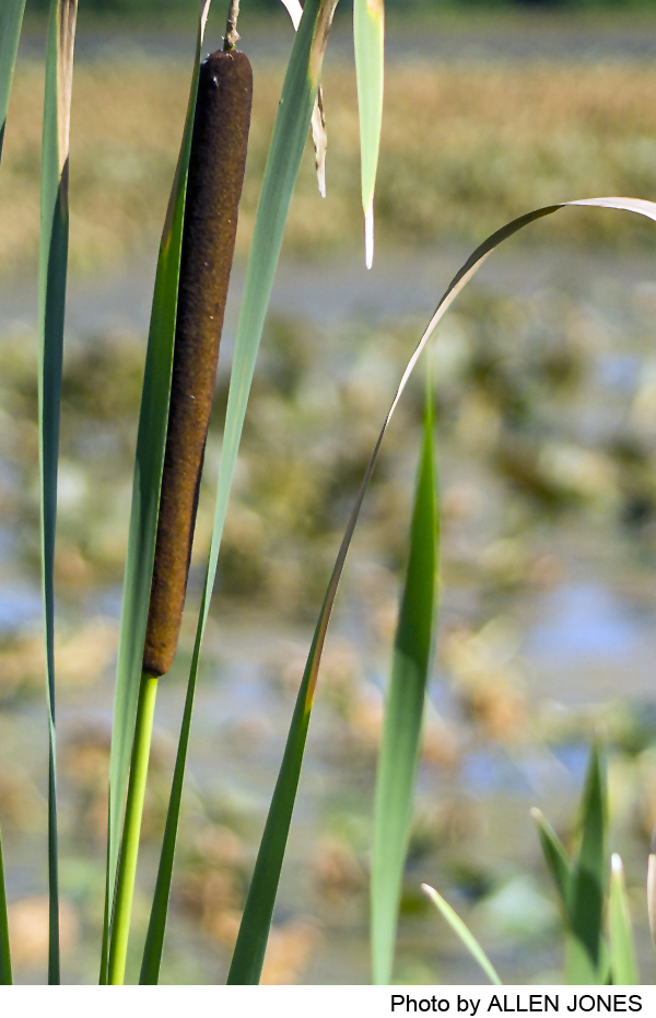
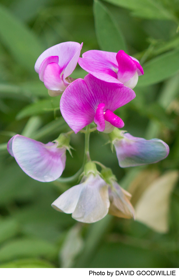
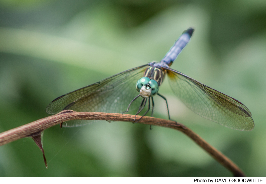
The Abbott Marshland’s diverse habitats support over 1,200 species of plants and animals. Among these are 245 species of birds, including red-winged blackbirds, Carolina wrens, warblers, woodpeckers and owls. Water birds, such as great blue herons, ducks, geese and great egrets, thrive in and around its waterways. In addition, more than 925 species of plants, 27 species of mammals, 21 species of amphibians and reptiles, 62 species of fish, and 34 species of butterflies have been discovered in the Marshlands. A number are rare or endangered.
Do you have information about this trail?
Click Here to contribute.
-
The Abbot Marshlands are significant to understanding Native American culture. Indian artifacts dating back 13,000 years have been recovered from areas within the Abbott Marshlands. Rivers and creeks provided Indians with plentiful fish, such as sturgeon, shad, and eels. Other foods items would have been muskrat, deer, waterfowl, and various plants, including cattail and Indian potato. Fishing is permitted within the park and hunting continues in some designated areas (not near trails).
Two historic residences were located within the park. At the top of the hill overlooking the Marsh, visitors will see the Isaac Watson house, the oldest house in Mercer County. It was built in 1708 when Trenton was called the “Falls of the Delaware.” The Watson ’plantation’ ran from the bluffs, where the house is located, to the Delaware River. Less than a mile away, the home of Dr. Charles C. Abbott, “Three Beeches,” was built in the mid-1800s. Dr. Abbott was a famous naturalist and archeologist who wrote about the natural history of the marshlands and collected and interpreted the many Indian artifacts he found on his property. Some collected by CC Abbott are on display in the New Jersey State Museum, 205 West State Street, Trenton, NJ (609 292-6308).
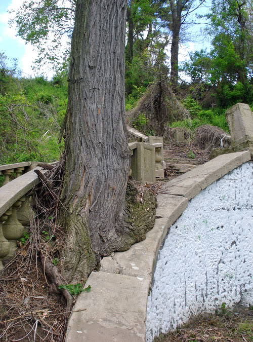
The area provided opportunities for popular entertainment. Spring Lake, formerly called White City Lake, was created in the late 1800s as part of an amusement park. The White City Park opened in 1907 and operated until the 1930s. The stairway descending the bluffs from the trolley stop can be seen from the Spring Lake parking lot. Overlooking the park is the restored White City Mansion, now privately owned, that also stands as a reminder of by-gone days.
Over time, the Abbott Marshlands have had many uses; impacts have also been many. In the 1830s a railroad and the D&R Canal were constructed along the west edge of the marsh altering the flow of water to the Delaware River. The marks of more modern industry and transportation are clear. The visible PSE&G electric plant and the power lines were built in the 1950s. There is a sizeable landfill along the west edge that was closed following rulings associated with the Clean Water Act of the 1970s. The construction of the I-295- highway complex through the marsh began in 1984. The northern part of the park was used as a construction dump and as a car and truck repair site. Piles of rocks and other industrial debris are a reminder of this part its history. With appreciation of the considerable values of wetlands has come an increased interest in stewardship and protection. To recognize the significance of the area, the United States Department of the Interior designated a major portion of the Marshlands as the Abbott Farm National Historic Landmark in 1976, the highest designation bestowed by the Federal Government. A permanent plaque has been installed at Watson Woods commemorating this site. To respect this legacy and help safeguard this important archaeological site, please note that digging for artifacts is illegal and destroys important historical records.
Do you have information about this trail?
Click Here to contribute.
-
Photos

Videos
