Mercer
Lawrence Township
Carson Road Woods
Lawrence Township, NJ 08648

Last Updated: 08/13/2013
Overview of Selected Trail
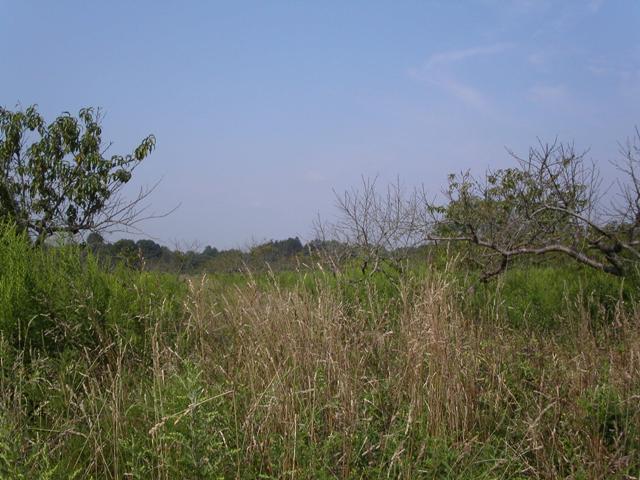
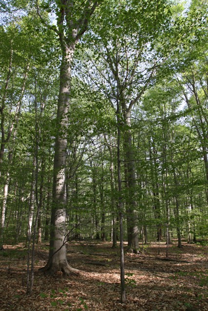
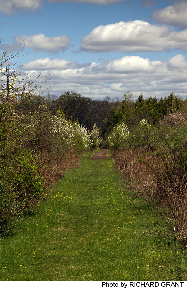
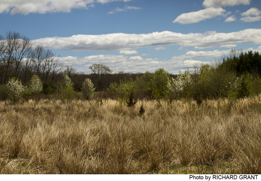
Carson Road Woods offers a network of walking routes. Most follow the margins of open fields along the edge of the woods or along hedgerows. One trail wanders through a forest of tall beech trees, and one section of trail hugs the course of a small brook that is a tributary of the Stony Brook.
To learn more please check the website: Carson Road Woods.
Additional trails are possible along the Lawrence Hopewell Trail. Visit the following website: Lawrence Hopewell Trail.
-
-
Distance:
Multiple trails
Time:
1-2 hours (more if bird-watching)
Markings:
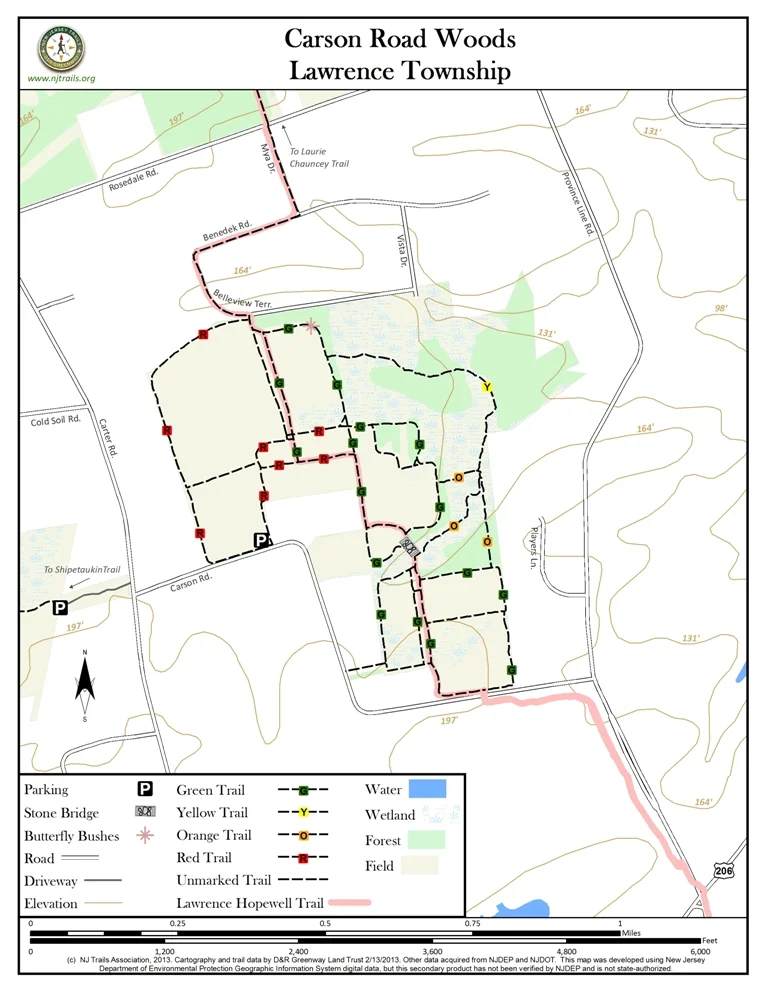
Trails are marked with two-foot posts topped by small molded leaf imprints in different colors: sweet gum (red), oak (green), beech (yellow), sassafras (orange), or maple (orange).
Trail Usage:
Walking/Hiking
Elevation:
Flat
Difficulty:
Trails are generally mowed grass margins of fields or open paths through woods. On the Maple Leaf Trail there are several small brook crossings where a little caution is needed, as the banks and stepping stones tend to be slippery.
Parking:
There is room for four cars in a crushed stone parking area off Carson Road, about a quarter mile from Carter Road. The lot is marked only by a Green Acres NJ Department of Environmental Protection sign.
Tips:
Amenities:
None
Directions:
From Princeton (or Lawrenceville), take Route 206 south (north), and turn right (left) onto Province Line Road. Go about .5 mile and turn left on Carson Road. Follow Carson Road .7 miles, through a bend to the right and then to the left. Parking is on the right just after the second bend. The parking can also be approached by turning off Carter Road onto Carson Road (about .25 mile east of Cold Soil Road.)
-
From the parking lot, the Sweet Gum Trail follows the edges of the abutting field. There are two connections to the Oak Leaf Trail: one, just a few hundred yards from the parking, is an eastward extension spur of the Sweet Gum Trail between two sections of an old peach orchard, and the second, at the northeast corner of the Sweet Gum circuit.
From this second point, the Sweet Gum Trail follows another field margin, curving to the south past a group of butterfly bushes (Buddleia). Take off to the east through a small grove of spruce and pine onto the Beech Forest Trail, which meanders through scattered ferns and tall open woodland, eventually (after crossing a stream and stepping stones) reaching a slightly complicated juncture of three trails at a stream crossing. Take the Sassafras Leaf Trail to the right (west) away from the brook to rejoin the Oak Left Trail, or straight ahead, crossing the brook. Immediately after the brook, the Stream-Maple Leaf Trail stays to the right along the brook, and the Sassafras Trail continues to the left to join the southern-most field-skirting loops of the Oak Leaf Trail.
The Stream-Maple Leaf Trail leads to a stone-edged bridge just at the northern edge of these same fields. Turning left (south) leads to the fields, and to the right, across the bridge, out into fields rimmed by the Oak Leaf Trail. Staying to the left (west), and then turning straight north leads the walker to the eastern edge of the old peach orchard, the eastern end of Sweet Gum spur, which leads back to the parking area.
Two secondary trail connections may be difficult to find. Shortly after starting off from the Oak Leaf Trail onto the northern end of the Beech Forest Trail, there is a cutoff to the south, but it can be very indistinct. There is also supposed to be an “alternate trail” across the brook just west of the stone bridge, but lush summer growth may obscure it entirely.
-
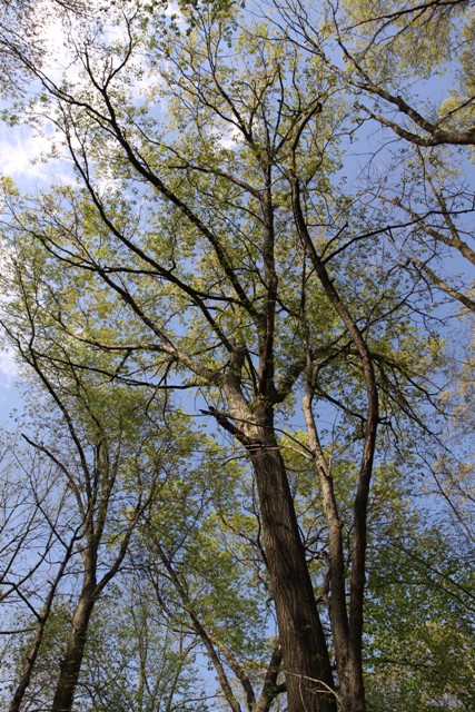
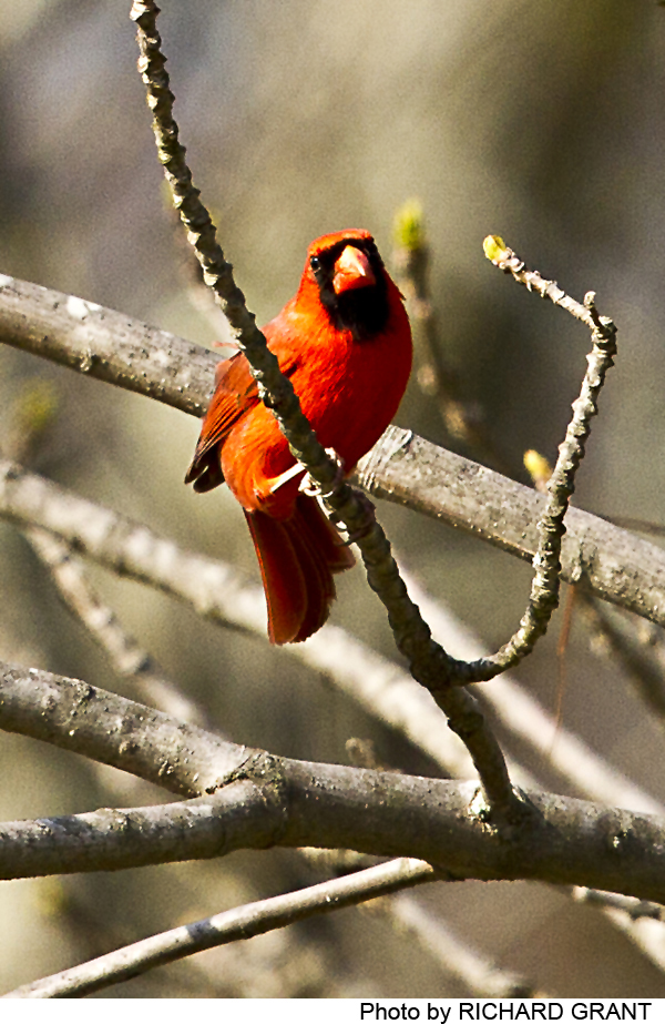
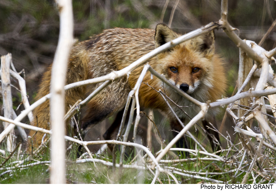
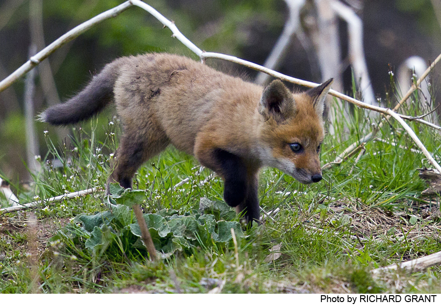
The woods, fields, and hedgerows are rich with dozens of identified bird species, including downy and hairy woodpeckers, eastern bluebirds, wood thrushes, black-capped chickadees, yellow-rumped warblers, woodcock, towhees, and many others. Walkers should also look for hawks hunting over the fields. Coyote scat has been found, and cottontail rabbits and whitetail deer are likely to scamper across your path. Forested areas include not only beech but ironwood, red oak, Norway maple and spruce, tulip, ash, cedar, shagbark hickory and others.
Do you have information about this trail?
Click Here to contribute.
-
These fields and woods lie just west of the Province Line, established in a 1687 survey, between East and West Jersey and the lands of Sir George Carteret and Lord John Berkeley, granted proprietary rights by James, Duke of York and brother of King Charles II of England. Settlers came from the north along the Indian trail from the Raritan River to the Delaware River above Trenton, following what are now sections of Route 206. Dutch, English, French, Swedish, and others populated the area in the early 18th century. This land was targeted for residential development in the late 1980s, but was preserved as open space in 2001 by the efforts of a coalition led by D&R Greenway Land Trust, including Lawrence Township, the Lawrence Township Conservation Foundation, Bristol-Myers Squibb Corporation, and area residents, who together raised a total of $8.4 million in state, county, and municipal funds and private donations to purchase the land.
A more detailed history of Carson Road and Carson Road Woods can be obtained at Carson Road Woods.
Do you have information about this trail?
Click Here to contribute.
-
Photos
Videos

