Mercer
Delaware Township
D&R Canal State Park – Bull’s Island to Trenton
Delaware Township, NJ 08559


Last Updated: 01/22/2013
Overview of Selected Trail
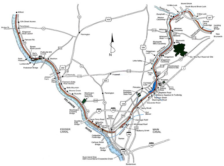
This segment of the Canal Park, from Bulls Island to Trenton, connects on the northwest along the Delaware River end to the Belvidere and Delaware Railroad Canal segment of the park (see separate trail guide). At the bridges across the Delaware River (at Frenchtown, Bulls Island,Stockton, Lambertville, and Washington Crossing ) there are connections across the river to Pennsylvania’s Delaware Canal and its 60-mile long path between Easton and Bristol. Those bridges allow walkers and bikers to make loops using canal paths on both sides of the Delaware River. A connection is also possible, along city streets, to the segment of the park that runs north from Mulberry Street in Trenton to New Brunswick (see separate trail guide for D&R Canal State Park, Somerset County).
-
-
Distance:
This is one segment of the 70 mile long Delaware & Raritan Canal State Park. This stretch of the park runs 22.7 miles from Bulls Island to the “summit” at Old Rose Street in Trenton, following the former roadbed of the old Belvidere and Delaware Railroad.
Time:
Varied.
Markings:
Unmarked, but the towpath and other trails are generally obvious.
Trail Usage:
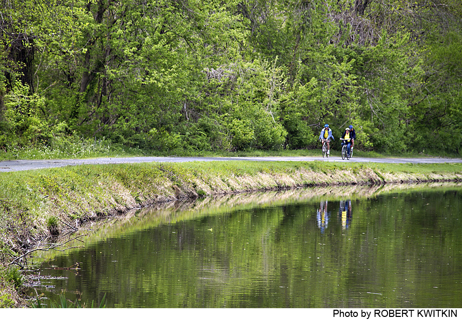
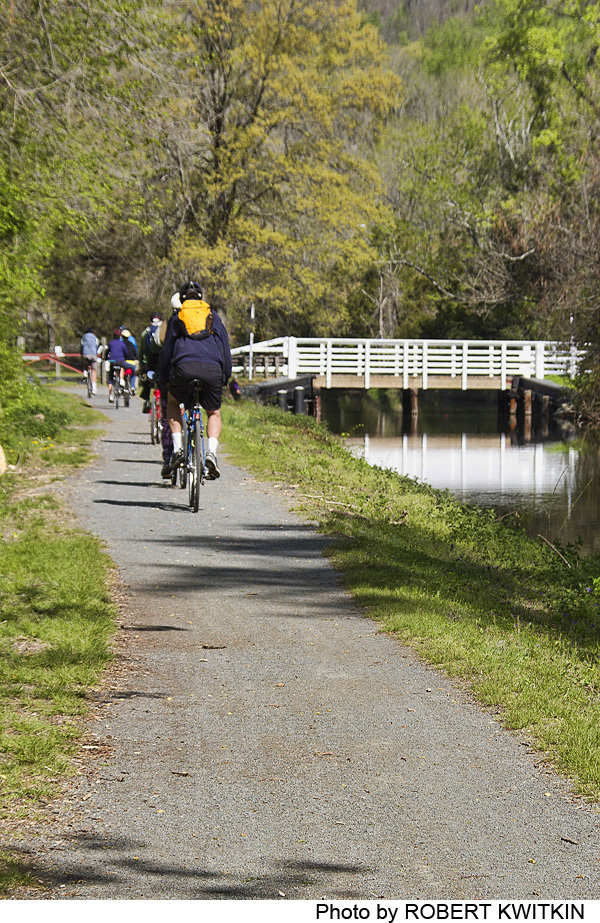
Walking/Hiking, Mountain biking
Elevation:
Flat with a few short slopes at locks.
Difficulty:
Easy
Parking:
Trail distances and parking availability vary along the Feeder Canal. See Trail Description section for specific distances or check the website.
Tips:
N/A
Amenities:
For more information about the D&R Canal State Park, go to the D&R Canal State Park.
Directions:
Points of access to this segment of the park trail are all off Route 29. From I-95, take Exit 1 and follow Route 29 north to entry points between Lambertville and Scudders Falls, and south to entry points between I-95 and Trenton. From other directions use Route 523 to Stockton from Flemington, Route 518 from Hopewell to Lambertville, and then Route 29 to the desired specific starting point.
An excellent map is available in versions for viewing and printing. Go to D&R Canal State Park.
-
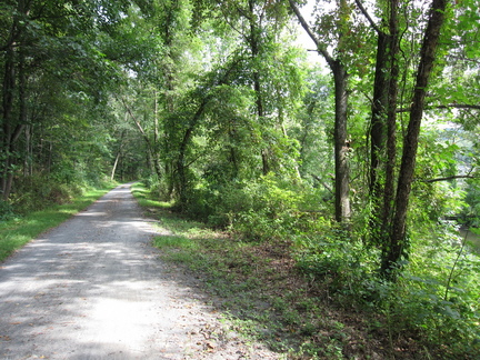
The trail is made of fine textured crushed stone and is for hiking, jogging and biking. No horses, motorized vehicles, or ATVs are permitted. The trail can be entered at 21 points in this segment of the park, 10 of which have Park-designated parking space. Walks or bicycle rides can begin and end at these various points (remember to double the distances!), or be made one-way by leaving a car or arranging pick-up at the completion point.
Chart of Trail Distances and Parking Availability
Intake of the D. & R. Canal- No parking.
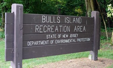
0.8 miles to Bulls Island (park access road from Route 29) Parking available. Bulls Island is one of New Jersey’s finest family campgrounds. The picnic area at Bulls Island is a great area for picnics.
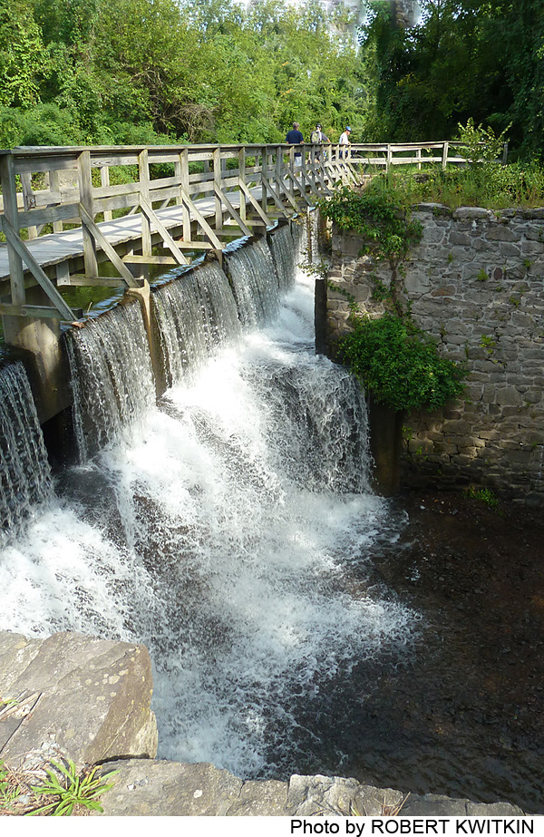
2.9 miles to Prallsville Mill and guard lock (off Route 29)- Parking available.Be sure to explore the historic Prallsville Mill in Stockton. The Friends of the Mill Association schedule activities throughout the year.
0.4 miles to Bridge Street (Stockton)- No parking.
2.3 miles to Jimson Farm (south of Route 202)-Parking available.
1 mile to Bridge Street (Lambertville) -No parking.
0.5 miles to Lambertville Lock -Parking available(accessed from Bridge Street).
1.2 miles to Firemans Eddy (Route 29 at Old River Road)-Parking is available.
1.8 miles to Moores Station (Pleasant Valley Road)-Parking is available.
2.2 miles to Titusville (Church Street)- No parking.
1.2 miles to Washington Crossing (Route 546) – Parking available.
2.4 miles to Scudders Falls, Ewing (Route 95 at Rte 29) Parking available.
0.8 miles to Upper Ferry Road, Ewing- No parking.
0.5 miles to Wilburtha Road, Ewing-No parking.
0.9 miles to Lower Ferry Road, Ewing – Limited parking.
1.7 miles to Cadwalader Park, Trenton- Parking available.
0.5 miles to Hermitage Avenue, Trenton- No parking.
0.4 miles to Prospect Street, Trenton- No parking.
0.3 miles to Calhoun Street, Trenton – No parking.
0.5 miles to Trenton Battle Monument – No parking.
0.2 miles to Montgomery Street, Trenton – No parking.
0.2 miles to Old Rose Street, Trenton – No parking.
There is no path connecting the summit at Old Rose Street with the Main Canal heading north to Princeteon and New Brunswick, because the canal itself is covered in that section. There are plans to provide a path making the connection. For now, walkers and cyclists can follow city streets to make the connection, as follows: From the canal at Old Rose Street there is a path to Southard Street. Turn left on to Southard Street. Take the first right on to Brunswick Avenue, the first right onto Sylvester Avenue, and the first left onto New York Avenue. Continue on New York Avenue to Mulberry Street. Turn left and continue a short distance to the canal.
-
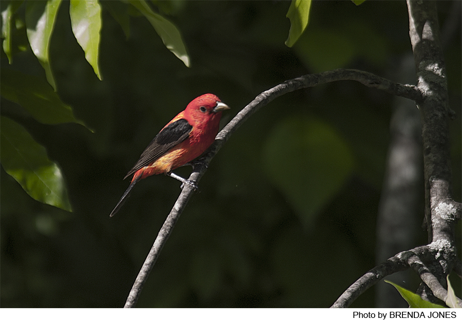
The raised banks of the canal form the margin of the flood zone along the Delaware River, and thus the boundary between flood plain and upland vegeetation. The floodplain generally consists of an outer zone where floods deposit heavier and coarser materials that form a natural levee, and a lower, wetter area further from the river where fine-grained materials such as silt and clay settle. The outer floodplain is home for trees such as willow, river birch, sycamore, and introduced species such as box elder. In the lower inner plain you are likely to find pin oak, silver maple, swamp white oak, red maple, elm, and black gum, and occasionally tulip trees, sycamore, willow, and others. Shrubs include witch hazel, arrowwood, viburnums, and others. Herb species will be found such as sensitive fern, may apple, spring beauties, trout lilies, and cardinal flowers. Where the natural vegetation has been disturbed there is an abundance of vines such as Virginia creeper, Japanese honeysuckle, bittersweet, wild grape, and poison ivy.
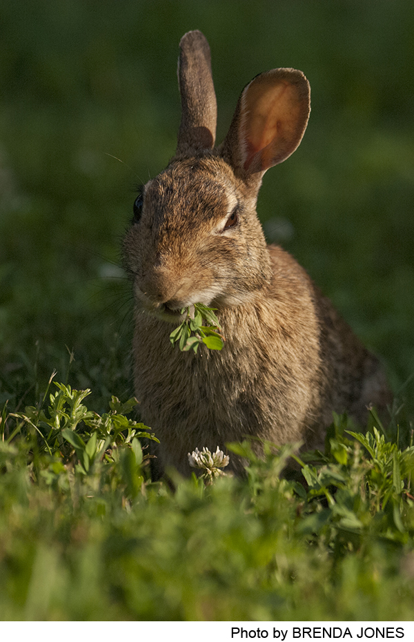
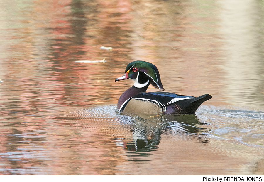
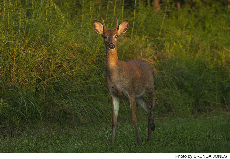
Animal life is an essential part of the Canal Park ecosystem. Although no wildlife survey has been taken, the wooded sections are sure to support oppossums, raccoons, and skunk, and the meadows doubtless provide home to cottontail rabbits, red fox, and woodchuck. Beavers are making a comeback in the feeder canal, and can be seen often in the evening in Lambertville. The canal itself is a good environment for fish: sunfish, white catfish, northern brown bullhead, white and yellow perch, and eastern chain pickerel. Shad and walleyed pike, important game fish, occasionally visit the canal.
Do you have information about this trail?
Click Here to contribute.
-
The 22-mile long feeder canal was built in the 1830s as part of the overall construction of the D&R Canal. Dug by hand, mostly by Irish immigrants, the feeder canal—50 feet wide and 6 feet deep—was designed to carry water entering from the Delaware River at Bulls Island to supply the main canal from Trenton north to New Brunswick. But the feeder canal also became a useful shipping route. After the canal’s completion, changes were made to allow boats crossing the Delaware from the canal on the Pennsylvania side to enter the feeder canal at Lambertville, opening an important route for shipment of coal from the Pennsylvania mines to meet the booming industrial and residential needs of New York City. In the 1860s and 1870s, 80 percent of the cargo carried on the canal was coal.
The Delaware and Raritan Canal as a whole has served three functions since it opened in 1834. First it provided an inexpensive means to move freight between the Raritan and Delaware Rivers. It was a critical link for nearly 100 years in the network of rivers and canals that linked the Pennsylvania coalfields to New York and other cities. Second, it has provided water to meet the growing residential and industrial needs of New Jersey; shipping on the canal ended in the 1930s, and the canal was then rehabilitated to serve as a water supply system.
Its third function, and today the most obvious, is that of an informal recreation area. In 1973, the D&R Canal and numerous structures along the canal were put on the National Register of Historic Places; in 1974 the New Jersey Legislature created the Delaware & Raritan Canal State Park and the Delaware & Raritan Canal Commission, beginning the long process of developing a priceless recreational and natural resource with links to many historic sites.
Do you have information about this trail?
Click Here to contribute.
-
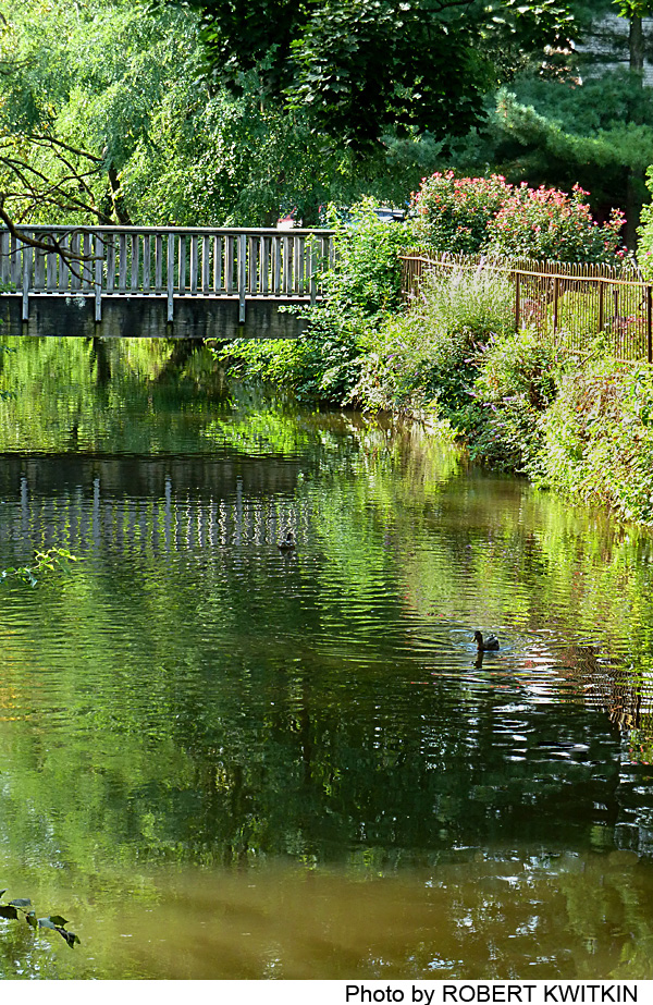
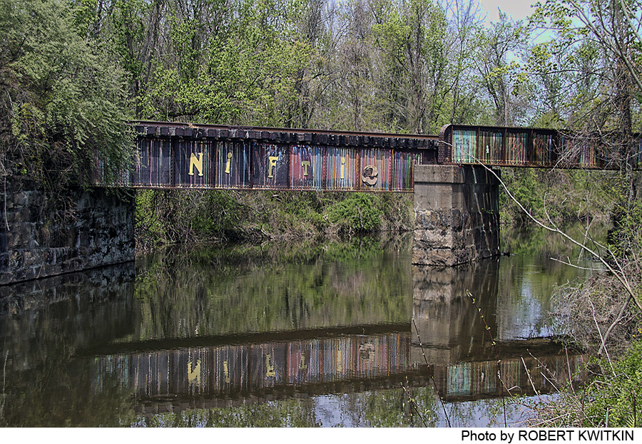
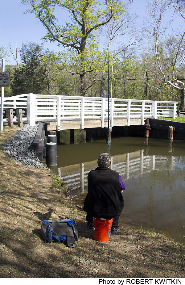
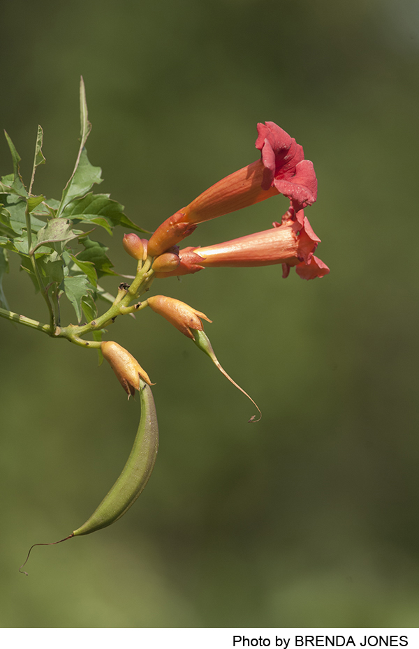
Photos
Videos
