Enjoy the Great Outdoors
of Central Jersey
Walking in nature is healthy for the mind and body and Central New Jersey abounds with trails for people of all fitness levels. From deciduous woodlands to grassy meadows to nature parks, there are endless possibilities to get outside and explore our area.
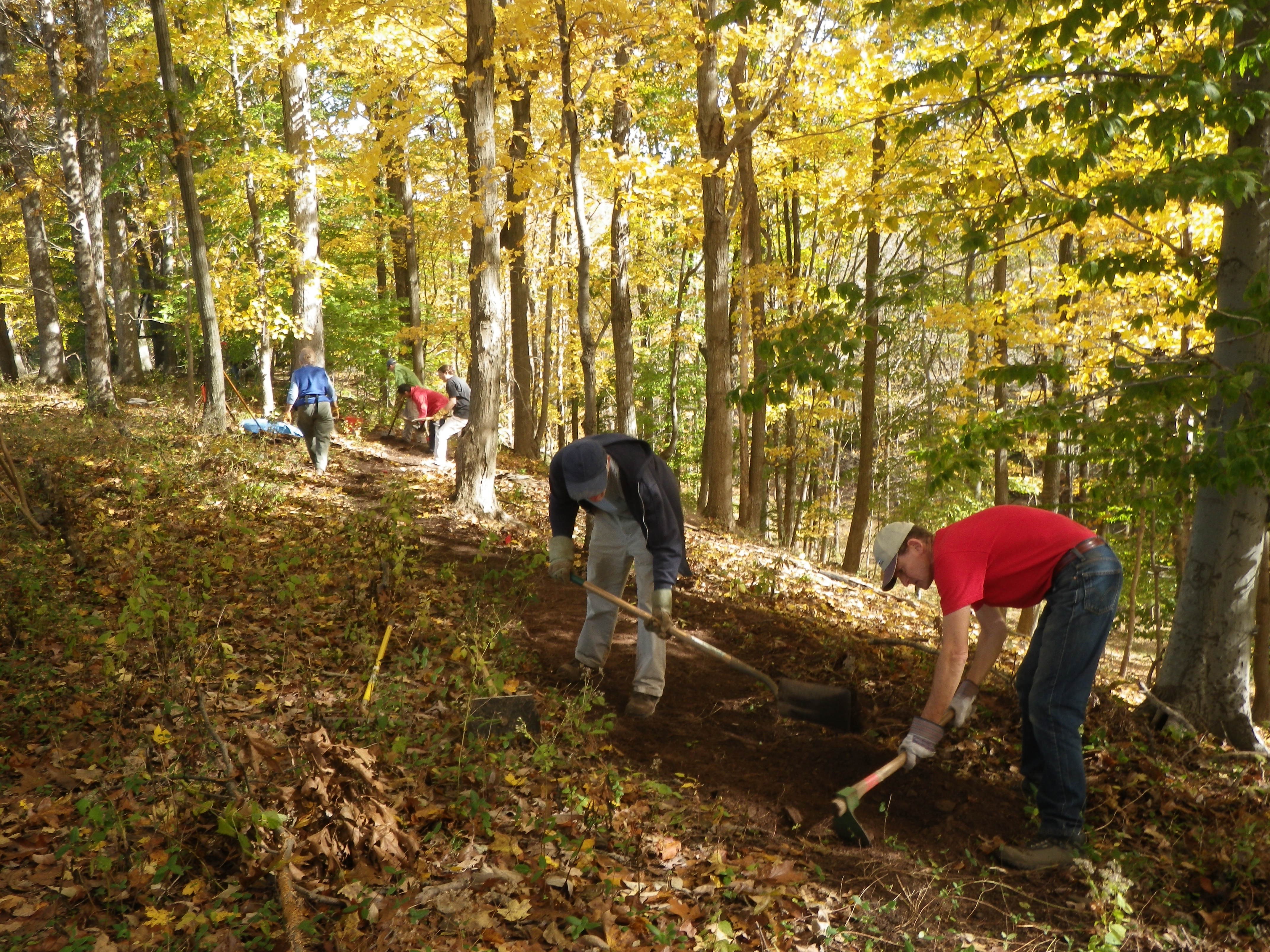
The New Jersey Trails Association provides the information you need to find trails in our region. NJTA is headed by D&R Greenway Land Trust with input from other land trusts and local open space groups. Many of the trails found on this site were built by D&RG volunteers.

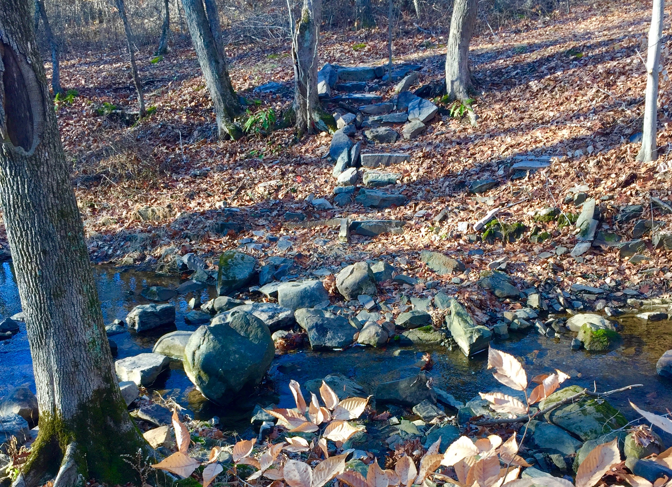
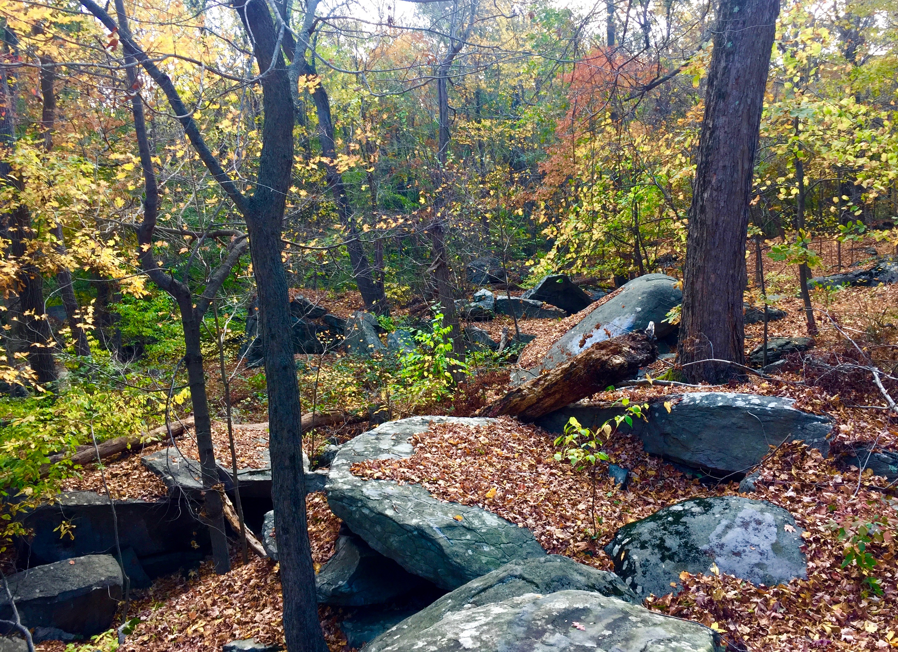
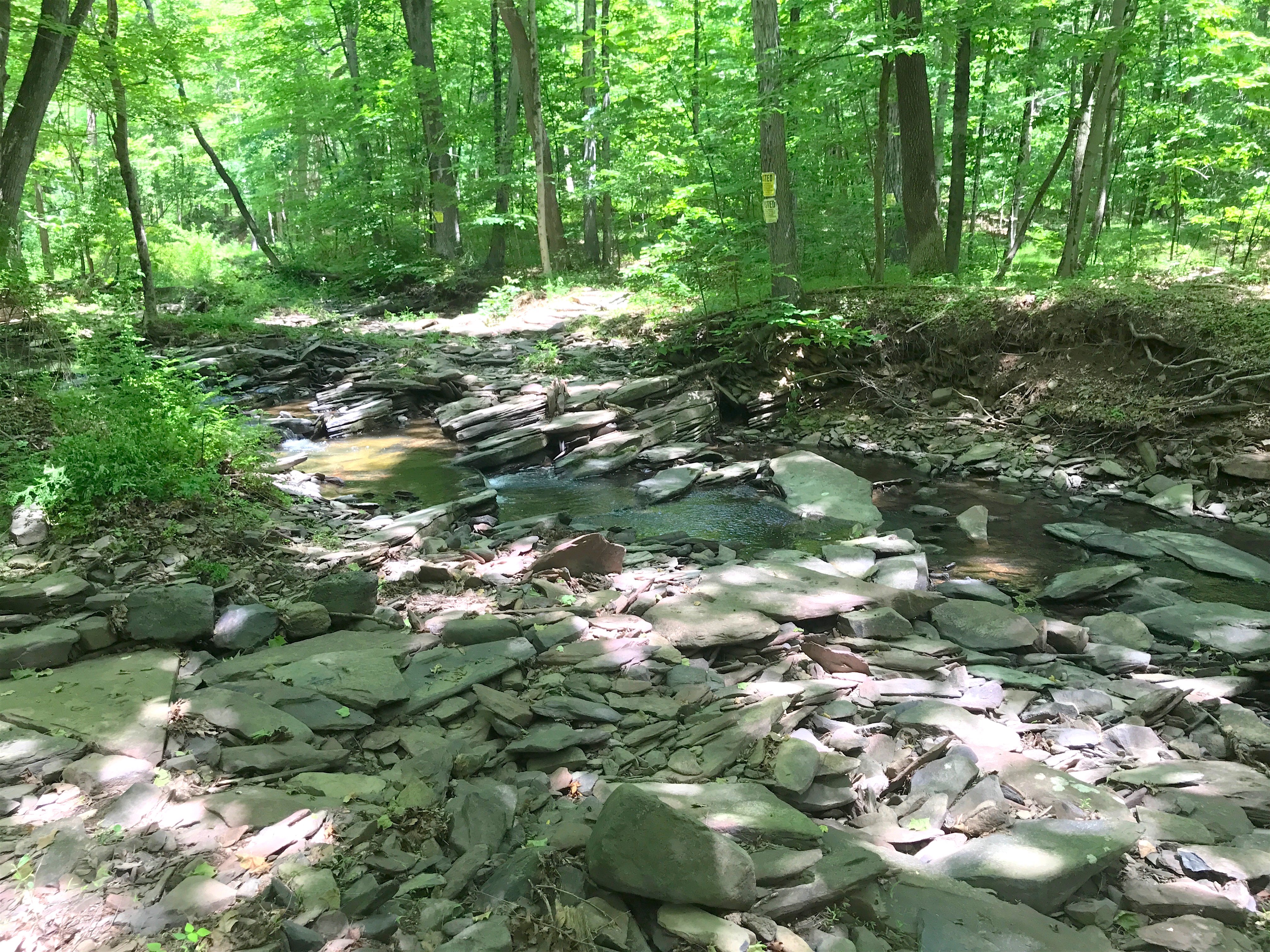
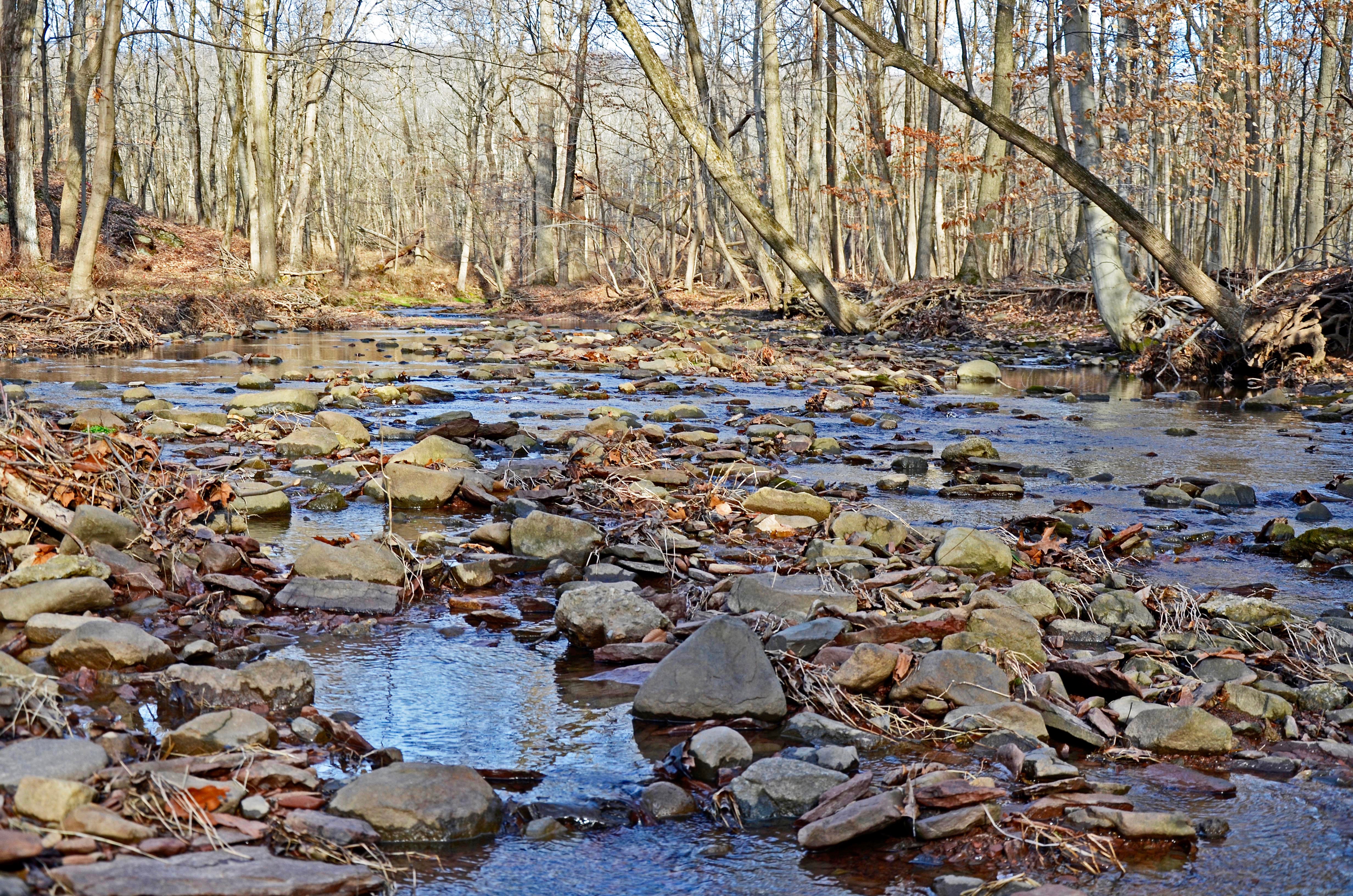
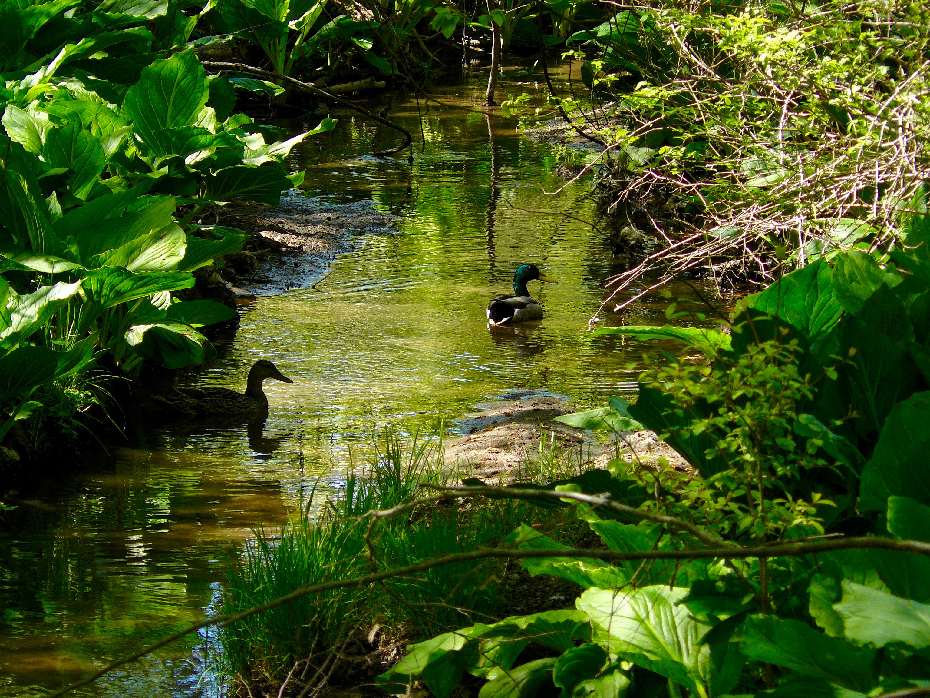
Just a few of the many beautiful trails you can discover here.
 Featured Trail
 Report a Trail or Maintenance Issue
To report a trail or maintenance issue of a trail listed on this website, please email Click Here